

Ready to explore this trail?
View Trail Map in AppRegional Classic
A must do route for the area handpicked by local experts.
A $5 forest service fee is paid at a self-service kiosk at the trailhead. The steep, wet lower mile is a common source of falls; trekking poles and caution are strongly advised on the descent.
Path Type
There and Back
This route starts and ends at the Beaver Brook trailhead in Kinsman Notch, covering about 6.5 miles round trip with roughly 3,103 vertical feet of gain.
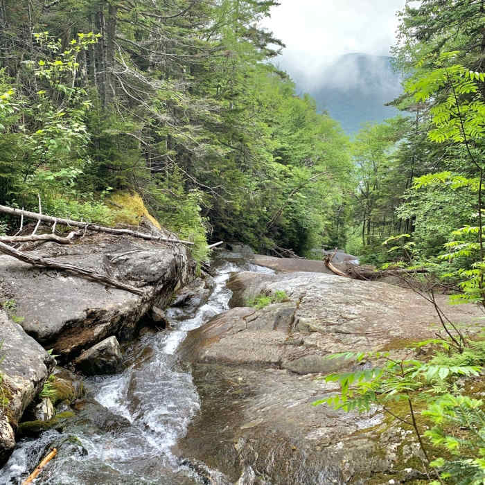
From the trailhead, the Beaver Brook Trail (following the Appalachian Trail) climbs steeply alongside the Beaver Brook Cascades.
Crux: Most of the first mile holds an unassisted 34% grade with no switchbacks, occasional stairs and hand rungs, and steep drop-offs beside the water — this is the route's clearest crux, and it is not recommended in wet or icy conditions.
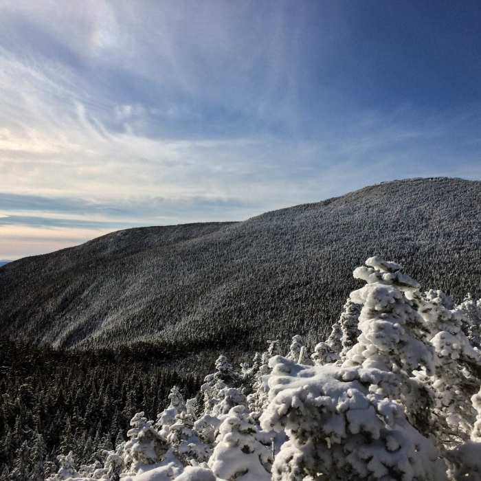
At the top of the cascades, a Dartmouth Outing Club shelter offers views of the Franconia and Kinsman Ridges. Beyond the shelter, the grade softens to about 13% through evergreen forest. The trail ends at a junction with the Benton Trail, which continues a short distance to Mount Moosilauke's summit.
On the descent, watch closely for the marked junction about 0.4 miles below the summit where the Benton Trail and Beaver Brook Trail diverge — hikers regularly continue straight onto the Benton Trail by mistake instead of turning onto Beaver Brook.
All Clear
Some Issues
Some Issues
Looking for more condition reports?
Mount Moosilauke via Benton Trail
Mount Moosilauke via Benton Trail
Mount Moosilauke via Gorge Brook
Mount Moosilauke via Gorge Brook
Mount Moosilauke Carriage Road
Mount Moosilauke Carriage Road
Indian Head Trail
Indian Head Trail
Mount Flume + Mount Liberty Loop
Mount Flume + Mount Liberty Loop
Contributors

