Ready to explore this trail?
View Trail Map in AppNo permit or fee is required. The trailhead access road (Tunnel Brook Road) has historically required a walk-in beyond a gate; check current Forest Service road status before relying on vehicle access all the way to the trailhead.
Path Type
There and Back
This route starts and ends at the Benton trailhead on Tunnel Brook Road, covering about 9.2 miles round trip with roughly 3,428 vertical feet of gain.
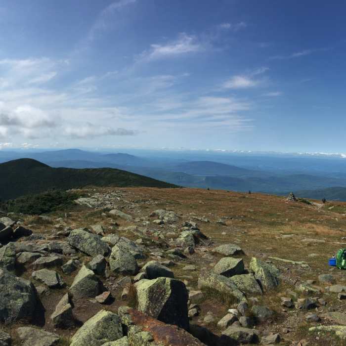
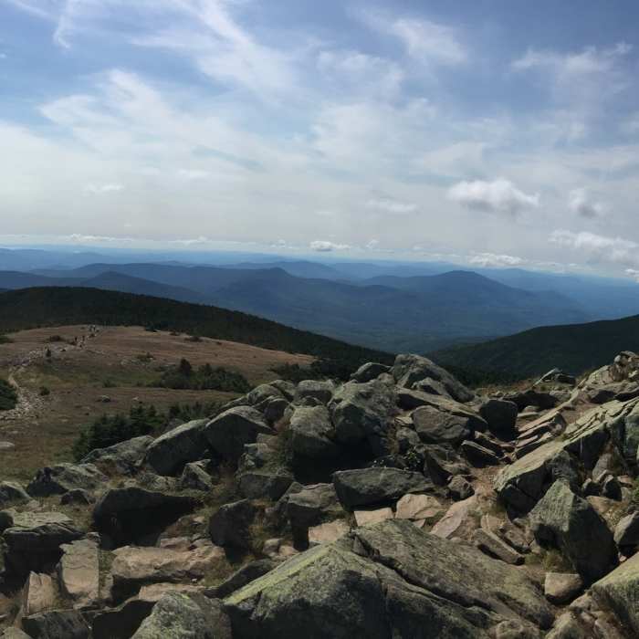
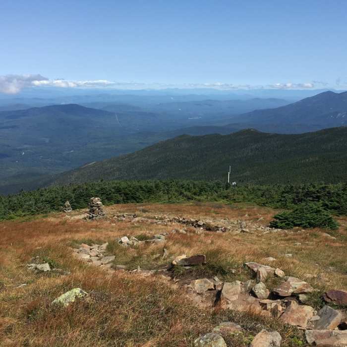
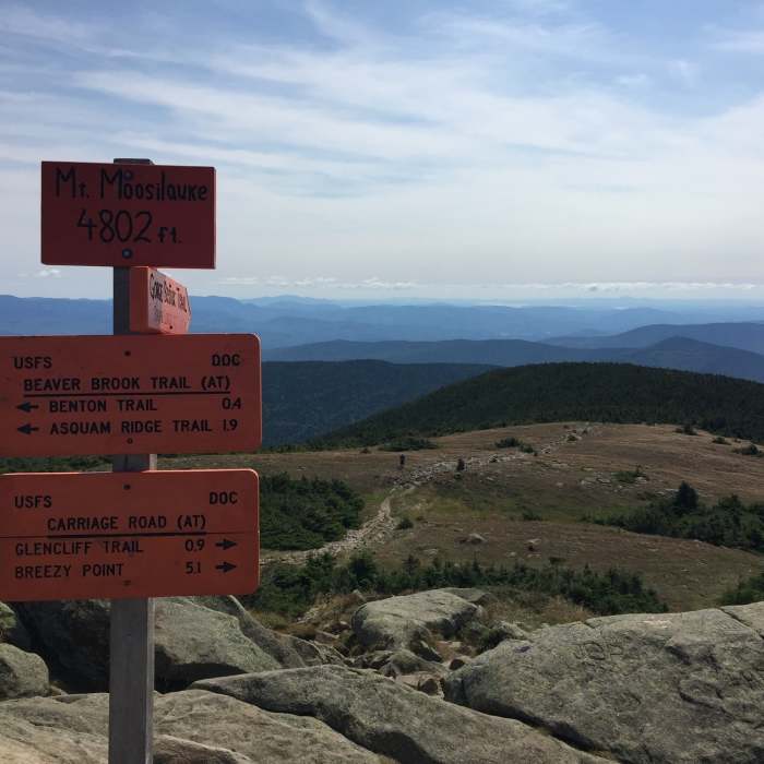
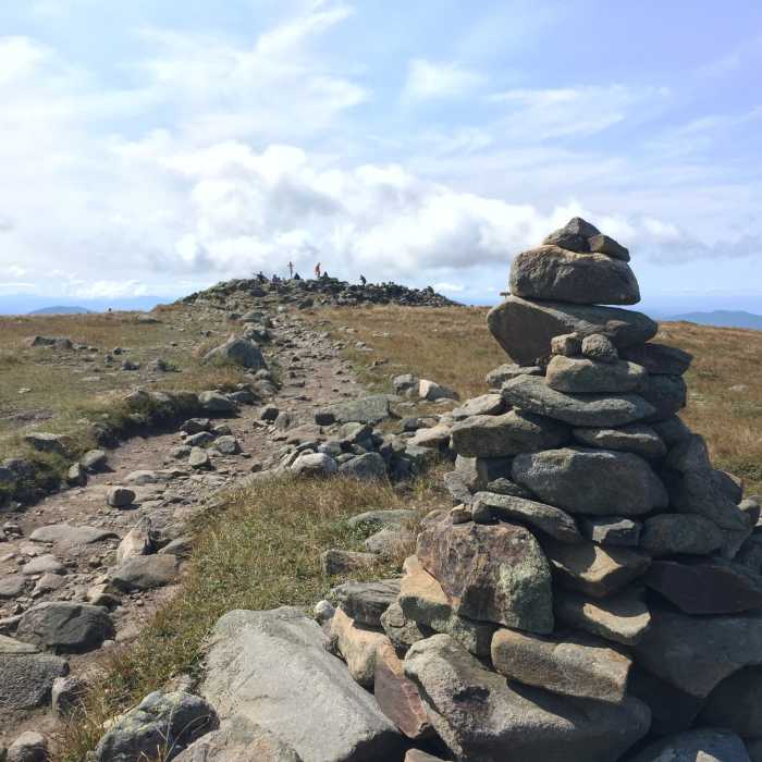
Depending on current road access, reaching the trailhead itself may require an additional walk of about 1.5 miles up Tunnel Brook Road from a gated parking area. From the trailhead, the Benton Trail climbs at generally easy grades through forest, becoming seeping and muddy in places at higher elevation; a water crossing partway up can run too high for rock-hopping after heavy rain. Traveling north to south, the trail catches early sunrise to the east and late sunset to the west across the ridge. In its final stretch around 2.8 miles, the trail joins the Appalachian Trail for the short push to Mount Moosilauke's broad summit dome, with a longer approach above treeline than the mountain's other standard routes.
Return by retracing the Benton Trail to the trailhead.
No Condition Reports
Mount Moosilauke via Beaver Brook Trail
Mount Moosilauke via Beaver Brook Trail
Mount Moosilauke via Gorge Brook
Mount Moosilauke via Gorge Brook
Mount Moosilauke Carriage Road
Mount Moosilauke Carriage Road
Indian Head Trail
Indian Head Trail
Contributors

