Ready to explore this trail?
View Trail Map in AppNo permit or fee is required. Breezy Point Road is very rough for its final stretch before the trailhead; low-clearance vehicles should park before the rough section and add roughly 0.5 miles round trip on foot.
Path Type
There and Back
This route starts and ends at Breezy Point, covering about 9.8 miles round trip with roughly 3,100 vertical feet of gain.
From the trailhead, the route follows a gently ascending double-wide former carriage road, crossing a few small streams. At around 1.6 miles, the grade steepens noticeably through a series of switchbacks.
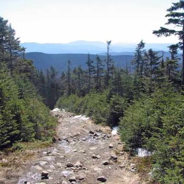
The trail narrows to singletrack near the top, tracing a ridge across South Peak at 4 miles before turning rockier on the final approach to Mount Moosilauke's main summit.
Return by retracing the Carriage Road to Breezy Point; the smoother, less rocky surface makes for a notably easier descent than the mountain's other approaches.
Some Issues
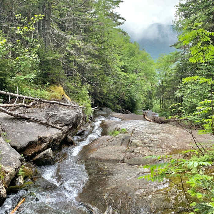
Lots of downed trees, could use some maintenance. Trail is very wet, just like hiking up a stream.
All Clear
Looking for more condition reports?
Mount Moosilauke via Gorge Brook
Mount Moosilauke via Gorge Brook
Mount Moosilauke via Beaver Brook Trail
Mount Moosilauke via Beaver Brook Trail
Ore Hill
Ore Hill
Mount Moosilauke via Benton Trail
Mount Moosilauke via Benton Trail
Contributors

