
Ready to explore this trail?
View Trail Map in AppRegional Classic
A must do route for the area handpicked by local experts.
No fee or permit is required to hike, and dogs must be leashed. The paved Notch and Summit roads to the summit close seasonally, from Columbus Day to Memorial Day.
Path Type
There and Back
This route starts and ends at the Cheshire Harbor Trailhead on West Mountain Road in Adams and reaches the summit of Mount Greylock (3,491'), the highest point in Massachusetts, for a round trip of about 6.2 miles.
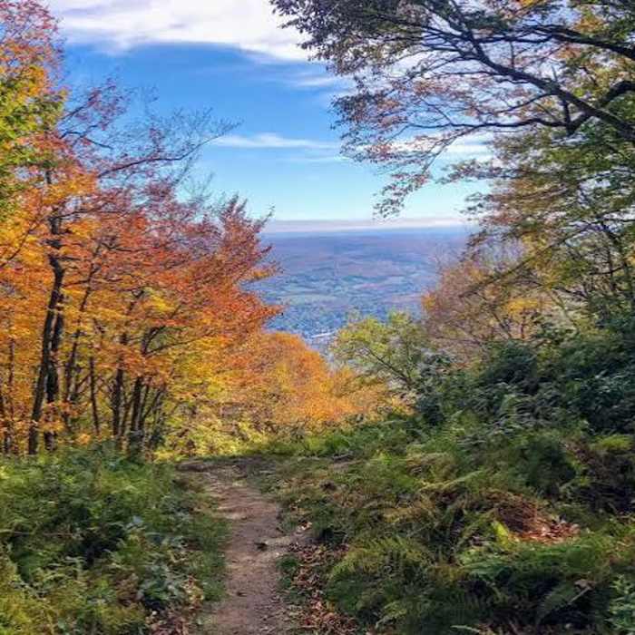
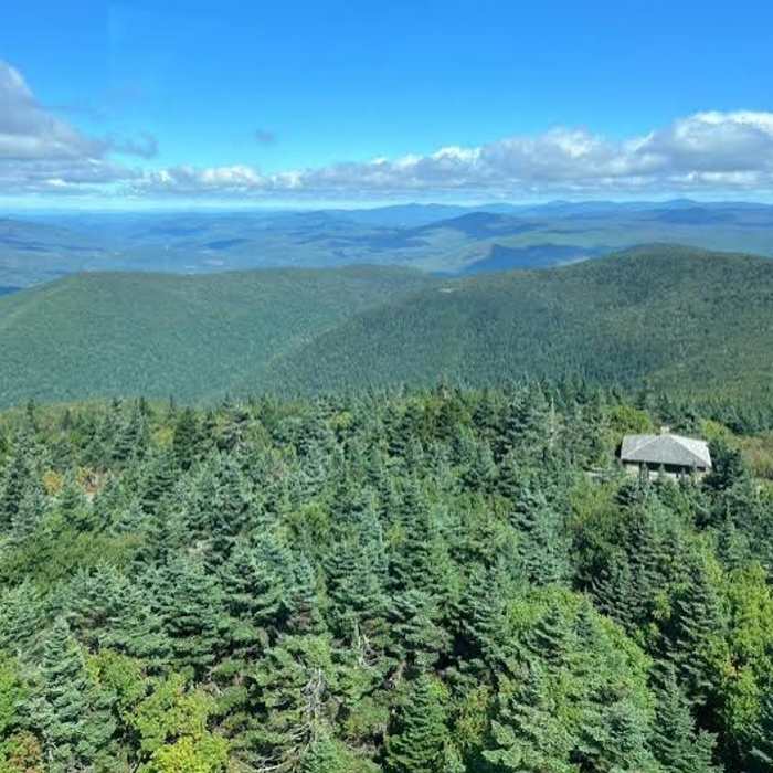
From the trailhead, the route climbs steadily through hardwood forest on a wide double-track, gaining elevation gradually. Partway up, the trail turns rockier near the junction with Old Adams Road; a side trail here leads right to Peck's Falls. Continue straight, crossing Rockwell Road, and climb to a junction with the Appalachian Trail. Turn left (north) onto the Appalachian Trail for the final 0.5 miles, passing Peck's Brook Shelter and a small pond on the left before a steeper, narrower push to the summit. The route crosses the paved Summit Road just below the top, emerging at the summit parking area beside the War Memorial Tower and Bascom Lodge.
Return by retracing the same route, including the steeper Appalachian Trail section, which is more exposed to loose footing on the way down.
No Condition Reports
Mount Greylock via Bellows Pipe
Mount Greylock via Bellows Pipe
Mount Greylock Summit Loop
Mount Greylock Summit Loop
Greylock in the Round
Greylock in the Round
Contributors

