Ready to explore this trail?
View Trail Map in AppNo permit or fee is required. Parking is at the end of Gould Road, just before private property; the connector between the two trailhead lots is unsigned.
Path Type
Loop
This route starts and ends near the Bellows Pipe trailhead at the end of Gould Road, covering about 6.6 miles as a loop with roughly 2,250 vertical feet of gain.
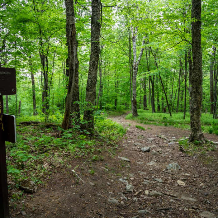
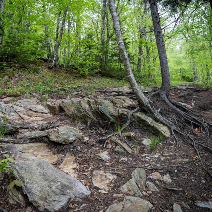
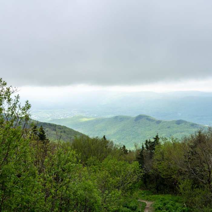
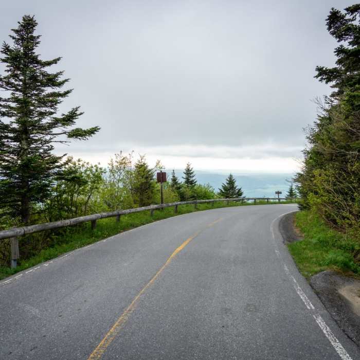
From the parking area, follow the trail from the back of the lot onto the Bellows Pipe Trail, passing views of creeks and a waterfall as the trail climbs. At about 2 miles (2,600'), a series of switchbacks leads up to the Appalachian Trail; turn left, continuing the gradual ridge climb to the summit of Mount Greylock (3,491'), Massachusetts's highest point, marked by the Veterans War Memorial Tower and Bascom Lodge.
From the summit, follow signs for the Appalachian Trail south, near the tower's TV antenna. After about 10 minutes, signed junctions mark the start of the Gould Trail; follow it down the mountain's other side, descending through forest to a separate Gould Trail parking lot. From there, an unsigned cutout in the wooden fence at the lot's edge leads back to the Bellows Pipe trailhead parking area.
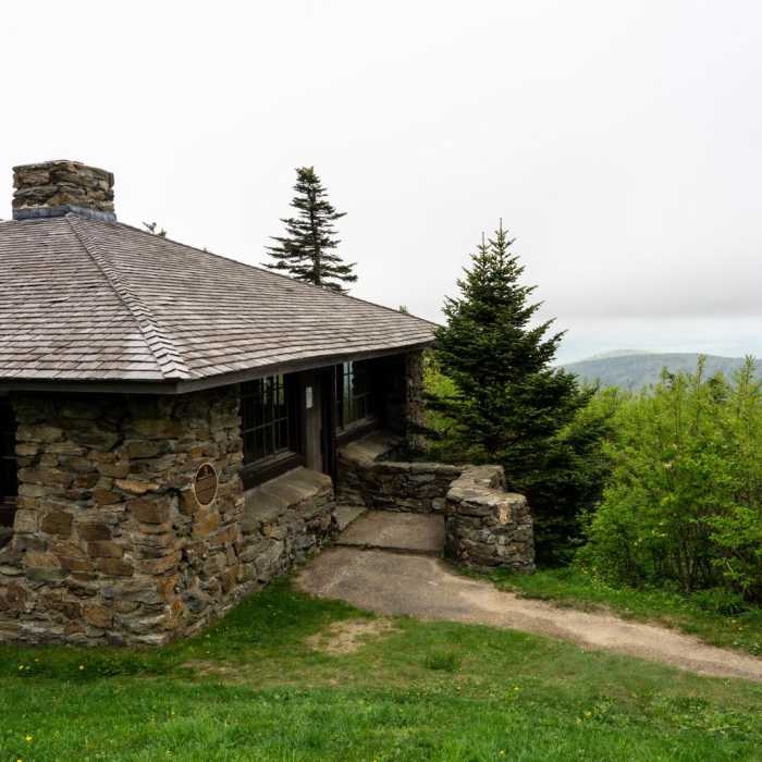
Mount Greylock is the highest natural point in Massachusetts at 3,489 feet (1,063 m). Although geologically part of the Taconic Mountains, Mount Greylock is commonly associated with the abutting Berkshire Hills to the east. The mountain is known for its expansive views encompassing five states and the only taiga-boreal forest in the state.
Some Issues
Some Issues
Some Issues
Some Issues
Looking for more condition reports?
Mount Greylock via Bellows Pipe
Mount Greylock via Bellows Pipe
Mount Greylock via Cheshire Harbor Trail
Mount Greylock via Cheshire Harbor Trail
Greylock in the Round
Greylock in the Round
Contributors

