Ready to explore this trail?
View Trail Map in AppNo permit or fee is required. The route crosses the paved summit auto road; no water is available between the Money Brook Trail and a small pond below the summit on the descent.
Path Type
Loop
This route starts and ends at the Hopper Road parking area in Williamstown, covering about 11.5 miles as a loop with roughly 3,018 vertical feet of cumulative gain.
From the parking area, follow the Hopper Trail briefly before turning onto the Money Brook Trail, climbing gradually up the valley between Mount Greylock and Mount Prospect. A short side trail reaches Money Brook Falls, a worthwhile detour. The Money Brook Trail climbs to meet the Appalachian Trail near Notch Road, on the ridge's northern shoulder — the last reliable water source before descending Greylock's far side.
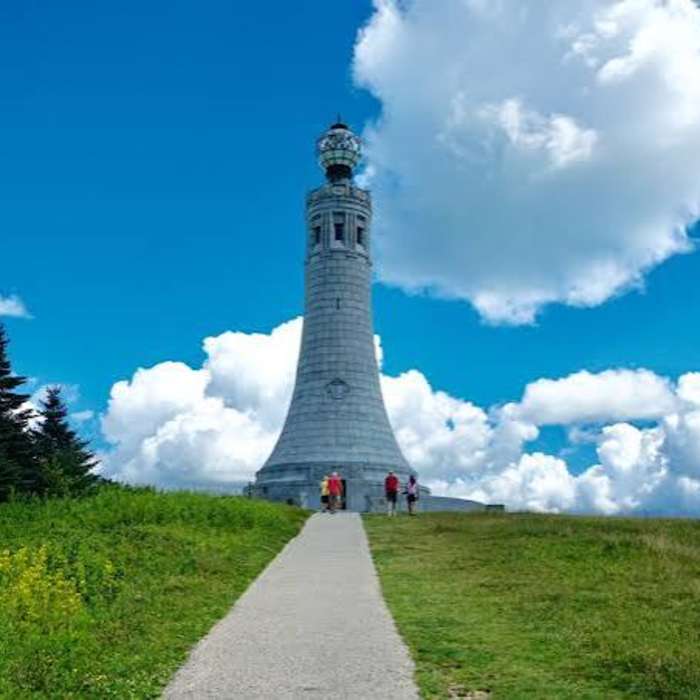
Turn south onto the Appalachian Trail, climbing over Mount Williams (2,956') and continuing along the ridge to Mount Fitch (3,100'). The AT crosses the paved Mount Greylock summit road before the final climb, connecting with the historic Thunderbolt Trail corridor on the approach to the summit of Mount Greylock (3,491'), Massachusetts's highest point, marked by the Veterans War Memorial Tower and Bascom Lodge.
From the summit, follow the Hopper Trail south briefly, then turn onto Sperry Road, passing through its campground to the Stony Ledge Trail junction. A short, steep climb leads to Stony Ledge, with views into Vermont, New York, and New Hampshire. Descend via the Hopper Trail's western leg back to the Hopper Road parking area.
No Condition Reports
Mount Greylock via Bellows Pipe
Mount Greylock via Bellows Pipe
Mount Greylock Summit Loop
Mount Greylock Summit Loop
Mount Greylock via Cheshire Harbor Trail
Mount Greylock via Cheshire Harbor Trail
Pine Cobble Trail
Pine Cobble Trail
Contributors

