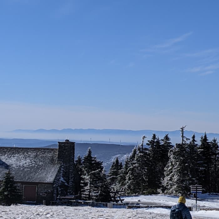
Near Mount Greylock via Bellows Pipe
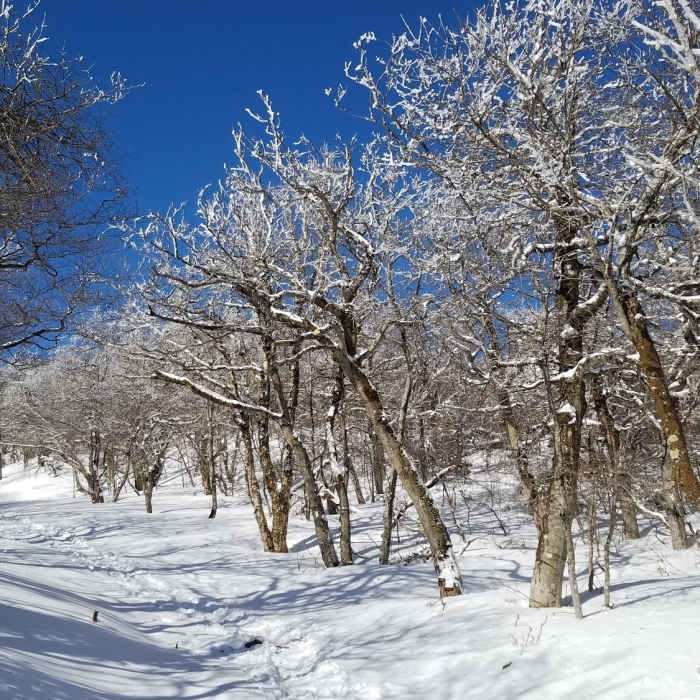
Beautiful section of the AT just as the snow/ice was beginning to melt on the ridge
Near Mount Greylock via Bellows Pipe
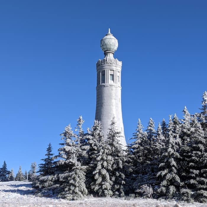
Icy tower on Mt Greylock.
Near Mount Greylock via Bellows Pipe
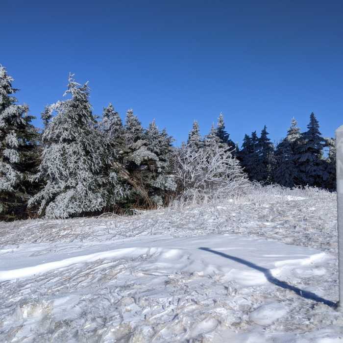
Frozen everything
Near Mount Greylock via Bellows Pipe
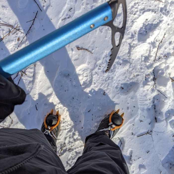
Microspikes recommended icy winter conditions (these crampons/ice axe are overkill).
Near Mount Greylock via Bellows Pipe
More mountains in the distance

Looking for more photos?

View All Photos
View Map
Driving Directions
Hike Route
Buy NowView in 3D

Mount Greylock via Bellows Pipe

4.0 (1 Rating)
A steep climb through the Bellows Pipe notch, passing a backcountry lean-to and seasonal waterfall on the way to the Appalachian Trail and the summit of Massachusetts's highest peak.
5.7
mi
Distance
2,253
ft
Gain
strenuous
Difficulty
Commonly BackpackedDogs AllowedFall ColorsHistoricalRiver/CreekViewsWaterfallWildlife
Access Issues
No permit or fee is required. Parking is limited to a small, unmarked lot at the end of Gould Road; several unsigned trail forks require care to stay on route.

Route Details

Flatter
Steeper
5.66mi
Distance
2,253ft
Elevation Gain
2,253ft
Elevation Loss
50%
Max Grade
3,490ft
High Point
1,239ft
Low Point
Path Type
There and Back
Description
This route starts and ends at the Gould Road parking area near Adams, covering about 5.8 miles round trip with roughly 2,253 vertical feet of gain. From the parking area, follow the gravel path and turn left onto the Bellows Pipe Trail, climbing alongside a creek on the left. At Four Corners, where the Thunderbolt Trail crosses the Bellows Pipe Spur, continue straight, following signed junctions and red-blazed "Skin Path" markers where the trail crosses other paths. Bear left at an unmarked fork where the Bellows Pipe Spur splits off; this keeps you on the main trail past the Bellows Pipe Lean-To and a small seasonal waterfall. Bear left again at the junction with the Appalachian Trail, heading south along the ridge to the summit of Mount Greylock (3,491'), Massachusetts's highest point, marked by the Veterans War Memorial Tower and Bascom Lodge. Return by retracing the same route to Gould Road.

Route Conditions

Report Conditions
No Condition Reports
Report Conditions

Nearby Hike Routes

Mount Greylock Summit Loop

Hike Route

Mount Greylock Summit Loop

Dogs Allowed
strenuous
6.36 mi
+2,283 ft
Mount Greylock via Cheshire Harbor Trail

Classic Hike Route

Mount Greylock via Cheshire Harbor Trail

Dogs Allowed
strenuous
6.18 mi
+1,940 ft
Greylock in the Round

Hike Route

Greylock in the Round

Dogs Allowed
strenuous
11.51 mi
+3,019 ft
Busby Trail to Spruce Hill

Hike Route

Busby Trail to Spruce Hill

Birding
easy
2.86 mi
+688 ft
Haskins Trail to Bog Pond

Hike Route

Haskins Trail to Bog Pond

Birding
easy
1.96 mi
+109 ft
Bradley Farm Trail

Hike Route

Bradley Farm Trail

Historical
easy
2.08 mi
+469 ft
Contributors
onX Maps, Inc
