Near Shell Pond Trail (# 31882)
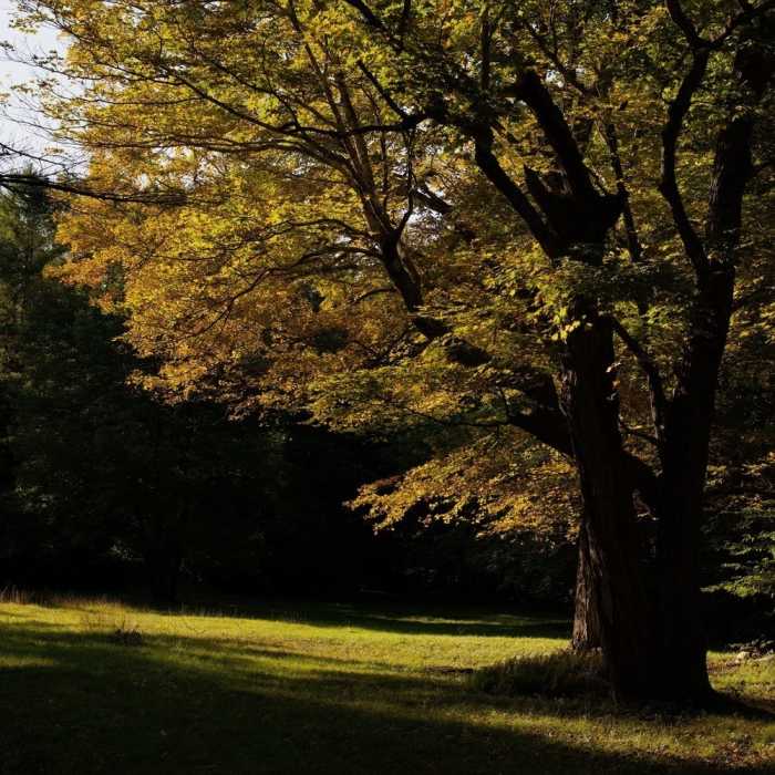
In the fall, the leaves change color and really glow in the evening.
Near Shell Pond Trail (# 31882)
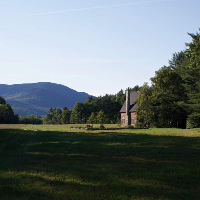
The "Stow Airport" comes into view as you work back toward the Stone House. They ask that you stay on the airstrip as you pass the house and make your way back to the parking lot.
Near Shell Pond Trail (# 31882)
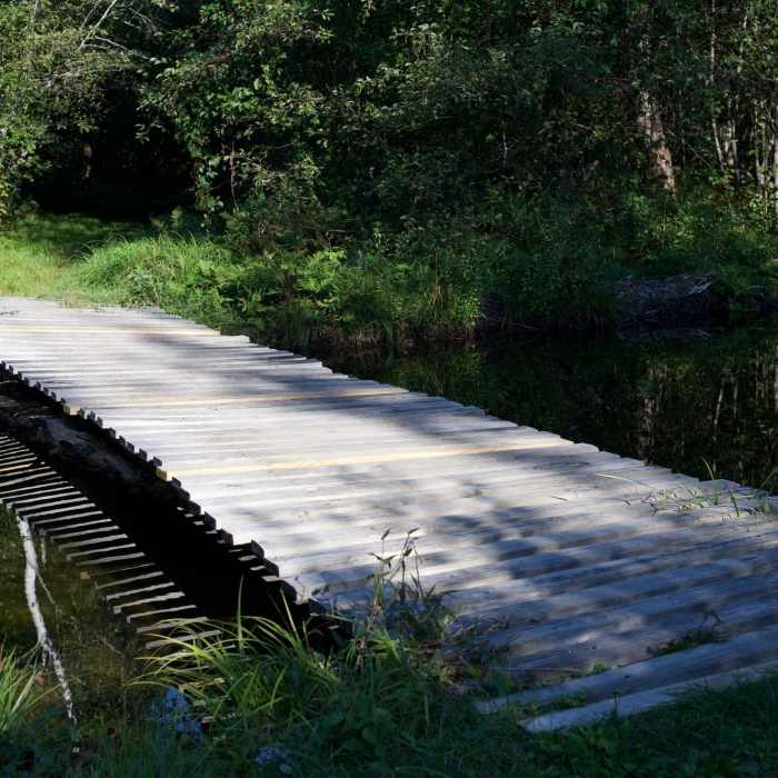
A wooden bridge crosses a stream that feeds into Shell Pond.
Near Shell Pond Trail (# 31882)
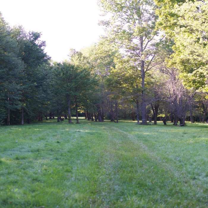
The trail makes its way through an Apple Orchard.
Near Shell Pond Trail (# 31882)

Looking for more photos?

View All Photos
View Map
Driving Directions
Hike Trail
Buy NowView in 3D

Shell Pond Trail (# 31882)

3.0 (1 Rating)
1.2
mi
Distance
21
ft
Gain
moderate
Difficulty
BirdingRiver/CreekWildlife

Route Details

Flatter
Steeper
1.24mi
Distance
21ft
Elevation Gain
146ft
Elevation Loss
15%
Max Grade
748ft
High Point
602ft
Low Point
Path Type
Point to Point
Description
This trail starts from the trailhead on Deer Hill Road and travels 0.6 miles to the junction with Shell Pond Loop. Here, Shell Pond Loop starts to the left, but Shell Pond Trail turns right. It crosses over a footbridge, over Rattlesnake Brook, then exits the woods. Here, the trail travels along what is referred to as the airstrip. The trail takes a slight right (through a mowed path) to arrive at the base of Stone House Trail.

Route Conditions

Report Conditions
No Condition Reports
Report Conditions

Nearby Hike Routes

Find more hikes near: Lovell, Maine Jackson, New Hampshire Bethel, Maine
Caribou Mountain Loop

Hike Route

Caribou Mountain Loop

unknown
6.5 mi
+1,970 ft
Caribou Mountain via Bog Brook

Hike Route

Caribou Mountain via Bog Brook

unknown
5.54 mi
+1,975 ft
Carter Dome Loop via Bog Brook Trail

Hike Route

Carter Dome Loop via Bog Brook Trail

Dogs Allowed
extreme
11.38 mi
+3,253 ft
Gentian Pond Out and Back

Hike Route

Gentian Pond Out and Back

Fall Colors
strenuous
7.59 mi
+1,471 ft
Mt. Crag

Hike Route

Mt. Crag

Cave
strenuous
2.21 mi
+669 ft
Black Cap Trail

Hike Route

Black Cap Trail

Birding
moderate
2.49 mi
+660 ft
Contributors
David Smith
