Ready to explore this trail?
View Trail Map in AppPath Type
There and Back
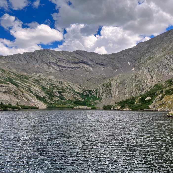
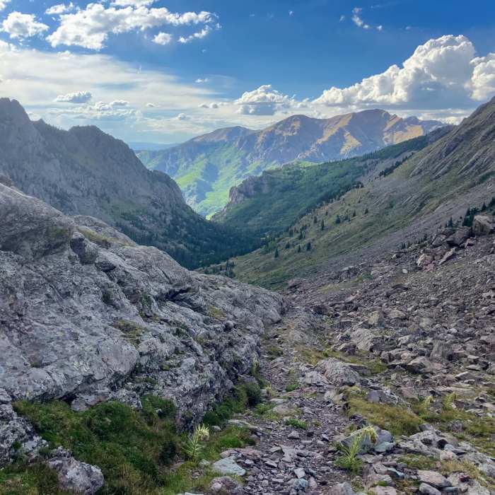
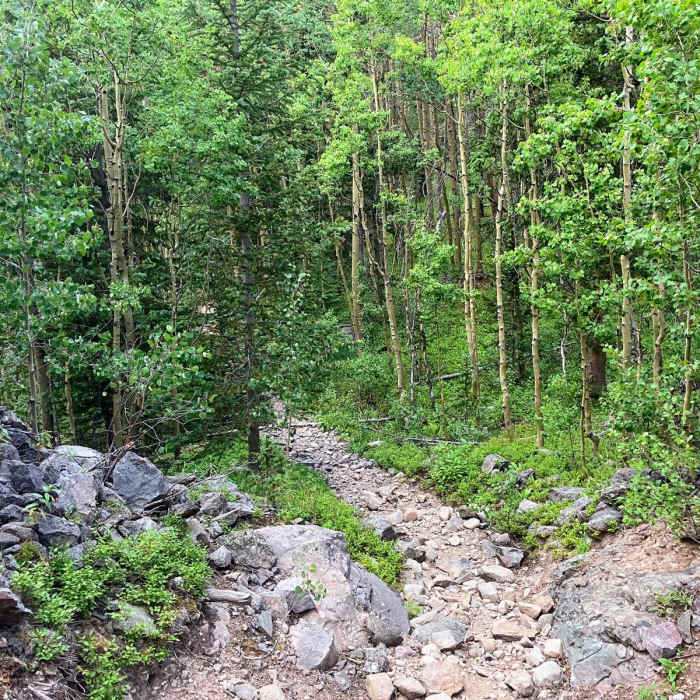
The North Crestone Trail is an 11.2-mile out-and-back singletrack route located near Crestone, Colorado, within the Rio Grande National Forest. Beginning at the North Crestone Campground, the trail climbs from approximately 8,560 feet to nearly 11,850 feet at North Crestone Lake. The route is well-suited for day-hiking, backpacking, and trail running, following North Crestone Creek through scenic stands of aspen and pine.
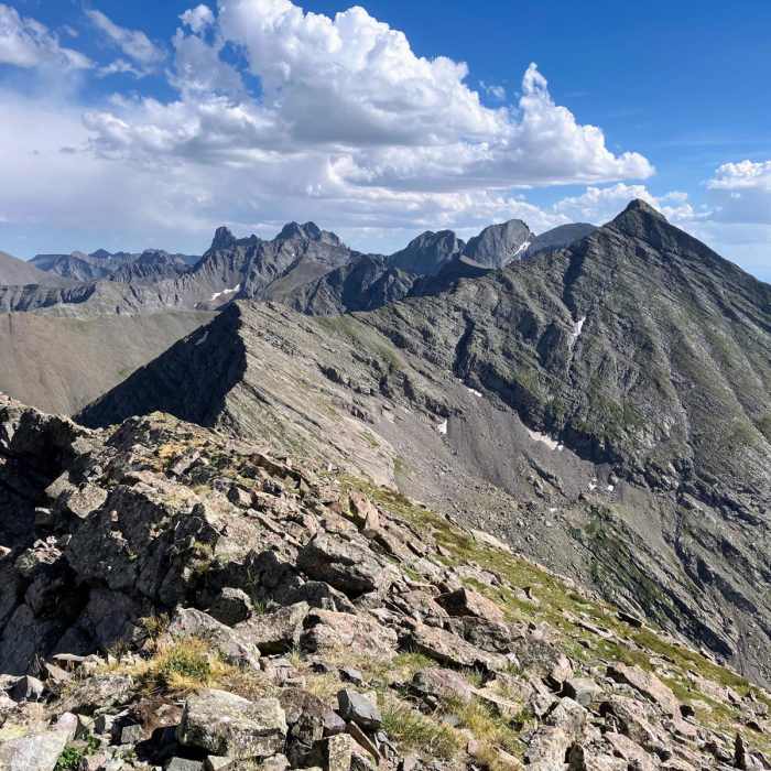
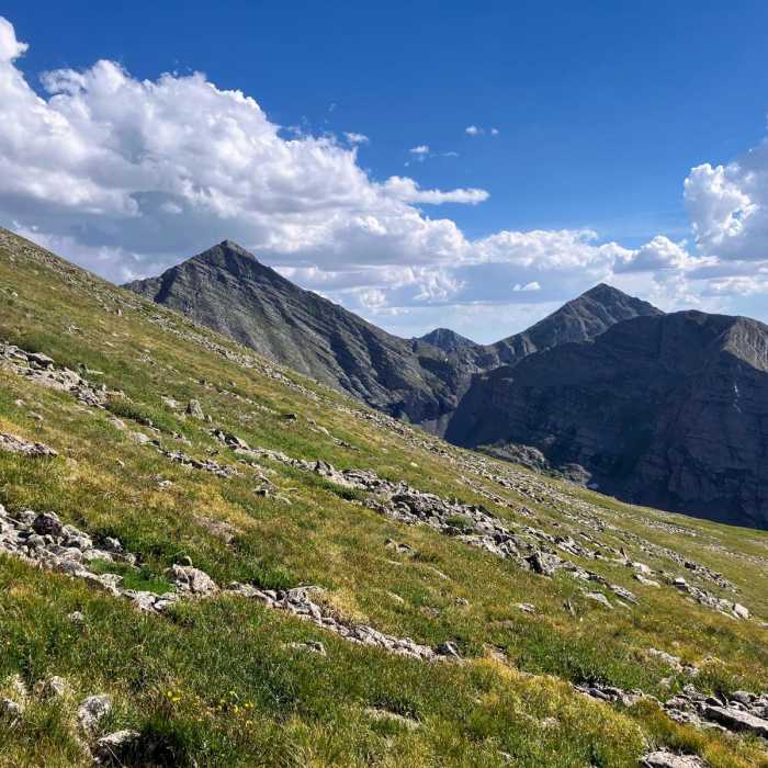
At approximately 2.5 miles, the trail reaches a junction with trails #747 and #746, which offer connections for extended backpacking trips through the Sangre de Cristo Wilderness. The trail continues to climb steadily, with a steep final half-mile push before reaching North Crestone Lake. The lake is situated in a high alpine basin below the crest of the Sangre de Cristo Mountains, nestled between Fluted Peak (13,543 feet) and Mount Adams (13,940 feet).
Hikers can access Fluted Peak by skirting the north side of the lake and navigating the boulder fields to the summit. Backpackers should utilize established campsites and practice Leave No Trace principles. Due to a high volume of search and rescue incidents on the surrounding peaks, users are advised to stay on established routes and maintain high situational awareness.
No Condition Reports
South Crestone Lake
South Crestone Lake
Kit Carson Peak via Challenger Point
Kit Carson Peak via Challenger Point
Kit Carson North Ridge
Kit Carson North Ridge
Challenger Point North Slope
Challenger Point North Slope
Dry Creek Lakes
Dry Creek Lakes
Venable to Comanche Loop
Venable to Comanche Loop
Contributors

