Ready to explore this trail?
View Trail Map in AppRegional Classic
A must do route for the area handpicked by local experts.
No permit is required, but the small trailhead lot fills by mid-morning on summer weekends; the final stretch of Forest Road 949 is rough dirt and 4WD is recommended. Camping is prohibited along the Willow Lake shoreline; use designated sites in the zone just below it.
Path Type
Loop
This is not a hike or a scramble: reaching Kit Carson Peak's summit via the North Ridge requires sustained, exposed Class 4 climbing on real rock, and a rope is commonly carried for the more serious sections. The technical climbing begins above Willow Lake, roughly a mile below the summit, and continues almost without a break to the top. Two named cruxes anchor the route — gaining the ridge off the northeast face, and the final pitch onto the summit plateau — detailed below. For full technical beta, consult Mountain Project and onX Climb Mode before attempting this route.
The route begins and ends at the Willow Creek trailhead (8,850') and reaches the 14,167' summit of Kit Carson Peak.
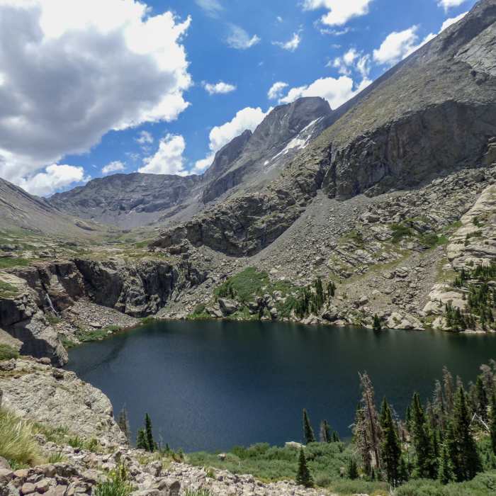
From the trailhead, follow the well-worn trail east to Willow Lake, climbing via switchbacks through the valley and crossing the creek along the way — a good place to camp if splitting the route over two days. Skirt the lake's left (north) side, staying above the cliffs and waterfalls, where the North Ridge comes fully into view for the final mile of approach.
Continue southeast, passing below boulders and cliff bands — getting past these bands before climbing higher is essential — to reach the base of the Outward Bound (OB) Couloir. Turn right at the couloir's base and ascend rock on its west side; Kit Carson's northeast face and the skyline of the north ridge come into view.
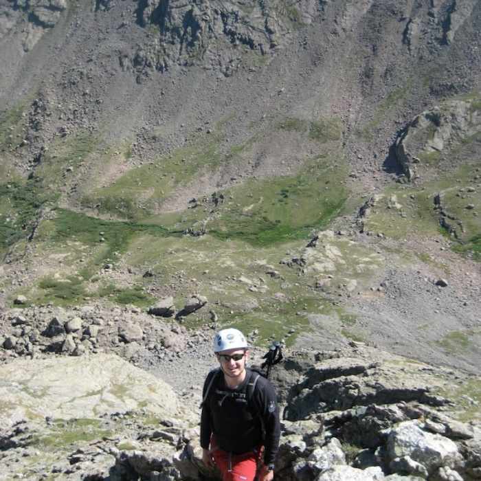
Crux: Gaining the ridge (~13,600'–13,800', on the northeast face): Pick the easiest line through easy Class 3 grassy ledges toward the northeast face, angling right as much as possible. Gaining the ridge itself is the route's first crux — the terrain steepens abruptly into sustained Class 4 climbing with exposure that catches many climbers off guard. Keep angling right until you reach the obvious spine of the north ridge.
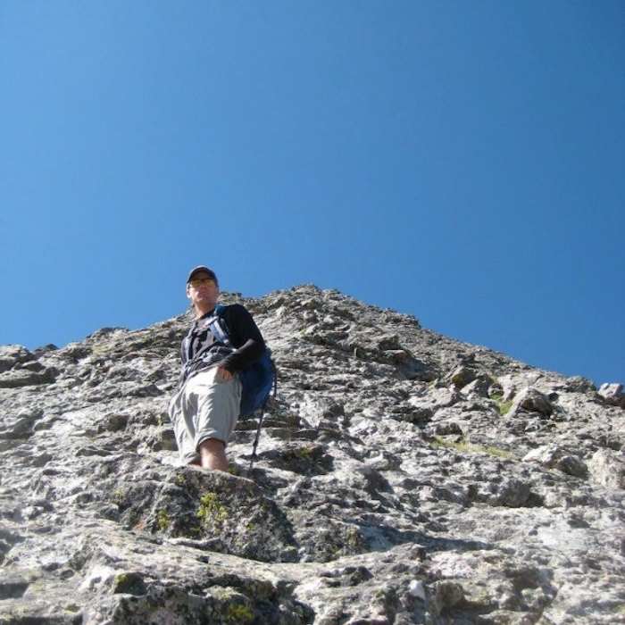
Once on the ridge, the climbing continuously exposed on solid, clumpy conglomerate rock, with several more steep Class 4 sections before the top.
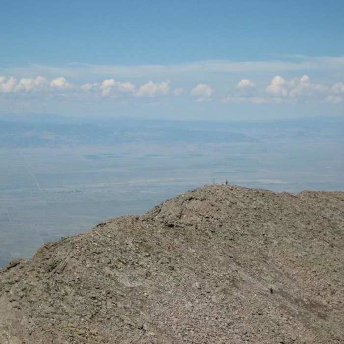
Crux: Gaining the summit plateau (final pitch below the summit): The route's last and most serious crux is a steep pitch that gains the summit plateau, with significant exposure on the left. Climb it deliberately; above this pitch, the angle relents into one final scramble and hike to the true summit.
For the descent, most parties do not reverse the ridge. Instead, traverse Kit Carson Avenue to Challenger Point and descend that peak's North Slope route back to Willow Lake — the standard, recommended way down. Downclimbing the North Ridge directly would likely require at least one rope-assisted rappel; descending the Outward Bound Couloir is a third option for parties carrying the gear for it.
Some Issues
Looking for more condition reports?
Kit Carson Peak via Challenger Point
Kit Carson Peak via Challenger Point
Challenger Point North Slope
Challenger Point North Slope
South Crestone Lake
South Crestone Lake
North Crestone Lake
North Crestone Lake
Dry Creek Lakes
Dry Creek Lakes
Venable to Comanche Loop
Venable to Comanche Loop
Contributors

