
Ready to explore this trail?
View Trail Map in AppRegional Classic
A must do route for the area handpicked by local experts.
No permit is required, but the small trailhead lot fills by mid-morning on summer weekends; the final stretch of Forest Road 949 is rough dirt.
Path Type
There and Back
The route starts and ends at the Willow Creek trailhead and reaches the 14,086' summit of Challenger Point.
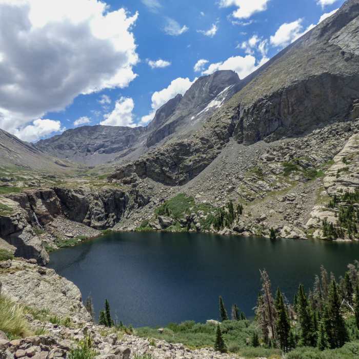
From the trailhead, follow Willow Creek Trail through meadows and forest, crossing several streams. At 1.25 miles, crest a small hill with a brief view of the route ahead, then re-enter forest and switchback up the drainage from 10,000' to 10,800', with Willow Creek below to the right. Cross the creek near 10,900' and climb a talus headwall to 11,100'. Re-enter the trees, cross another stream, then climb a short class 2 boulder section to reach Willow Lake (11,400') at 4.4 miles.
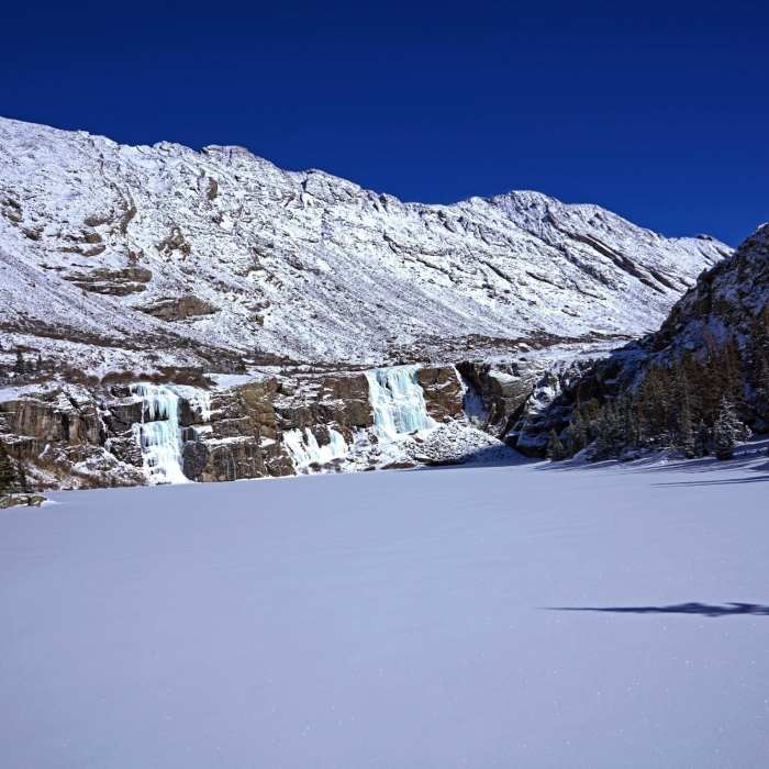
Follow the trail along the lake's left side and above its outlet waterfall, crossing the stream just above the falls. Cross the flats above the lake on cairns and intermittent trail to a junction; turn right toward Challenger and Kit Carson. The trail zigzags through ledges and a boulder field before easing near 12,300'. Stay left of a prominent rock rib as the trail thins, climbing alongside it as the grade steepens.
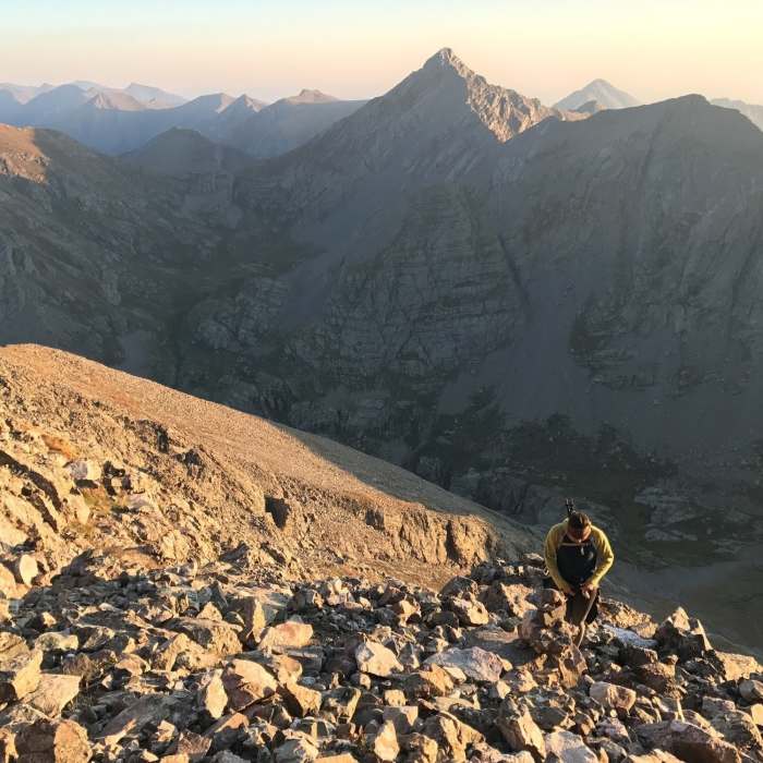
Crux: Near 13,200', at the top of the rib, veer left into the crux: 600 vertical feet of steep, loose talus where the trail disappears. Cairns mark the way — route-finding judgment is needed to keep the terrain at class 3 or easier. Stay right of a gully that often holds snow into August, climbing to a notch in the ridge near 13,860'.
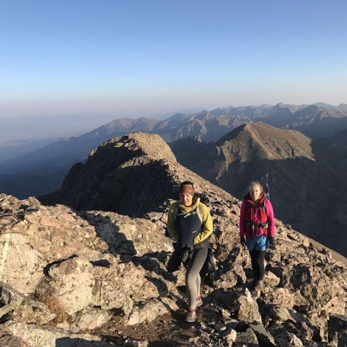
Pass through the notch, angle left to regain the ridge crest, and follow it southeast to the summit; some stretches narrow, so stay slightly left of the crest if exposure feels excessive.
Retrace the route to descend.
No Condition Reports
Kit Carson Peak via Challenger Point
Kit Carson Peak via Challenger Point
Kit Carson North Ridge
Kit Carson North Ridge
South Crestone Lake
South Crestone Lake
North Crestone Lake
North Crestone Lake
Dry Creek Lakes
Dry Creek Lakes
Venable to Comanche Loop
Venable to Comanche Loop
Contributors

