Ready to explore this trail?
View Trail Map in AppThe route begins at the Horn Creek Trailhead. To reach the trailhead from Westcliffe, Colorado, drive south on Highway 69 for 2.7 miles, turn right (west) onto Horn Road (County Road 130), and continue for 5.5 miles to the parking area at the end of the road. The dirt road is generally passable for standard passenger vehicles, though the final section can be rough and washboarded.
There are no parking fees or permits required to access the trailhead. A vault toilet is available at the parking area, but there is no potable water or trash service.
Because the trail enters the Sangre de Cristo Wilderness, visitors must fill out a free, self-issued wilderness permit at the trailhead registration box. Within the wilderness area, group sizes are limited to a maximum of 15 people. Campfires are prohibited within 300 feet of lakes, streams, and trails. Dogs must be kept on a leash or under strict voice control at all times.
Path Type
There and Back
From the Horn Creek trailhead, the route heads uphill on the access trail beside the outhouse, turns right after 200 feet, and then takes the next left. This winding trail leads for 0.25 miles to the Rainbow Trail. Turning right, the Dry Creek Trail is the first signed left.
The Dry Creek Trail eases into a sustained, rocky incline with only a few level spots. The trail crosses several seasonal creeks before converging with Dry Creek at the half-mile mark. From there, the trail parallels the creek for the next 0.5 miles, crossing near the first of many waterfalls about halfway through this section.
Nearly a mile into the hike, the grade levels off amidst wildflowers and thick undergrowth beneath a grove of beetle-kill trees. At 1.5 miles, the trail veers away from the creek into a quiet forest. Narrowing along a steep hillside, the trail levels again just before the 2-mile mark. Winding closer to the scree below the cliffs on the southern wall of the basin, the path approaches the creek and opens up at a meadow, providing views of the upper basin.
The trail flattens and wanders through the forest for half a mile, where fallen trees may occasionally block the path.
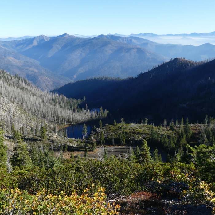
At nearly 3 miles, the trail reaches the wilderness boundary. Steep switchbacks gain the final 270 feet of elevation below the lakes. Trees transition to low shrubs as the terrain flattens, and the trail ends above timberline at the first of three lakes. Two additional lakes lie further up the basin, though thick surrounding willows make them challenging to reach.
No Condition Reports
Venable to Comanche Loop
Venable to Comanche Loop
Rito Alto Four Pass Loop
Rito Alto Four Pass Loop
North Crestone Lake
North Crestone Lake
Humboldt Peak East Ridge
Humboldt Peak East Ridge
Humboldt Peak West Ridge
Humboldt Peak West Ridge
Crestone Needle South Face
Crestone Needle South Face
Contributors

