
Ready to explore this trail?
View Trail Map in AppThe Music Pass Road up to this trailhead is a challenging 4x4 road the requires high clearance and 4WD. The lake is frozen from winter through to June. Early season hikers (i.e. May - June) will likely see deep snow along the upper elevations of this trail.
Path Type
There and Back
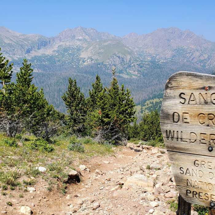
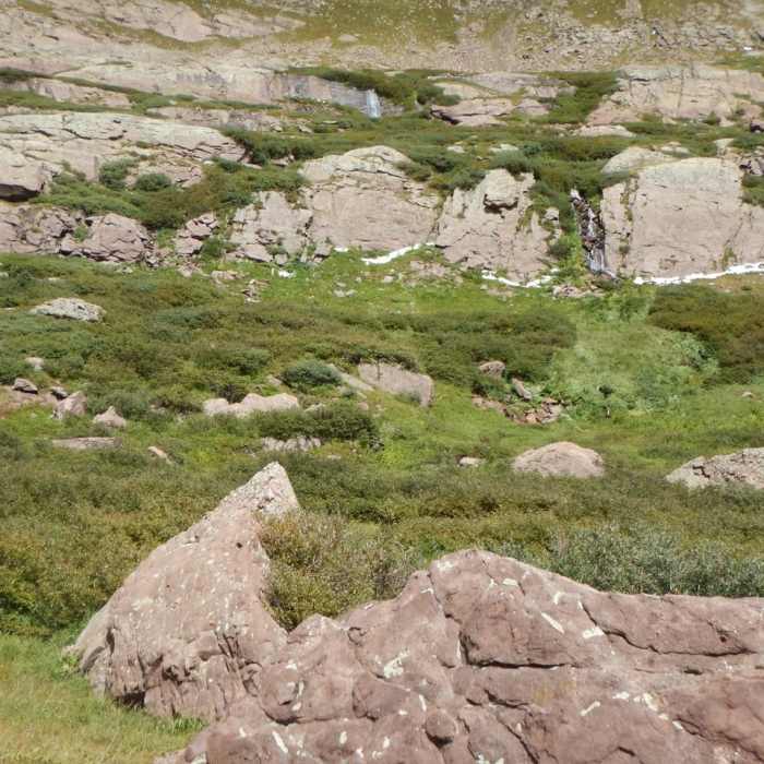
The Music Pass Trail to Upper Sand Creek Lake is an approximately 7.9-mile out-and-back hike located south of Westcliffe, Colorado. The route climbs up and over Music Pass into the scenic Sand Creek Basin, which lies within the northern preserve portion of Great Sand Dunes National Park and Preserve. This high-altitude trek features stunning mountain vistas, forested stretches, and alpine lakes known for excellent fly fishing.
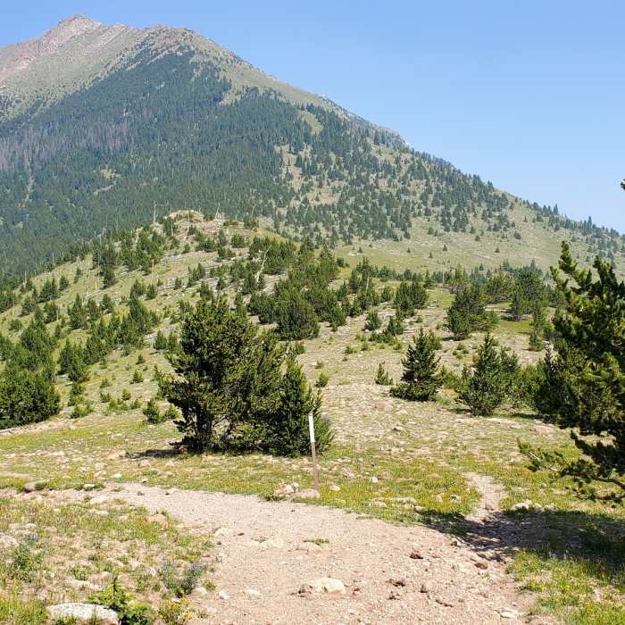
The hike begins with a steady one-mile climb up Music Pass Trail to the summit of Music Pass, ascending through dense forest for the first half-mile before emerging into more exposed terrain. At the top of the pass, a short walk to the west provides expansive views of the Sand Creek Valley and surrounding peaks. From the summit, the trail descends steeply into the basin where footing can be loose.
At the bottom of the descent, the trail meets a junction. Turning right onto the Upper Sand Creek Trail leads towards the lakes. Anglers can fish Sand Creek for hybrid cutthroat trout along this stretch. Continuing another 0.4 miles reaches a second junction; keep right to begin the final climb to Upper Sand Creek Lake. After enjoying the alpine scenery, retrace the route back over Music Pass to the trailhead.
No Condition Reports
Humboldt Peak West Ridge
Humboldt Peak West Ridge
Crestone Needle South Face
Crestone Needle South Face
Crestone Peak South Face
Crestone Peak South Face
South Colony Lakes
South Colony Lakes
Kit Carson Peak East Ridge
Kit Carson Peak East Ridge
Crestone Needle Ellingwood Arete/Ledges
Crestone Needle Ellingwood Arete/Ledges
Contributors

