
Ready to explore this trail?
View Trail Map in AppRegional Classic
A must do route for the area handpicked by local experts.
No permit is required, but climbers must self-register at the trailhead kiosk. The upper 4WD road is impassable in winter; high-clearance 4WD is required beyond the lower 2WD lot.
Path Type
There and Back
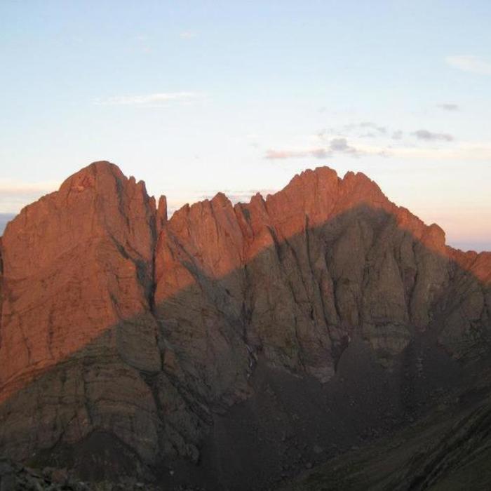
The route begins and ends at the South Colony Lakes trailhead (9,900') and reaches the summit of Crested Peak 14,299'.
From the trailhead, follow South Colony Lakes Route 2.5 miles to a junction, then pass a gate and continue 0.75 miles to 11,400', where the road narrows to trail. Continue north, then bear left near 11,650', before the lower lake, onto the trail for Broken Hand Pass. Climb steep, mostly defined tread south, then west, into rugged terrain below the pass.
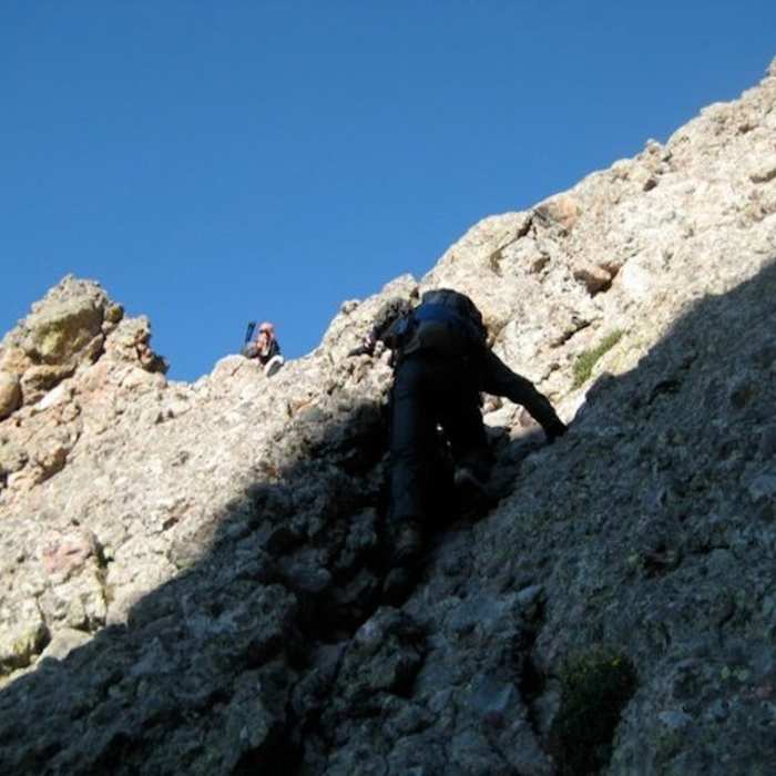
Crux: Near 12,700', hit a narrow Class 3 section left of the main tread. Commit to it directly; staying right instead puts you on loose, rockfall-prone talus. Continue 200 feet to Broken Hand Pass (12,900').
From the pass, descend a steep trail to Cottonwood Lake, losing about 800 vertical feet. Continue west past the lake below Crestone Needle's southwest ridge; Crestone Peak comes into view to the north once past its base. The trail curves right toward the peak's south face on a cairned, grassy slope. Bypass steep rock at the gully's base by staying right to about 12,700', then climb left onto easier rock east of the gully, entering it near 13,100'.
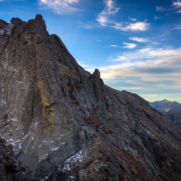
Crux: Climb the gully directly. The main challenge is two steep pitches — 13,000'–13,500' and 13,750' to the notch at 14,100' — the most sustained climbing on the route. Favor the red-stained conglomerate over smoother rock, and switch sides of the gully as needed to find the best holds; watch for rockfall from parties above. Wear a helmet. At the notch, turn left for the final crux — a short, semi-exposed scramble across summit ledges, sometimes harder than the gully below. Angle left rather than straight up, and take a moment to sight your line before committing.
Retrace the route to descend.
No Condition Reports
Humboldt Peak West Ridge
Humboldt Peak West Ridge
Crestone Needle South Face
Crestone Needle South Face
South Colony Lakes
South Colony Lakes
Kit Carson Peak East Ridge
Kit Carson Peak East Ridge
Crestone Needle Ellingwood Arete/Ledges
Crestone Needle Ellingwood Arete/Ledges
Combination Route: Crestones Traverse
Combination Route: Crestones Traverse
Contributors

