
Ready to explore this trail?
View Trail Map in AppRegional Classic
A must do route for the area handpicked by local experts.
No permit is required, but the 4WD road beyond the 2WD lot is very rough — high clearance and true 4WD are strongly recommended. Skipping this stretch adds 5.4 miles round-trip via the 2WD trailhead.
Path Type
There and Back
The route starts and ends at the South Colony Lakes trailhead (4WD lot, 9,950') and reaches Kit Carson Peak's 14,167' summit, returning via the same line. This is not the standard route on Kit Carson — it's a tedious, sustained traverse with real elevation regain, best suited to climbers comfortable with sustained Class 3 exposure and route-finding.
From the trailhead, cross the footbridge and follow the old South Colony Lakes road 2.5 miles to a signed junction; turn right onto the standard Humboldt Peak trail. After about 1.6 miles, exit the trees and pass north of Lower South Colony Lake, then continue toward (hidden) Upper South Colony Lake to a junction above it. Turn right, following the Humboldt trail as it zigzags up a steep slope to a 12,850' saddle just west of Humboldt Peak.
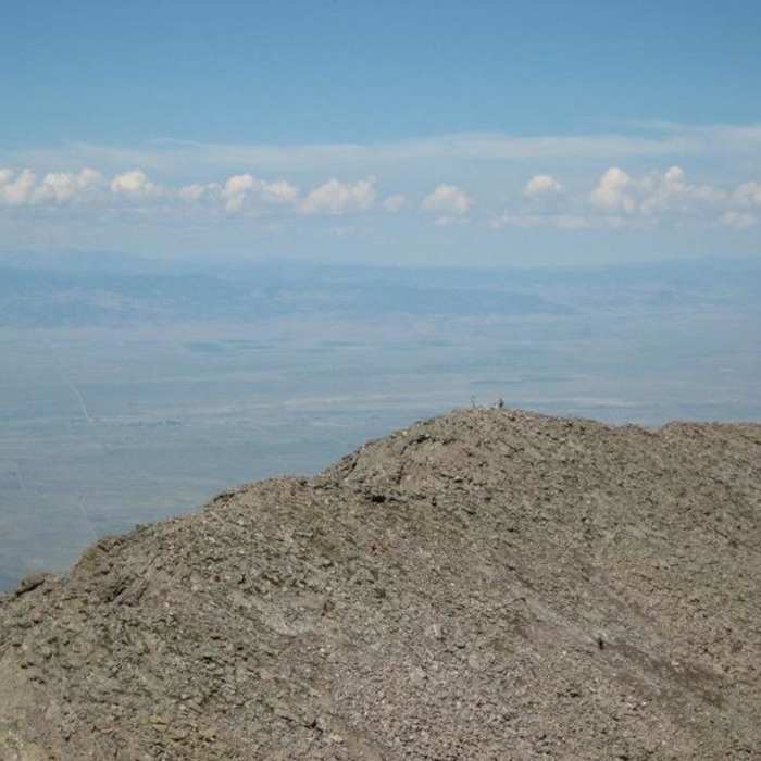
CRUX 1 — Point 13,290': Walk west along the ridge to the base of this point and climb nearly 400 feet up its somewhat-loose ridge to the top, where the remainder of the route becomes visible.
Scramble 0.4 miles along the rugged ridge crest to Bears Playground, a large flat area near 13,100'.
CRUX 2 — Obstruction Peak (13,799'): From Bears Playground, turn right and hike northwest toward this unnamed summit. Avoid the temptation to climb directly up the rocks; instead hike north a few hundred feet before angling northwest to the ridge crest, then turn left to the summit.
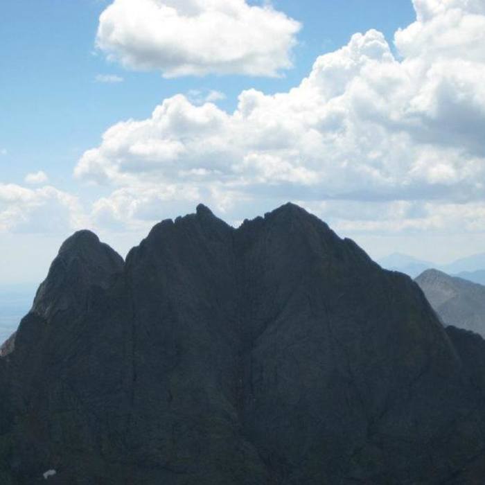
CRUX 3 — Kit Carson / Columbia Point (13,980'): Descend the Class 2/2+ ridge west from Obstruction to the saddle below Kit Carson, then stay near the right side of the bowl on its east face and climb roughly 600 feet of steep Class 2 terrain to the top. Columbia's true summit is 0.1 mile beyond; drop 50 feet on the south side before the short final climb to Columbia.
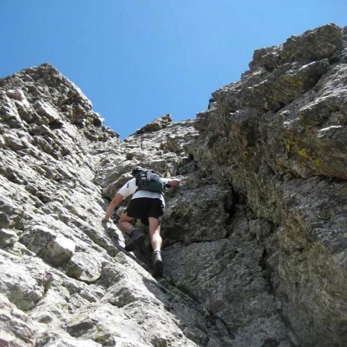
CRUX 4 (major) — Descending Columbia's west side: This is the route's most serious section — assess weather here, since reversing it under a storm is not trivial. From Columbia's summit, descend southwest along a narrowing ridge, watching for cairns. About 100 feet down, before a gendarme, find a small notch, turn right, and drop via Class 3 terrain to a ledge system on Columbia's west face. Follow the ledge west past the first of three gullies (skip it) to a point; climb over it to reach the final point on the ledge. From here, descend the second gully to keep the difficulty at Class 3, exiting via easier rock into the upper Outward Bound (Cole's) Couloir just below the Columbia–Kit Carson notch. A traverse into the third gully is possible for a more direct line but forces unavoidable Class 4 moves — most parties should stick to the second gully.
CRUX 5 — The rock rib: From the 13,700' notch, a rock rib blocks access to Kit Carson's final face. Angle right, climb about 80 feet, and find a Class 3 passage through the rib to reach Kit Carson's standard west-face route.
Climb the west face to the summit ridge, angling left before reaching the crest if preferred, to the true summit. Return via the exact same traverse — including reascending Columbia Point, Obstruction, and Point 13,290' — back to South Colony Lakes.
No Condition Reports
Humboldt Peak West Ridge
Humboldt Peak West Ridge
Crestone Needle South Face
Crestone Needle South Face
Crestone Peak South Face
Crestone Peak South Face
South Colony Lakes
South Colony Lakes
Crestone Needle Ellingwood Arete/Ledges
Crestone Needle Ellingwood Arete/Ledges
Combination Route: Crestones Traverse
Combination Route: Crestones Traverse
Contributors

