
Ready to explore this trail?
View Trail Map in AppThe trail is best used from June through October.
Path Type
There and Back
Starting from the !Cisneros Trailhead across from Spruce and Ponderosa group campgrounds, follow the Cisneros Trail as it makes a steady climb up steep terrain. Eventually, the trail reaches a junction with the Marion Mine Route. Use the Mobile App to make sure you don't miss it! Make a right here and follow this unmaintained route up Amethyst Creek to reach Marion Mine.Along the way, you'll come across a cabin by a creek. That was an old cabin used by someone in the mining era, however as you can see, someone purchased it. It is now in good shape and inhabited. The trail will be pretty steep for most of the hike, but it is well worth it. If you come in the right season, there will be lots of wild raspberries and strawberries growing just off the trail. The trail begins at the !Cisneros Trailhead in Lake Isabel Recreation Area. If you don't feel like camping there are nice cabins at The Pine Lodge (http://www.thepinelodge.net/), and you can get a good bite to eat at the Lodge (not to be confused with the cabins) across the street from San Isabel Lake.
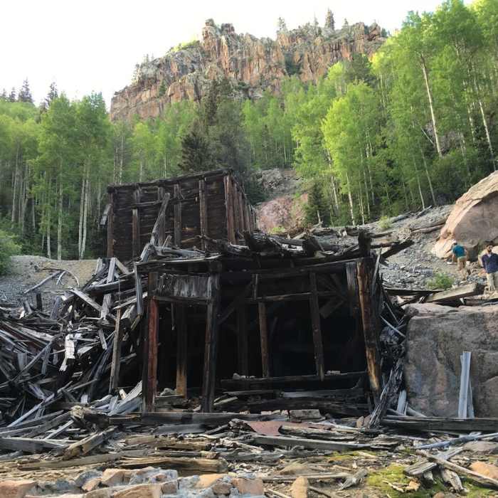
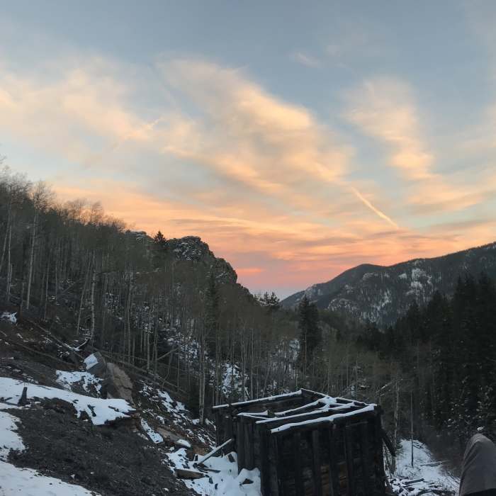
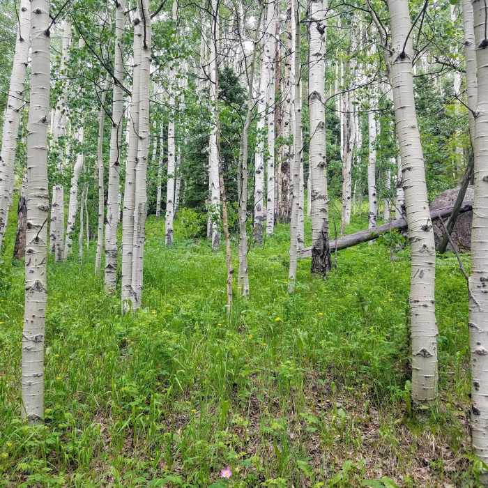
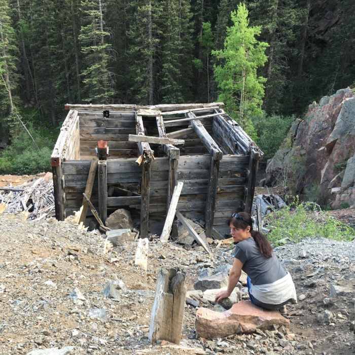
The Marion became operational in 1907. In 1908, George Kindle was hired as mine engineer while his wife ran the boarding house for workers. The ore concentrates were hauled to the smelter at Florence. Three levels were driven out from the tunnel, which went to an inclined depth of 165 feet. More than 2,500 feet of ore was exposed.Unfortunately, the mine was not profitable and in 1915 work at the Marion stopped. The Kindles remained as caretakers for many years. Finally, the property was abandoned and the machinery, pipelines and equipment were sold to the Bernstein Brothers for junk.The mine shaft still stands, with the remains of the log buildings. They stand testament to the determination and skills of many. In this case though, the only gold at the Marion Mine glitters on the aspens in the fall.http://www.greenhornvalleyview.com/index.asp?linkID=63&itemID=5499
All Clear
All Clear
All Clear
Some Issues
Looking for more condition reports?
Music Pass Trail to Upper Sand Creek Lake
Music Pass Trail to Upper Sand Creek Lake
Humboldt Peak East Ridge
Humboldt Peak East Ridge
Humboldt Peak West Ridge
Humboldt Peak West Ridge
Crestone Needle South Face
Crestone Needle South Face
Crestone Peak South Face
Crestone Peak South Face
South Colony Lakes
South Colony Lakes
Contributors

