Ready to explore this trail?
View Trail Map in AppRegional Classic
A must do route for the area handpicked by local experts.
Winter access is poor, as the road is generally closed low on Forest Road 535, miles below the trailhead.
No permit required. The route enters the Lizard Head Wilderness, and the wilderness regulations apply.
Path Type
There and Back
The route begins and ends from the Kilpacker basin trailhead (10,100') and reaches the summit of El Diente Peak at 14,165'.
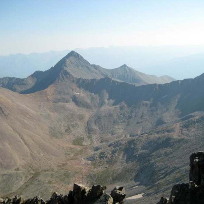
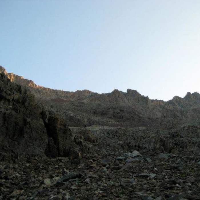
From the trailhead, hike west through meadows and forest, heading northwest then north for 2.25 miles to a junction near 10,300'. Turn right, cross Kilpacker Creek after half a mile, and climb through a scenic meadow into the upper basin on excellent trail. Exit the trees and traverse talus fields below El Diente's west ridge; near 12,200', pass a headwall and rock pile, staying left through unrelenting talus to the indistinct, cairned turn-off at 12,600'.
Crux: El Diente turn-off is unmarked and easy to miss — mark it on the way up.
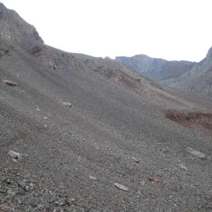
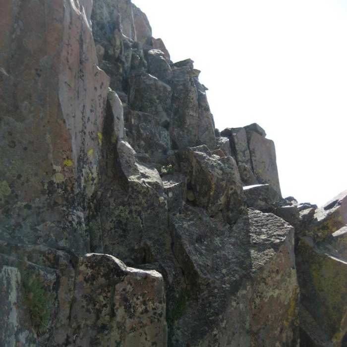
Follow loose trail between rock outcroppings, pass a large rock on its left side, and angle toward a gray talus field near 13,200'. Climb toward the cliffs ahead, then turn left before reaching them to traverse west beneath the cliffs to the base of a red rock rib near 13,500'. Identify the "Organ Pipes" above, climb gray talus to a gray gully at 13,600', and climb it to easier terrain just below the Pipes. Turn left, scramble through a chimney-like passage, work around jumbled rock, cross a ledge over angled rock, and climb a short, loose gully to a 13,950' notch.
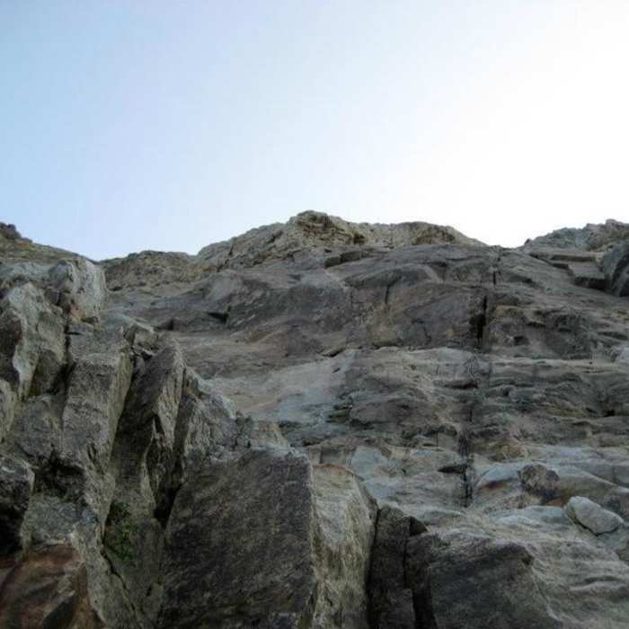
Follow a cairned route across the north side to a second notch, then climb the final pitch — angled rock beside a dirt gully, a short traverse right near its top, then left to the 14,165' summit.
Retrace the route to the trailhead.
No Condition Reports
Wilson Group
Wilson Group
Mount Wilson Southwest Slopes
Mount Wilson Southwest Slopes
Mount Wilson North Slopes
Mount Wilson North Slopes
Cross Mountain Trail
Cross Mountain Trail
Cross Mountain Summit Route
Cross Mountain Summit Route
Wilson Peak Southwest Ridge
Wilson Peak Southwest Ridge
Contributors

