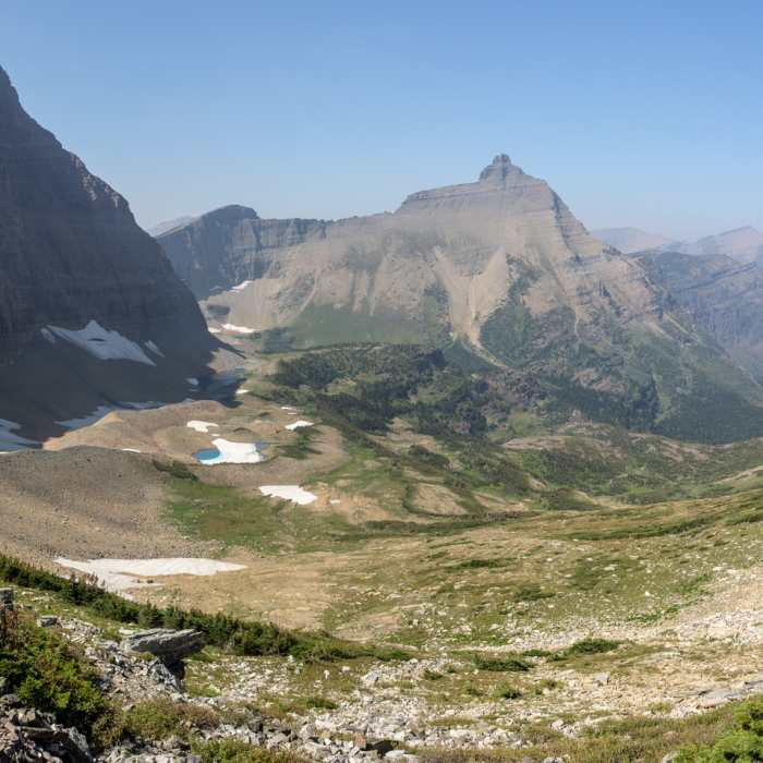
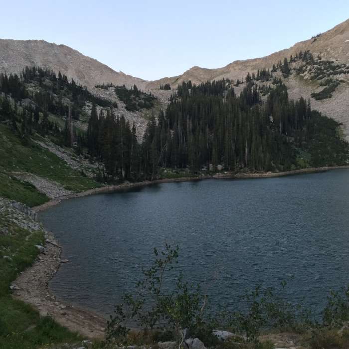
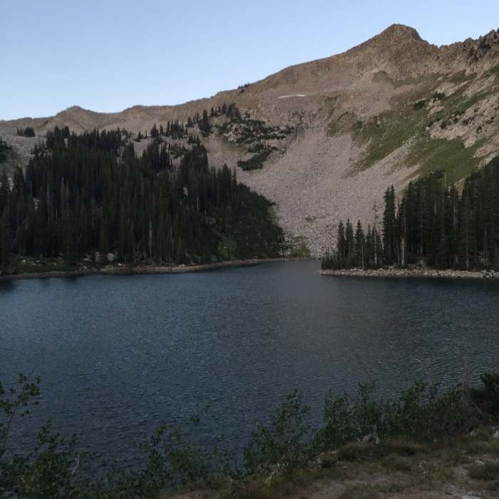
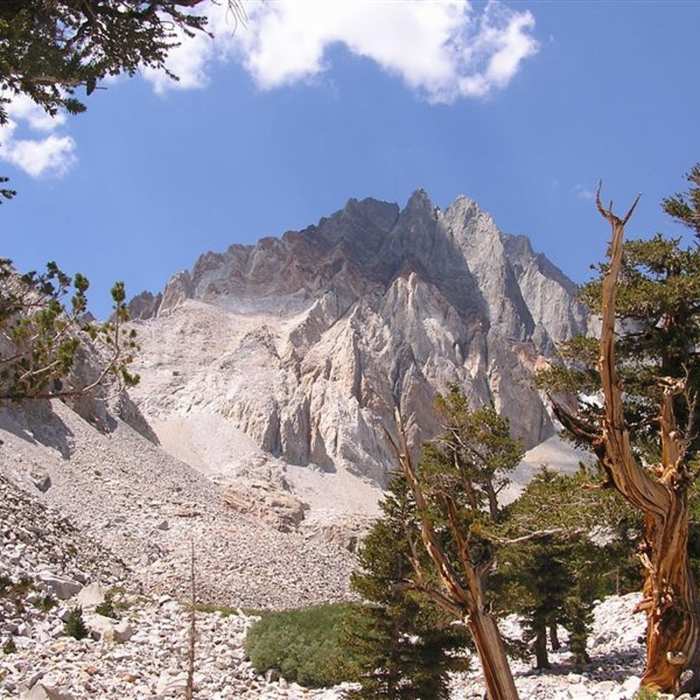
Ready to explore this trail?
View Trail Map in AppRegional Classic
A must do route for the area handpicked by local experts.
*****The Red Lake Trail and trailhead are currently closed under an active Forest Order (Rock Fire Area Closure, in effect through December 31, 2026) — confirm current status before relying on this route. ***** Under normal conditions, no permit is required for day hikes; overnight trips need a wilderness permit.
Path Type
There and Back
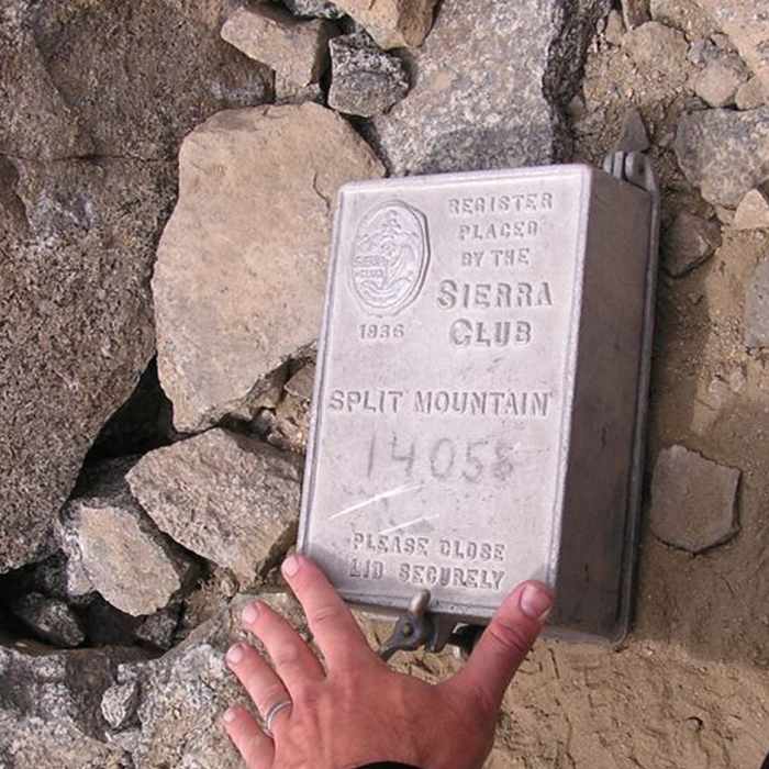
The route starts and ends at the Red Lake trailhead, north of Big Pine, and reaches the summit of Split Mountain.
From the trailhead, follow the primitive Red Lake Trail along Red Mountain Creek for 6 miles and 4,000 vertical feet to Red Lake; the trail is steep, unmaintained, and easy to lose in places, so carry a topographic map and expect to route-find.
From Red Lake, leave the trail and head northwest, following the lake's inlet creek up through talus, scree, and patches of grass — cairns and faint use trails mark the way, but this section requires route-finding. Stay to climber's right (east) of a band of reddish cliffs that guards the ridge above, rather than trying to climb through them directly. This talus slope climbs toward an obvious notch in the ridge connecting Split Mountain to Mount Prater; the final approach to the notch crosses Class 3 rubble and loose talus.
At the notch, turn south onto the Sierra Crest itself and follow it toward the summit — about 3,500 vertical feet above Red Lake in total. The crest here is a broad talus slope, wide and easy to walk despite a steep drop-off on its west side; the west face below is a maze of spires and gullies that's best avoided entirely by staying on the crest.
Crux: Near the top, the route funnels into a steep, loose chute. Its upper section approaches a 70-degree incline in spots and can feel closer to a moderate Class 3 than the Class 2 rating suggests; climb it by holding onto the rock lining the sides of the chute rather than trusting the loose scree underfoot. Above the chute, easier ground leads to the summit ridge and a short final push south to the true summit.
Retrace the same route to descend. On the way down, staying too far toward the center of the upper slope leads into a cliffy chasm; stay left to rejoin the line back toward the John Muir Trail side, or right to return directly to Red Lake.
No Condition Reports
First Falls Day Hike
First Falls Day Hike
Big Pine Lakes Loop
Big Pine Lakes Loop
Mount Sill via Glacier Notch and North Couloir
Mount Sill via Glacier Notch and North Couloir
Middle Palisade East Chute
Middle Palisade East Chute
Glacier Lodge to Palisade Glacier
Glacier Lodge to Palisade Glacier
Finger Lake via Big Pine Creek South Fork Trail
Finger Lake via Big Pine Creek South Fork Trail
Contributors

