



Ready to explore this trail?
View Trail Map in AppRegional Classic
A must do route for the area handpicked by local experts.
Day hiking does not require a permit. Wilderness permits are required year-round for all overnight stays in the John Muir Wilderness. From May 1 through November 1, overnight permits are restricted by a daily quota and must be reserved in advance through Recreation.gov under the Big Pine Creek North Fork zone. Overnight visitors must park in the designated backpacker parking lot located approximately 0.5 miles before the trailhead at Glacier Lodge. Day-use parking is available closer to the trailhead but is strictly restricted to single-day visitors. Approved hard-sided bear-resistant food canisters are mandatory for overnight food storage.
Path Type
Loop
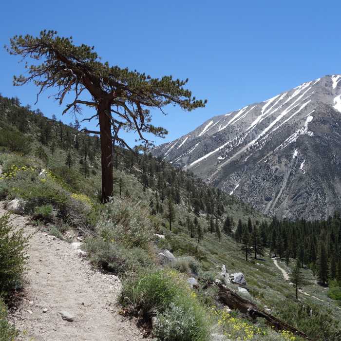
The Big Pine Lakes trail offers a classic Sierra Nevada experience, starting at the Glacier Lodge and Big Pine Creek Trailhead at approximately 7,725 feet. The route climbs steadily along the North Fork of Big Pine Creek, leading hikers into a dramatic alpine basin characterized by striking granite peaks, dense pine forests, and a series of brilliant, glacial-fed turquoise lakes situated beneath the towering Palisade crest.
After ascending just over 4 miles through the canyon, the trail reaches a junction with the Black Lakes Trail. Turning right onto this trail initiates a scenic loop that passes the dark waters of Black Lake before reaching Fourth and Fifth Lakes. From this upper basin, hikers can make an optional side trip further north to Sixth and Seventh Lakes. The main loop continues south and east along the North Fork Big Pine Creek Trail, descending past the spectacular Third, Second, and First Lakes, where the vibrant turquoise hues created by glacial flour are on full display. The loop concludes at the Black Lake Trail junction, where hikers retrace their steps back down the canyon to the trailhead.
No Condition Reports
First Falls Day Hike
First Falls Day Hike
Mount Sill via Glacier Notch and North Couloir
Mount Sill via Glacier Notch and North Couloir
Middle Palisade East Chute
Middle Palisade East Chute
Glacier Lodge to Palisade Glacier
Glacier Lodge to Palisade Glacier
Finger Lake via Big Pine Creek South Fork Trail
Finger Lake via Big Pine Creek South Fork Trail
Split Mountain (Red Lake / North Slope)
Split Mountain (Red Lake / North Slope)
Contributors

