Ready to explore this trail?
View Trail Map in AppRegional Classic
A must do route for the area handpicked by local experts.
A Whitney Zone quota permit is required for this entire route (lottery February 1–March 15 via recreation.gov); bear canisters are mandatory for overnight camping.
Path Type
Loop
This route begins and ends at the Whitney Portal trailhead, reaches both the summits of Mount Russel and Mount Whitney.
From the trailhead (8,360'), follow the Whitney Trail briefly, then branch onto the North Fork of Lone Pine Creek use trail. Climb through willows to the Ebersbacher Ledges — a Class 2+ ledge system that bypasses several waterfalls and is the first navigational crux of the day — then continue past Lower Boy Scout Lake to Upper Boy Scout Lake (11,300', ~3 miles). Leave the Mountaineer's Route here and climb Mount Carillon's steep, sandy south-facing slopes (roughly 2,000 vertical feet of loose talus) to the Russell-Carillon Col (13,260').
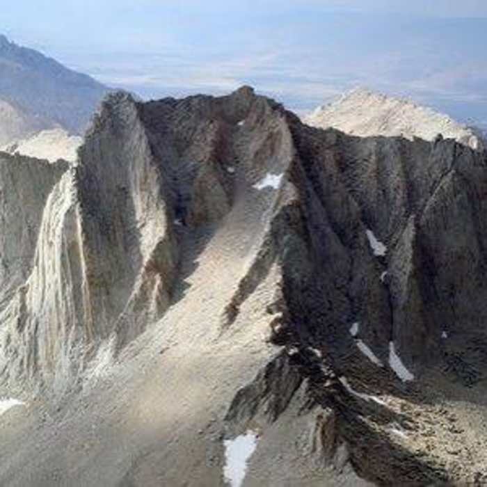
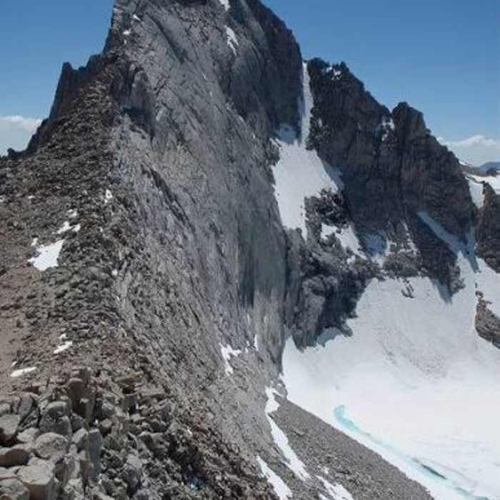
Crux 1: Mount Russell's East Ridge (Class 3, sustained): the ridge is narrow and consistently exposed, with over 1,000 vertical feet of air off each shoulder for much of its length; guidebooks rate it Class 3, but the exposure and sustained nature make it feel harder. A talus spine and an exposed slab traverse lead to a crux section near the top where the ridge narrows to a two-to-three-foot-wide block.
Crux 2: the summit ridge traverse: Russell has two summits; from the lower east summit, a short, severely exposed ridge traverse leads to the true, higher west summit (14,088'). A troublesome block partway across can be bypassed via ledges on the north face.
Crux 3: the South Face Right Side downclimb: reverse the summit traverse to the saddle below the east summit, then downclimb the South Face — a Class 3-4, 60–90' near-vertical headwall or chimney that climbs firmly harder than the East Ridge — onto a large talus field. Most parties solo this section, but climbers not comfortable soloing exposed, unprotected terrain at this level should carry a rope, harness, and a small rack to protect or rappel it. From there, traverse to Iceberg Col (not the more obvious notch directly between Russell and Whitney, which cliffs out) and descend to Iceberg Lake (12,700').
Crux 4: the Mountaineer's Route to Whitney's summit: from Iceberg Lake, climb the obvious westward gully (Class 2 when dry, loose rock and sand) to a deep notch in Whitney's north ridge. From the notch, either traverse exposed Class 3 ledges west or climb the steep gully directly above — both options are roughly equal in difficulty and dangerous if icy — to reach Whitney's summit plateau. Walk east to the true summit (14,505').
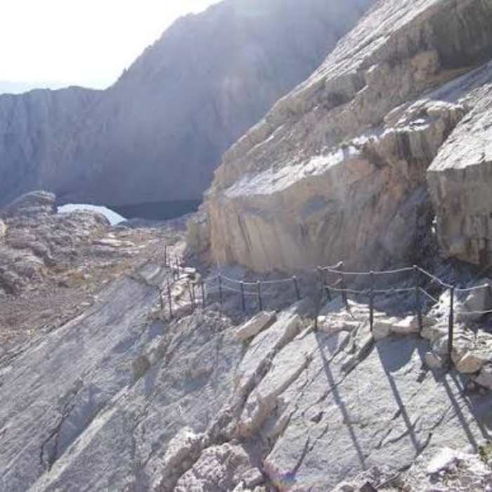
Descend via the standard Whitney Trail: south from the summit plateau to Trail Crest (around 13,650'), then down the 97 switchbacks to Trail Camp (12,000', 6.3 miles from Whitney Portal), passing Trailside Meadow and Outpost Camp on the way back to Whitney Portal.
No Condition Reports
Mount Whitney via Mount Whitney Trail
Mount Whitney via Mount Whitney Trail
Mount Whitney via Mountaineer's Route
Mount Whitney via Mountaineer's Route
Mount Muir via Mount Whitney Trail
Mount Muir via Mount Whitney Trail
Mount Russel East Ridge
Mount Russel East Ridge
Lone Pine Lake
Lone Pine Lake
Meysan Lake Trail
Meysan Lake Trail
Contributors

