Ready to explore this trail?
View Trail Map in AppRegional Classic
A must do route for the area handpicked by local experts.
A Mount Whitney Zone permit is required year-round for all day-use and overnight entry. Quota season runs from May 1 - November 1. Permits are distributed via an online lottery on recreation.gov from February 1 through March 15, with any remaining slots released on a first-come basis on April 22.
Path Type
There and Back
The route begins and ends at the Whitney Portal Trailhead, after reaching the summit of Mount Muir at 14,018'.
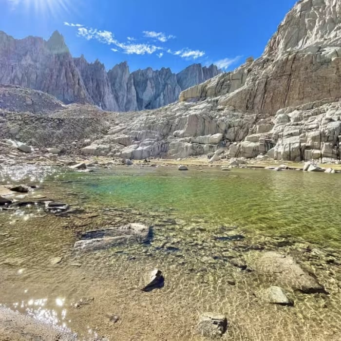
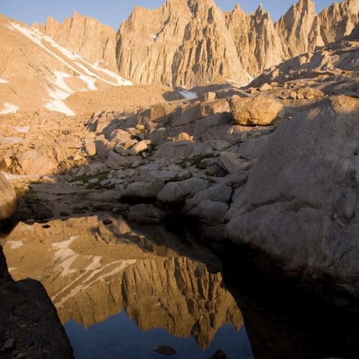
Start north on the Mount Whitney Trail, climbing steadily through pine forest along Lone Pine Creek. At 0.8 miles, keep left at the North Fork Lone Pine Creek Trail. At 2.9 miles, pass the junction for Lone Pine Lake on the left. Continue straight, passing Outpost Camp at 3.8 miles and Mirror Lake shortly after, at 4.3 miles.
Continue ascending to Trail Camp at 6.1 miles. From Trail Camp, ascend the 99 switchbacks, gaining approximately 1,600 vertical feet to Trail Crest at 8.4 miles and approximately 13,600 feet. Continue straight, bypassing the Mount Whitney Chute on the right. Turn right at 8.6 miles onto the Mount Whitney Trail.
Follow the trail along the west side of the ridge for 0.5 miles to the base of Mount Muir’s west face at 9.1 miles. Leave the main trail to scramble approximately 150 vertical feet up a steep, loose Class 3 chute and blocks to reach the summit.
Crux: The Class 3 summit block, reached by leaving the Whitney Trail on loose sand and scree just north of the John Muir Trail junction at Trail Crest. The start is unmarked — look for signs of cross-country travel heading toward the high point on the ridge. The lower portion of the block is Class 2 over boulders, transitioning to several Class 3 moves near the top. Route-finding matters: the correct line keeps the climbing at Class 3, but going off route can push the difficulty higher. The true summit is reached via a short chimney on the backside of the summit block. Loose rock is present throughout; move deliberately.
Retrace your steps back down the scramble and follow the Mount Whitney Trail back to Whitney Portal.
No Condition Reports
Mount Whitney via Mount Whitney Trail
Mount Whitney via Mount Whitney Trail
Mount Whitney via Mountaineer's Route
Mount Whitney via Mountaineer's Route
Mount Russel East Ridge
Mount Russel East Ridge
Mount Russel to Mount Whitney Traverse
Mount Russel to Mount Whitney Traverse
Lone Pine Lake
Lone Pine Lake
Meysan Lake Trail
Meysan Lake Trail
Contributors

