
Ready to explore this trail?
View Trail Map in AppRegional Classic
A must do route for the area handpicked by local experts.
Overnight camping requires a wilderness permit with a seasonal quota for the Mount Whitney Trail zone, issued by lottery on recreation.gov; day hikes need no permit.
Path Type
There and Back
The route starts and ends at Whitney Portal, west of Lone Pine, and reaches the summit of Mount Russell, about 4.1 miles and roughly 5,700 vertical feet away.
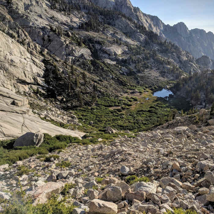
From the trailhead, follow the Whitney Trail for less than a mile, then leave it and turn right (north) up the steep North Fork of Lone Pine Creek. Traverse the exposed Ebersbacher Ledges above the creek — the first section requiring careful footing — then drop into Lower Boy Scout Lake at 10,335 feet and continue to Upper Boy Scout Lake at 11,200 feet, about 3 miles in.
Beyond Upper Boy Scout Lake, climb a relentless 2,000 vertical feet of loose, sandy slope north to the high plateau between Mount Russell and Mount Carillon — this section has no real tread and requires route-finding. From the plateau, gain Russell's East Ridge and follow it west: the climbing here is sustained Class 3 to easy Class 4, with a knife-edge character and drops of more than a thousand feet off each side.
Crux: Roughly halfway between the ridge's east and true summits you'll reach a short Class 3 mantle move that can't easily be bypassed on the right. Pull through it using the positive edge above rather than muscling straight up the blank rock below. If that move feels like too much, an alternative is to drop down and north off the crest onto Russell's north face and traverse a ledge system below the problematic block, rejoining the ridge once you're past it — slower, but it avoids the hardest single move.
Beyond the crux, the ridge relents into more straightforward ledges and blocky scrambling for the remaining distance to the true summit — a comparatively easy finish after the exposure of the traverse.
Retrace the same route to descend, reversing the ridge and the sandy slope with extra care, since both are more awkward heading down than up.
No Condition Reports
Mount Whitney via Mount Whitney Trail
Mount Whitney via Mount Whitney Trail
Mount Whitney via Mountaineer's Route
Mount Whitney via Mountaineer's Route
Mount Muir via Mount Whitney Trail
Mount Muir via Mount Whitney Trail
Mount Russel to Mount Whitney Traverse
Mount Russel to Mount Whitney Traverse
Lone Pine Lake
Lone Pine Lake
Meysan Lake Trail
Meysan Lake Trail
Contributors

