


Ready to explore this trail?
View Trail Map in AppDay hiking to Lone Pine Lake does not require a permit, as the lake lies just outside the Mount Whitney Zone boundary. However, a Mt. Whitney Zone permit is required for any day travel beyond the lake or for overnight camping at Lone Pine Lake.
Parking is available at the Whitney Portal trailhead, but spaces fill up very quickly during the peak summer and fall seasons. All food, trash, and scented items must be stored in the bear-proof lockers provided at the trailhead, as bears are highly active in the area; storing these items in vehicles is strictly prohibited.
Whitney Portal Road is subject to seasonal closure during the winter and spring due to snow, typically from late November through April or May.
Path Type
There and Back
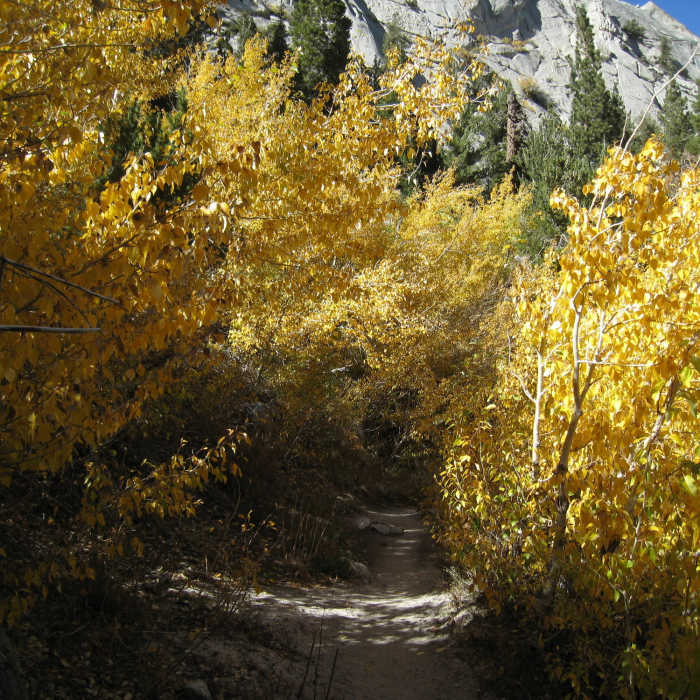
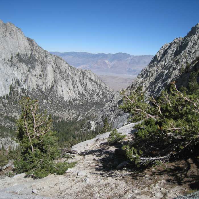
Starting at the Whitney Portal trailhead, this 6-mile round-trip hike climbs 1,800 feet along the Mount Whitney Trail to Lone Pine Lake. The trail begins at 8,336 feet and ascends steadily through Lone Pine Creek canyon, offering expansive views of Owens Valley and the surrounding granite peaks. After an initial stream crossing, the trail ascends a series of forested switchbacks.
Above the switchbacks, the path levels out near a seasonal cascading waterfall and crosses a log bridge over Lone Pine Creek. At approximately 2.8 miles, a signed junction on the left marks the short spur trail leading down to Lone Pine Lake. Situated at 10,053 feet, the subalpine lake is nestled directly beneath the towering Eastern Sierra cliffs.
No Condition Reports
Mount Whitney via Mount Whitney Trail
Mount Whitney via Mount Whitney Trail
Mount Whitney via Mountaineer's Route
Mount Whitney via Mountaineer's Route
Mount Muir via Mount Whitney Trail
Mount Muir via Mount Whitney Trail
Mount Russel East Ridge
Mount Russel East Ridge
Mount Russel to Mount Whitney Traverse
Mount Russel to Mount Whitney Traverse
Meysan Lake Trail
Meysan Lake Trail
Contributors

