Trail Overview
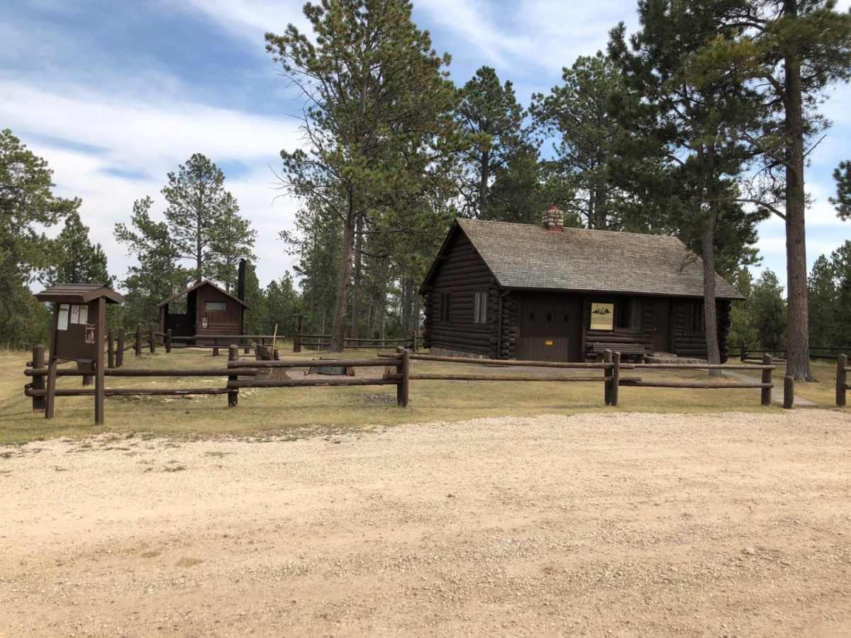
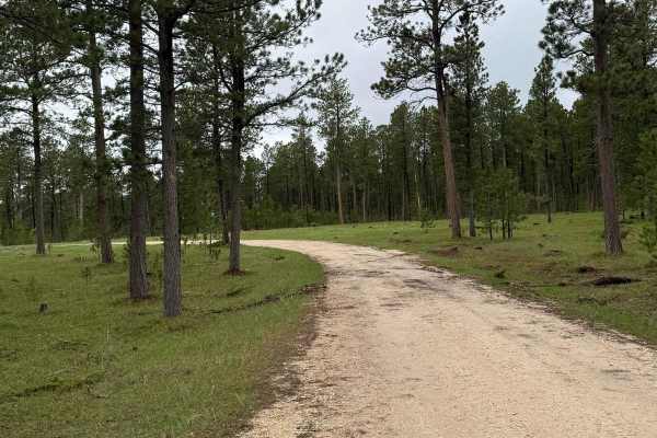
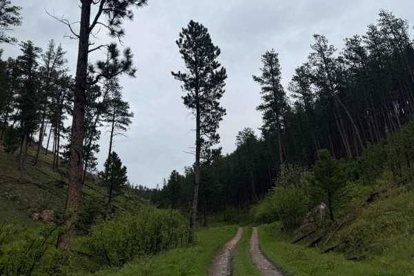
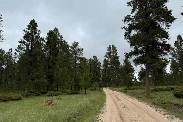
Summit Road (FS 265) is an easy, 3.6-mile gravel route leading from Boles Canyon Road to the historic Summit Ridge Lookout Cabin on the Wyoming-South Dakota border.
History
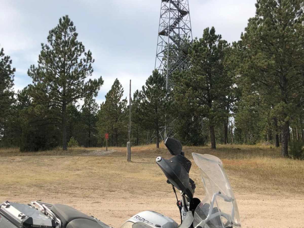
The Summit Ridge Cabin was constructed in 1934 by the Civilian Conservation Corps (CCC). Originally used as a ranger station and later by fire lookouts to monitor the surrounding Black Hills National Forest, the historic structure now serves as a rental cabin and a cherished local landmark.
Access Description
The Summit Ridge Lookout Cabin is available for public lodging reservations through Recreation.gov. The road is managed by the U.S. Forest Service within the Newcastle Ranger District of the Black Hills National Forest, and is subject to seasonal closures depending on winter snow accumulation. No permits or fees are required to drive the road, but standard forest regulations apply.