Trail Overview
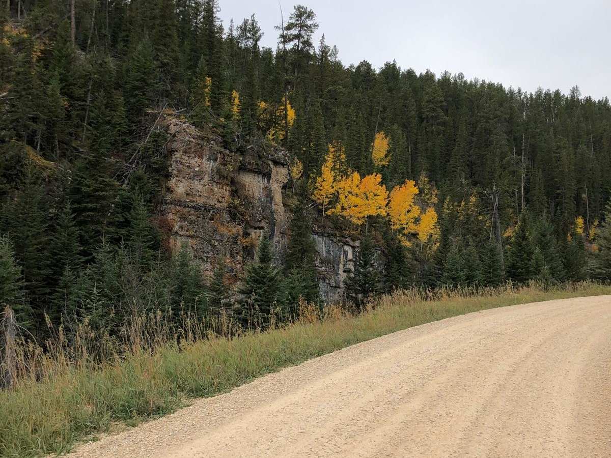
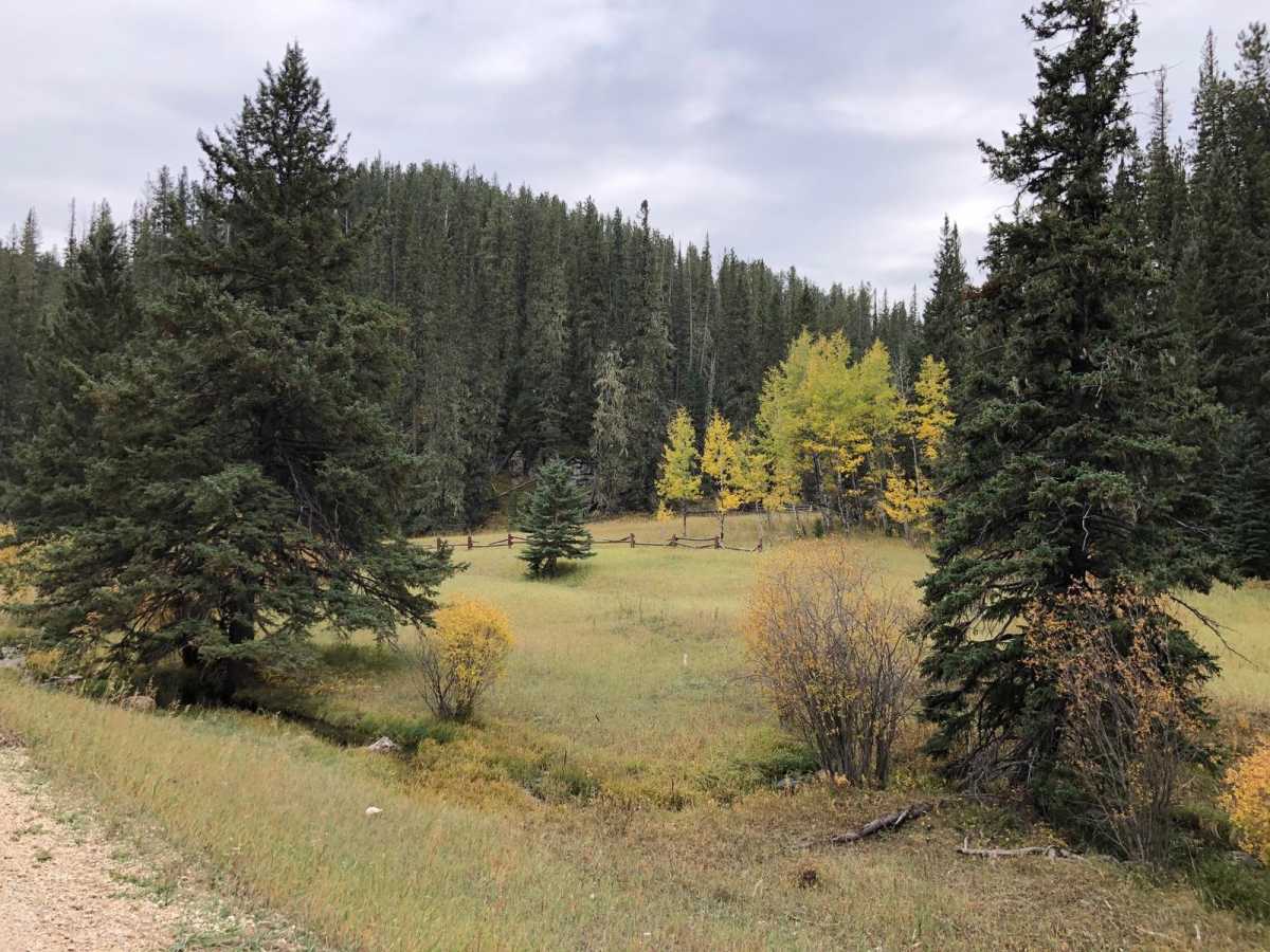
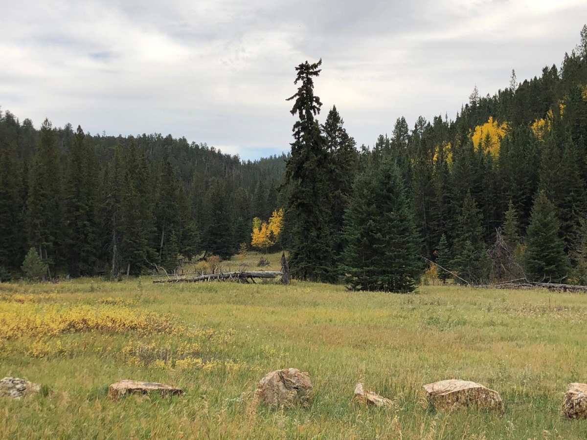
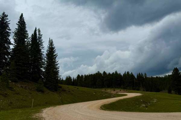
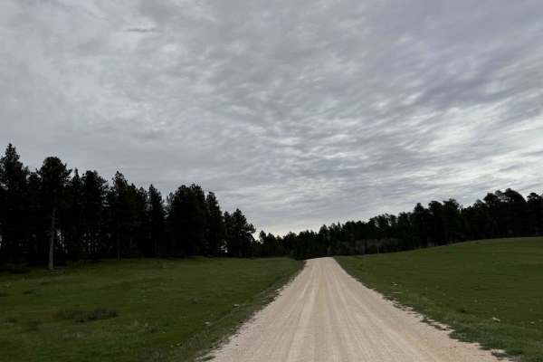
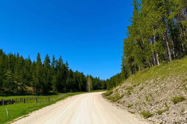
Beaver Creek Road (FS 111) is an easy, scenic gravel route through the Black Hills National Forest, making it an excellent option for scenic drivers, campers, and overlanders seeking a peaceful mountain escape. Spanning approximately 5.6 miles across the Wyoming and South Dakota border, this well-maintained but narrow road offers beautiful forest vistas and connects travelers to pristine remote recreation areas. Drivers will navigate gentle grades with elevations ranging from 6,024 to 6,532 feet, passing through stands of ponderosa pine and scenic open meadows. The route requires no technical off-road driving skills and is accessible to most high-clearance vehicles, serving as a scenic connector between eastern Wyoming and western South Dakota.
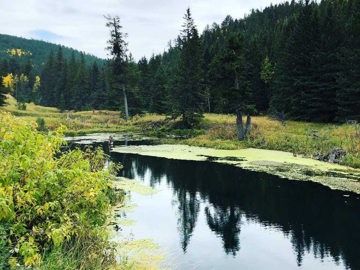
Along the drive, travelers can stop at the Beaver Creek Campground, right next to the creek. The road also provides easy access to nearby trails and points of interest, including Crows Nest Peak and the expansive trail networks of the Hell Canyon Ranger District. While the gravel surface is generally well-graded, the road does narrow significantly in several places, requiring drivers to stay alert for oncoming traffic and utilize available pullouts. The road is typically open from late spring through fall.

 Offroad