Trail Overview
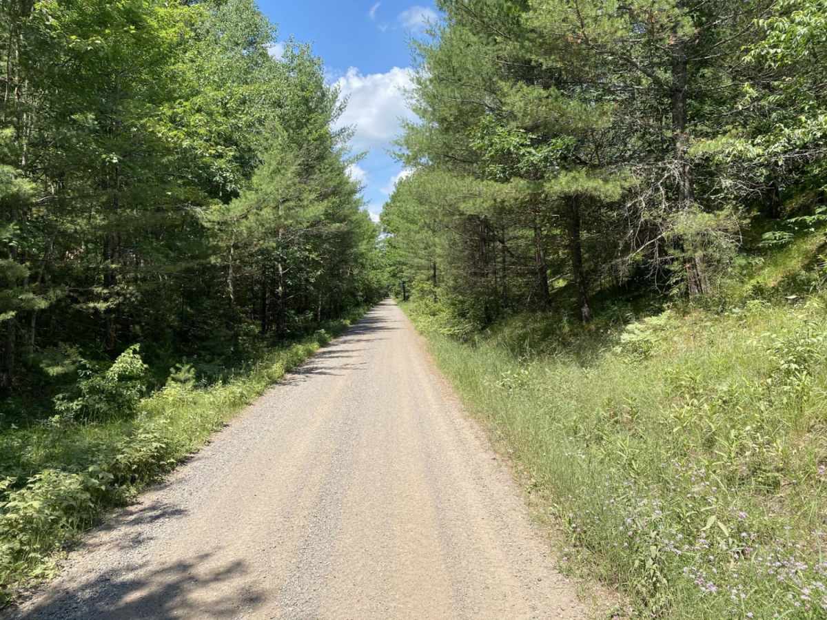
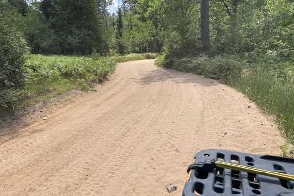
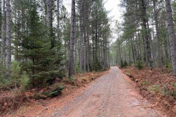
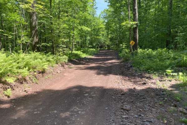
The Stateline Route is a scenic, 13.7-mile trail following a historic railroad bed along Wisconsin's northern border. Connecting Florence, Spread Eagle, and Iron Mountain, this flat dirt and gravel route is ideal for stock 4x4s, ATVs, UTVs, and dual-sport motorcycles. With a technical rating of 1, the trail has no sharp turns, steep climbs, or major obstacles.
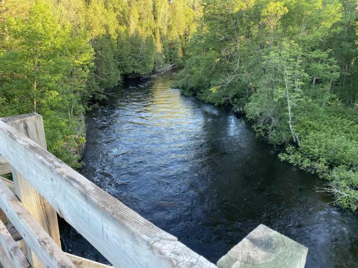
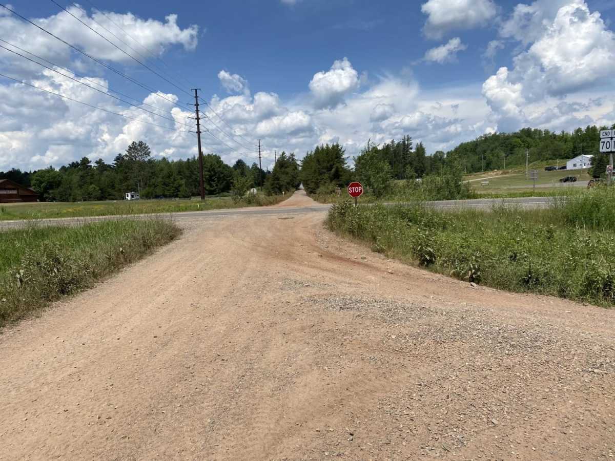
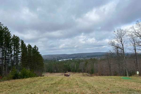
The route traverses northern woodlands and wetlands, ending near the Menominee River at the Michigan-Wisconsin border. Riders can easily access local services in Florence and Commonwealth, making it a great option for a leisurely day trip or a connector to other regional trail systems.
History
The Stateline Route follows a former corridor of the Chicago and North Western Railway, which was once crucial for transporting iron ore and timber from northern Wisconsin and Michigan's Upper Peninsula. After the rail line was abandoned, the corridor was repurposed into a multi-use recreational trail.
Access Description
The trail is open to ATVs, UTVs, off-road motorcycles, and highway-legal vehicles. Non-residents must display a Wisconsin trail pass on all off-highway vehicles (OHVs). The trail is generally open from late spring through late autumn, but may close seasonally during the spring thaw or when groomed for winter snowmobile use. All vehicles must comply with Wisconsin noise limits.

 Offroad