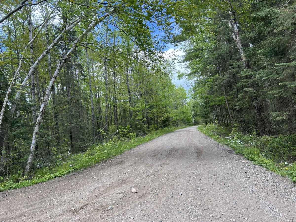
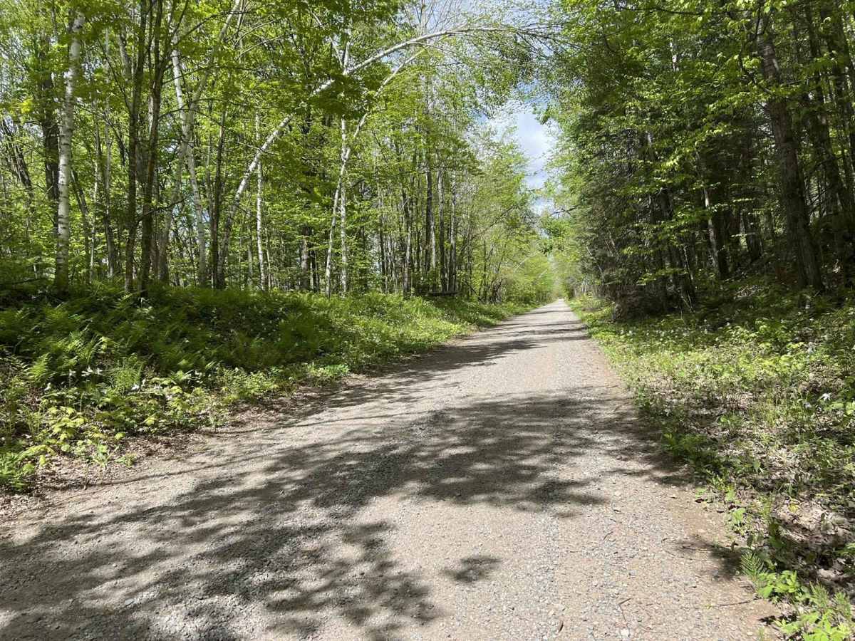
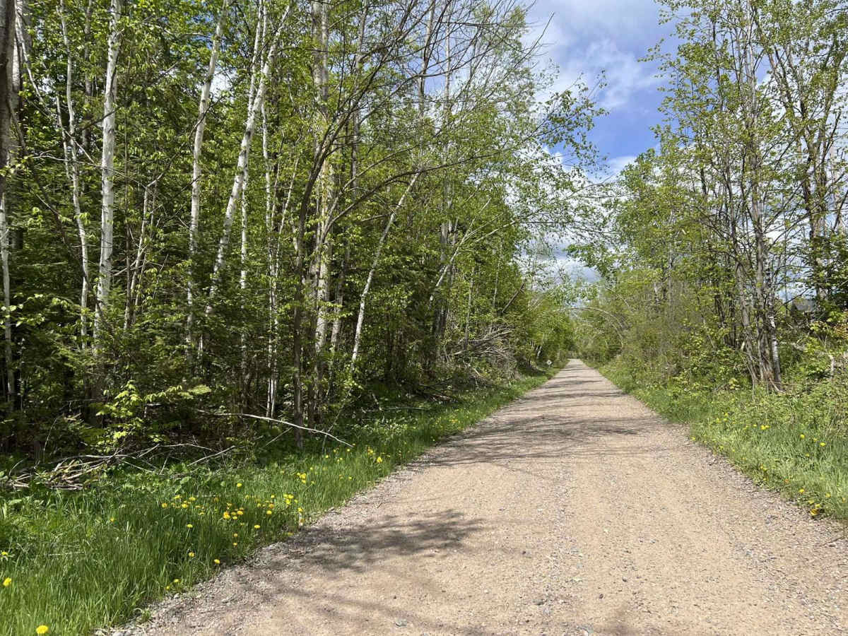
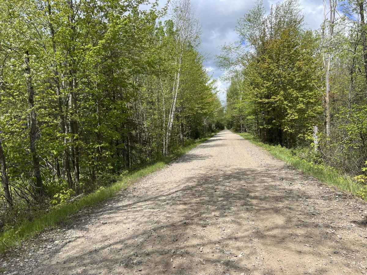
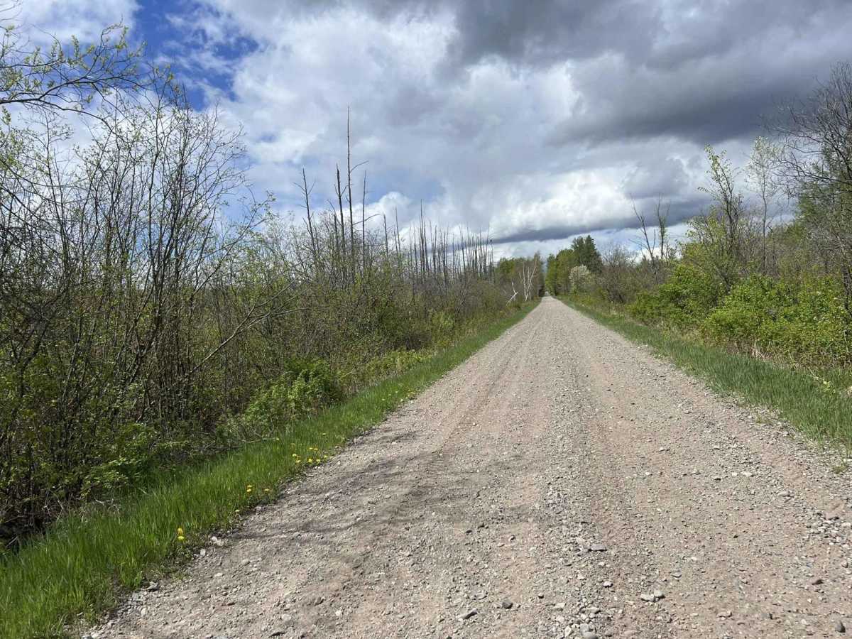
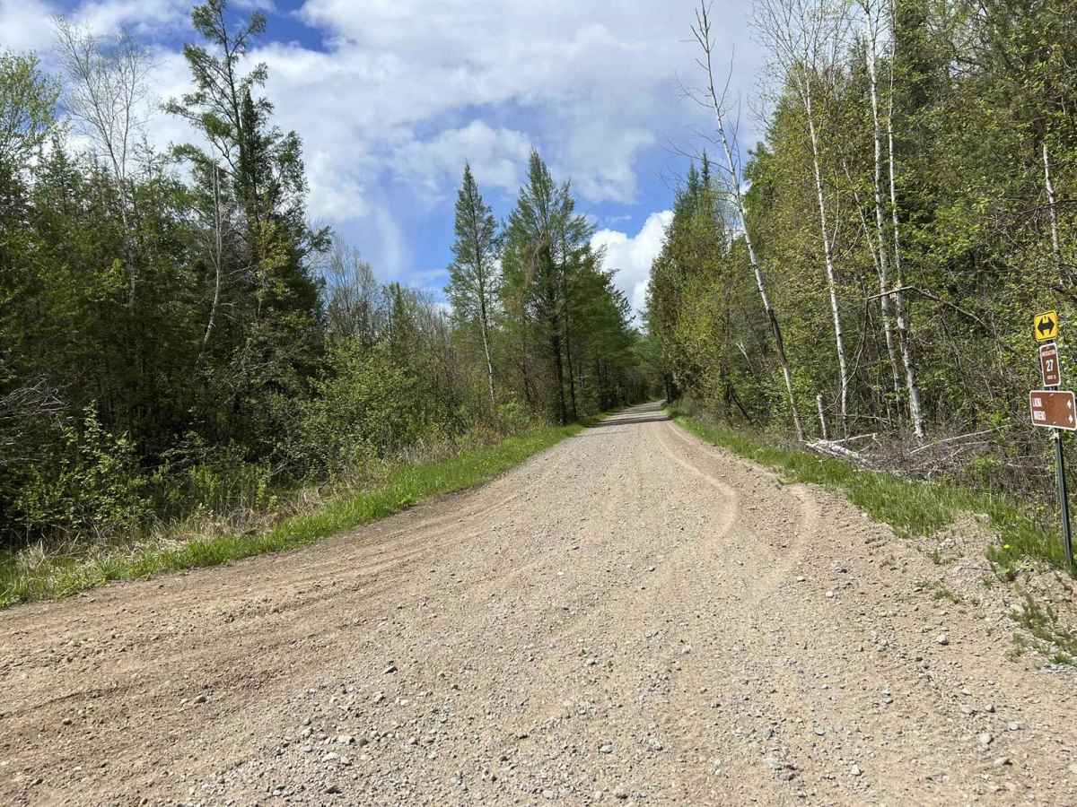
Trail Overview
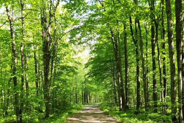
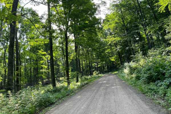
This is the Nicolet State Trail. This portion of the trail runs from Padus through the town of Laona, ending in the town of Newald. This trail is an excellent way to cover ground in the northwoods quickly;additionally, it provides quick and easy access to numerous trail systems in the area. The trail is surrounded by mature forests for its entire length, except for when it travels through towns. There are several creeks/ rivers that are crossed along this trail. The bridges that cross these creeks and rivers are narrow and only allow for machines to pass from one direction at a time. The entire trail surface is loose gravel;however, there are a few low spots that will fill with small amounts of water after a recent rain. The entire section of trail that is in the town of Laona is speed restricted to 10 MPH for dust and noise control.
Difficulty
This trail can be easily completed by riders of all skill levels. Sight lines along this trail are excellent, and it is wide enough for machines to pass each other in most areas. The bridges along this trail are not wide enough for traffic to pass in both directions; however, there is room to pull off to the side before the bridges. This trail can experience heavy traffic on the weekends, and after dry periods, can become excessively dusty.