F15 Trail

Total Miles25
Technical Rating
2Easy
Best TimeSpring, Summer, Fall
Trail Type60" Trail
Accessible By
Open Trail Map

Trail Overview

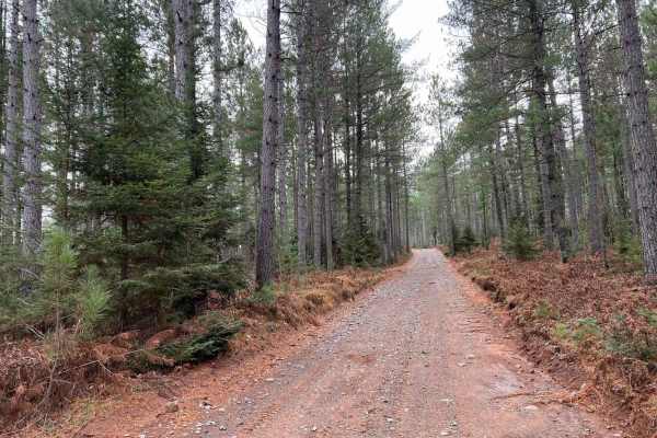
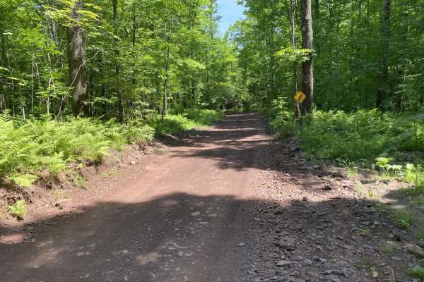
The F15 Trail is an ideal route offroaders and scenic cruisers looking to explore northeastern Wisconsin's dense forests along an easy, scenic path. Stretching approximately 25 miles between the towns of Florence and Dunbar, this trail winds through lush woodlands and periodically transitions onto forest roads. The terrain features a mostly unpaved surface comprised of sand and rock, offering a gentle yet engaging drive. With a maximum elevation of 1,382 feet and a cumulative elevation gain of 878 feet, the route provides a relaxed journey with minimal technical difficulty. Rated a 2 out of 10 for technical difficulty, the trail is highly accessible and generally does not require four-wheel drive in dry conditions. The northern terminus of the trail places travelers near the town of Florence, while the southern end exits near Dunbar, providing convenient access to fuel, supplies, and local dining. This route serves as a practical connector or a standalone day trip for ATVs, UTVs, and high-clearance vehicles seeking a peaceful drive through the Northwoods.

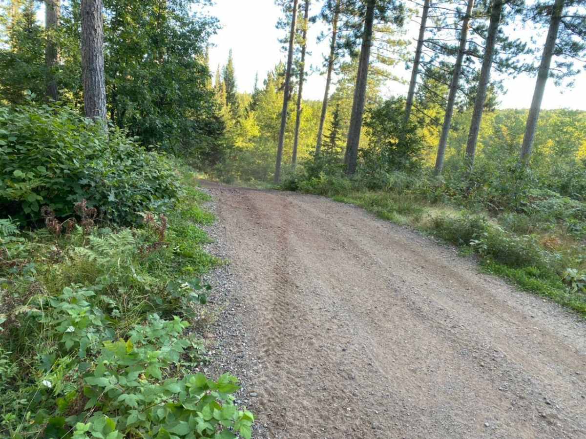
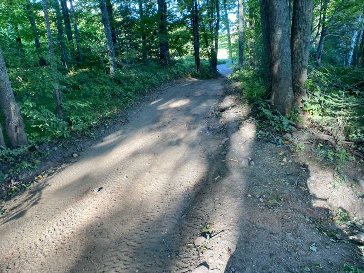
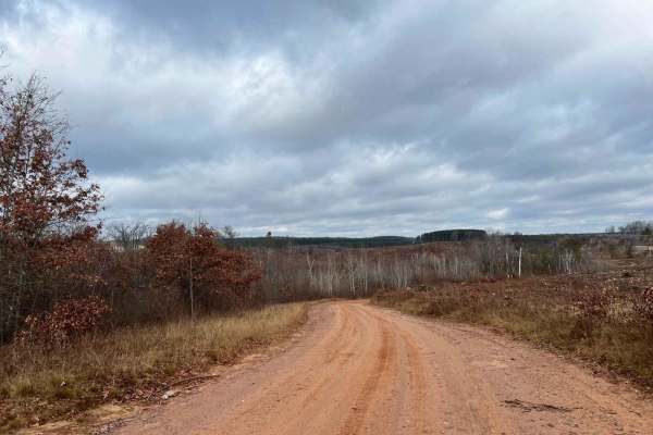
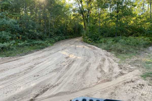
Photos of F15 Trail

Difficulty

The trail is very easy. Some spots can hold water after heavy rains, but nothing that requires 4WD.

Technical Rating

2

F15 Trail Trail can be accessed by the following ride types:

  • 50 Inch
  • 60 Inch

F15 Trail Map

The onX Offroad Difference

onX Offroad combines trail photos, descriptions, difficulty ratings, width restrictions, seasonality, and more in a user-friendly interface. Available on all devices, with offline access and full compatibility with CarPlay and Android Auto. Discover what you're missing today!

Open Trail Map