Westside Road

Total Miles12.2
Technical Rating
2Easy
Best TimeSpring, Summer, Fall, Winter
Trail TypeFull-Width Road
Accessible By
Open Trail Map

Trail Overview

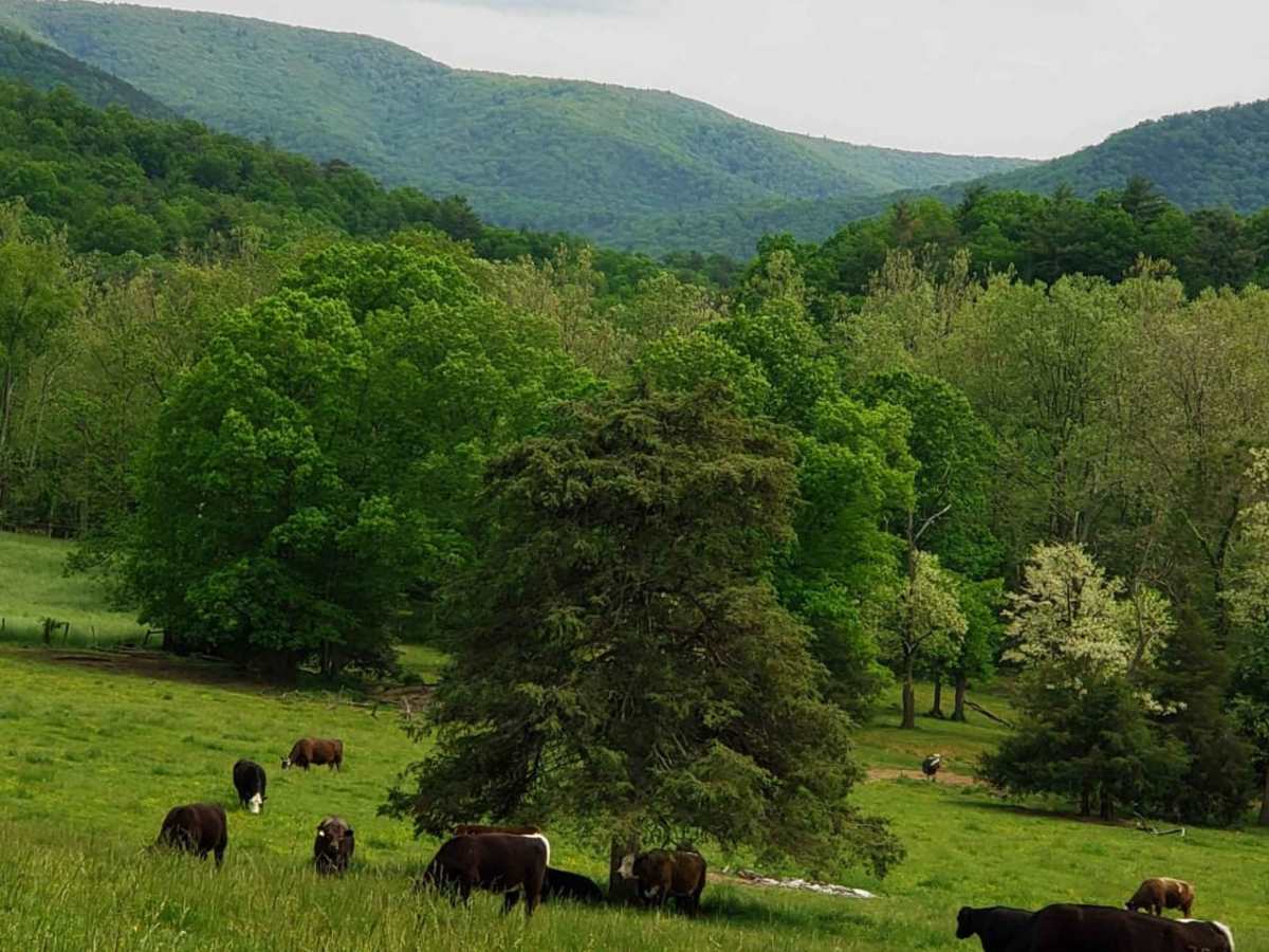
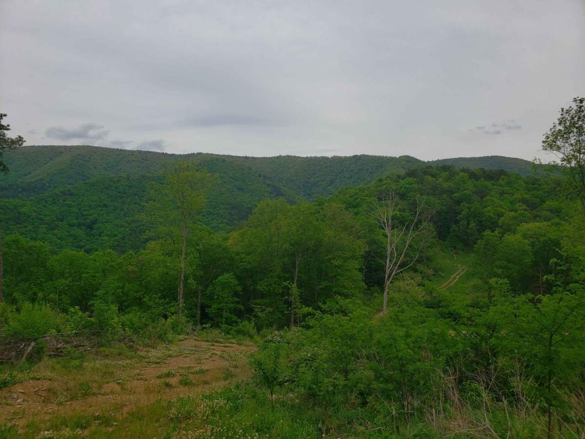
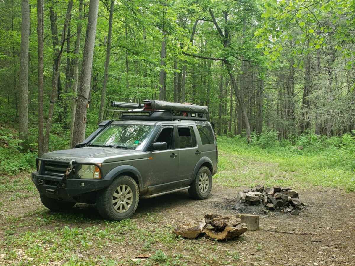
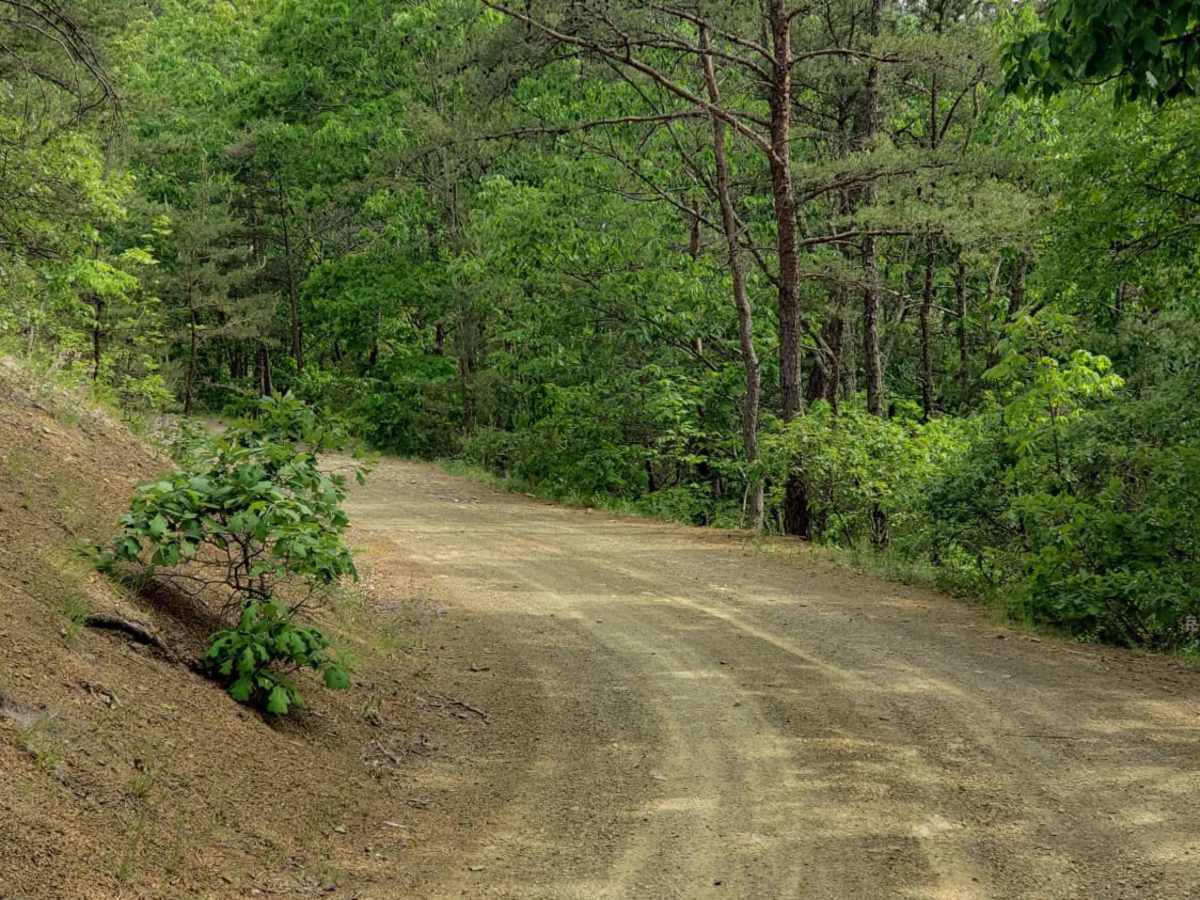
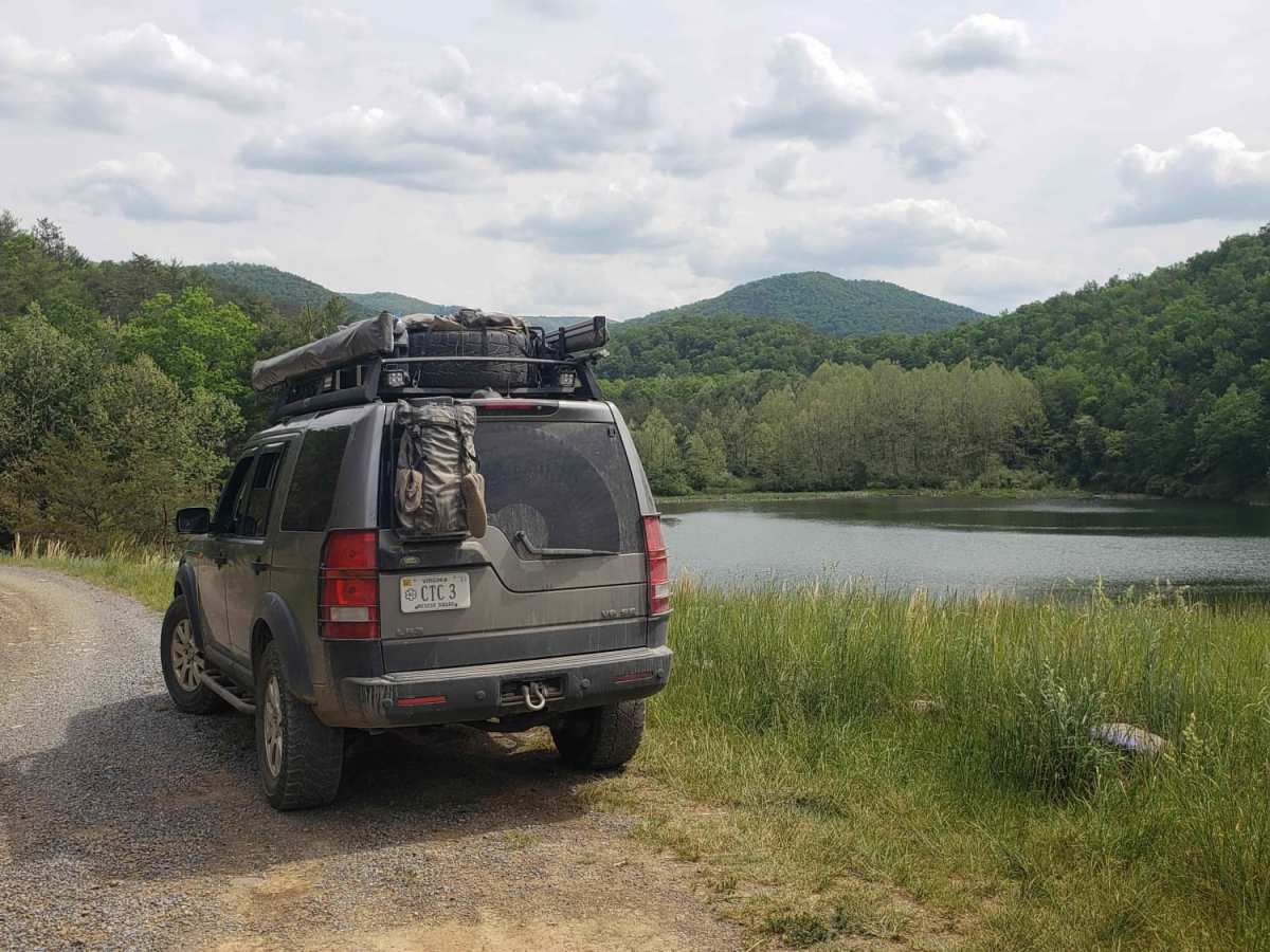
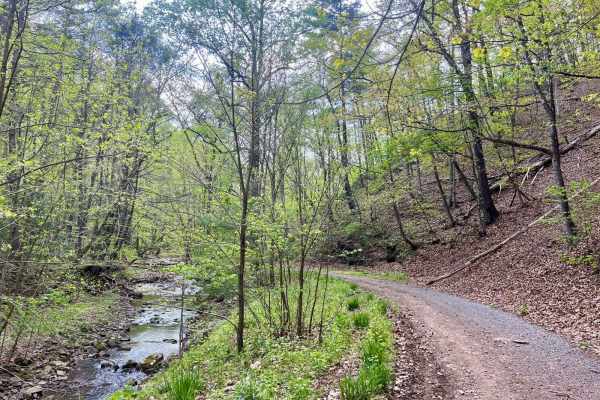
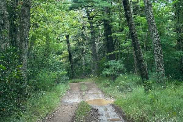
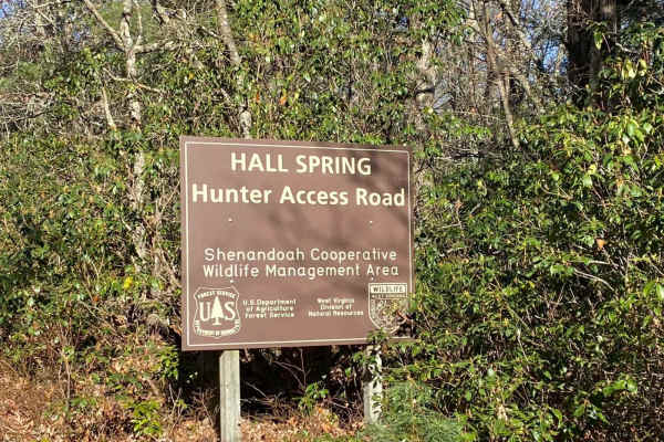
Westside Road travels along the western slope of Shenandoah mountain in WV. Be respectful while travelling through private property, from WV Co Route 34 to the National Forest boundary. The route is generally dirt with crushed stone in high erosion areas with some exposed natural rock. The route includes several small stream crossings and multiple dispersed camping areas.

Photos of Westside Road

Difficulty

Mostly all graded surface with some exposed rocky sections. Slopes entering and exiting streams may pose challenge for lower clearance vehicles.

Technical Rating

2

Status Reports

Add Status Report
andy thomas
Sep 27, 2025
2015 Chevrolet Silverado
Open
Muddy/WetNormal
we started from the west. you'll cross a mile or so of private land. be courteous and watch out for the livestock. once you are past the reservoir the road turns into normal gw forest road consisting of a mixture of dirt, gravel and rocky base. there are quite a few shallow creek crossings that were mostly dried up and some exposed rocky bits. there are lots of switchbacks and blind corners. keep an eye for oncoming traffic on this narrow road as there aren't many turnoffs. there are a few primitive camp spots along the road. a few can fit large groups.
steven MacLauchlan
May 24, 2025
2024 Ford Ranger
Open
Normal
Road was in good shape, a few minor washouts and some steeper water crossings, but nothing a stock 4x4 or even most SUVs would have any trouble with.
andy thomas
Apr 12, 2025
2015 Chevrolet Silverado
Open
the trail is normal dirt forest road. some parts are rockier than others and there are numerous shallow creek crossings. most of the trail is one vehicle wide with occasional turnouts to pass. the first portion of the trail on the north end crosses private land with livestock. be courteous and keep your speeds low. the older gentleman was cleaning out the cattle guards when we came through
BigPapaPickle
Aug 31, 2024
2010 Lexus GX
Open
Normal
andy thomas
May 03, 2024
2003 Mitsubishi Montero Sport
Open
we took the trail north to south. the fsr starts by crossing through private land with livestock gates and housing so keep speeds to a minimum. the trail is mainly dirt/gravel with lots of exposed rocky sections less than 6" high. there are multiple shallow creek crossings along the route. there are a few dispersed camping spots along the trail. the trail is narrow with many blind switchbacks with plenty of elevation change. be careful of oncoming traffic passing can be tricky. the trail ends at highway 33.
Kirk Mason
Aug 16, 2023
Open
Normal

Westside Road Trail can be accessed by the following ride types:

  • High Clearance
  • Full Width

Westside Road Map

The onX Offroad Difference

onX Offroad combines trail photos, descriptions, difficulty ratings, width restrictions, seasonality, and more in a user-friendly interface. Available on all devices, with offline access and full compatibility with CarPlay and Android Auto. Discover what you're missing today!

Open Trail Map