Trail Overview
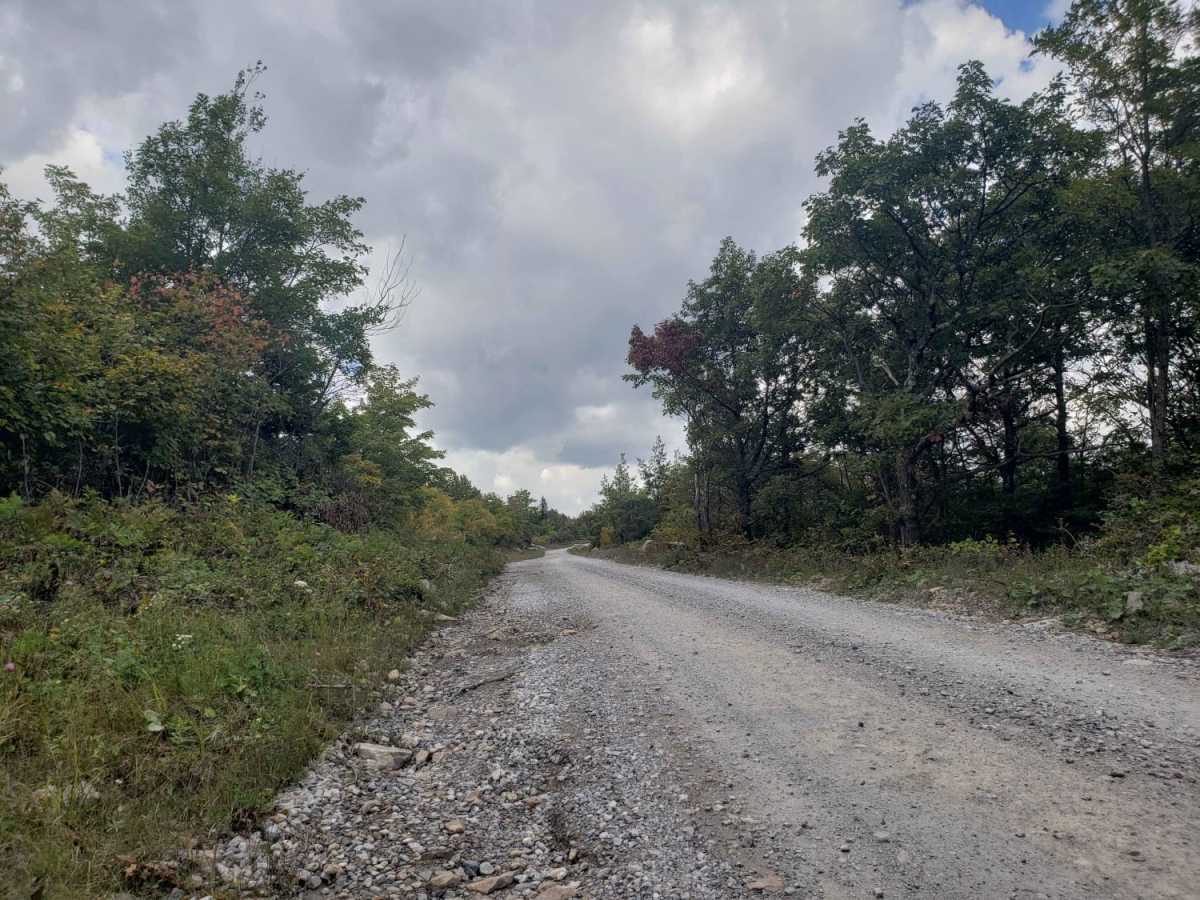
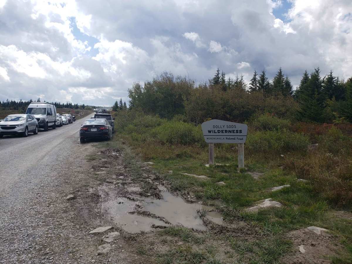
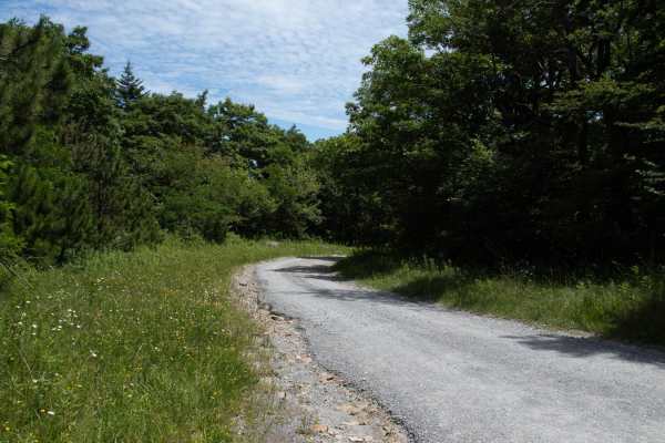
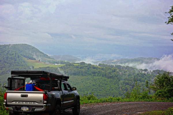
The Road Across The Sky is an incredibly scenic, high-altitude drive perfect for overlanders, campers, and outdoor enthusiasts of all skill levels looking to explore the windswept plains of the Dolly Sods Wilderness. Spanning approximately 15.3 miles across the Monongahela National Forest, this well-maintained gravel and dirt road winds up from an elevation of 2,152 feet to a high point of 4,081 feet on the plateau. Drivers will experience a climb of nearly 2,400 feet of cumulative elevation gain, beginning on the eastern side near Route 28 and ascending the ridge to the famous Bear Rocks area. Suitable for standard passenger cars during the dry season, as well as high-clearance four-wheel-drive vehicles, SUVs, and SxSs, the trail provides access to some of the most unique subalpine landscapes in the eastern United States.
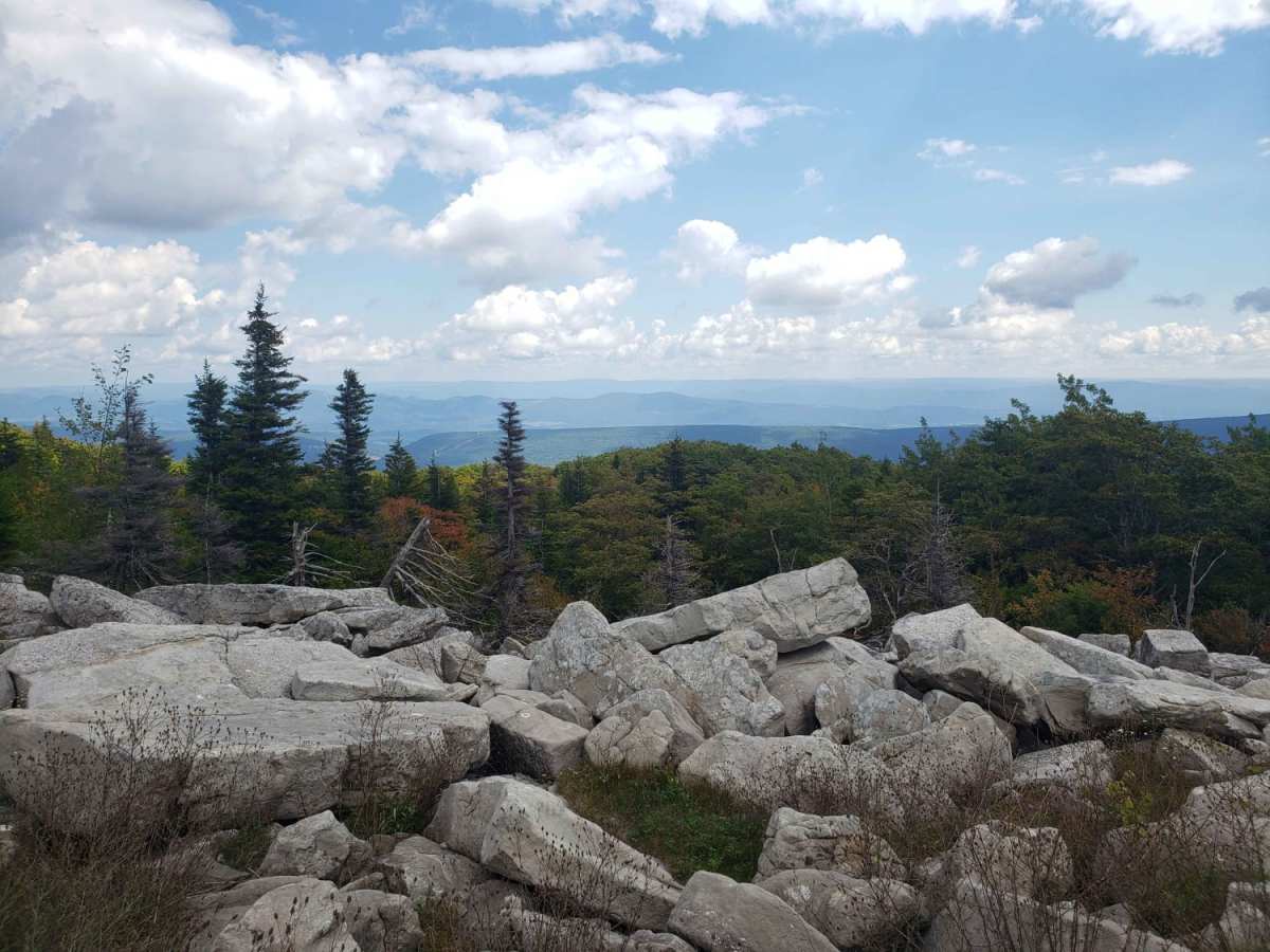
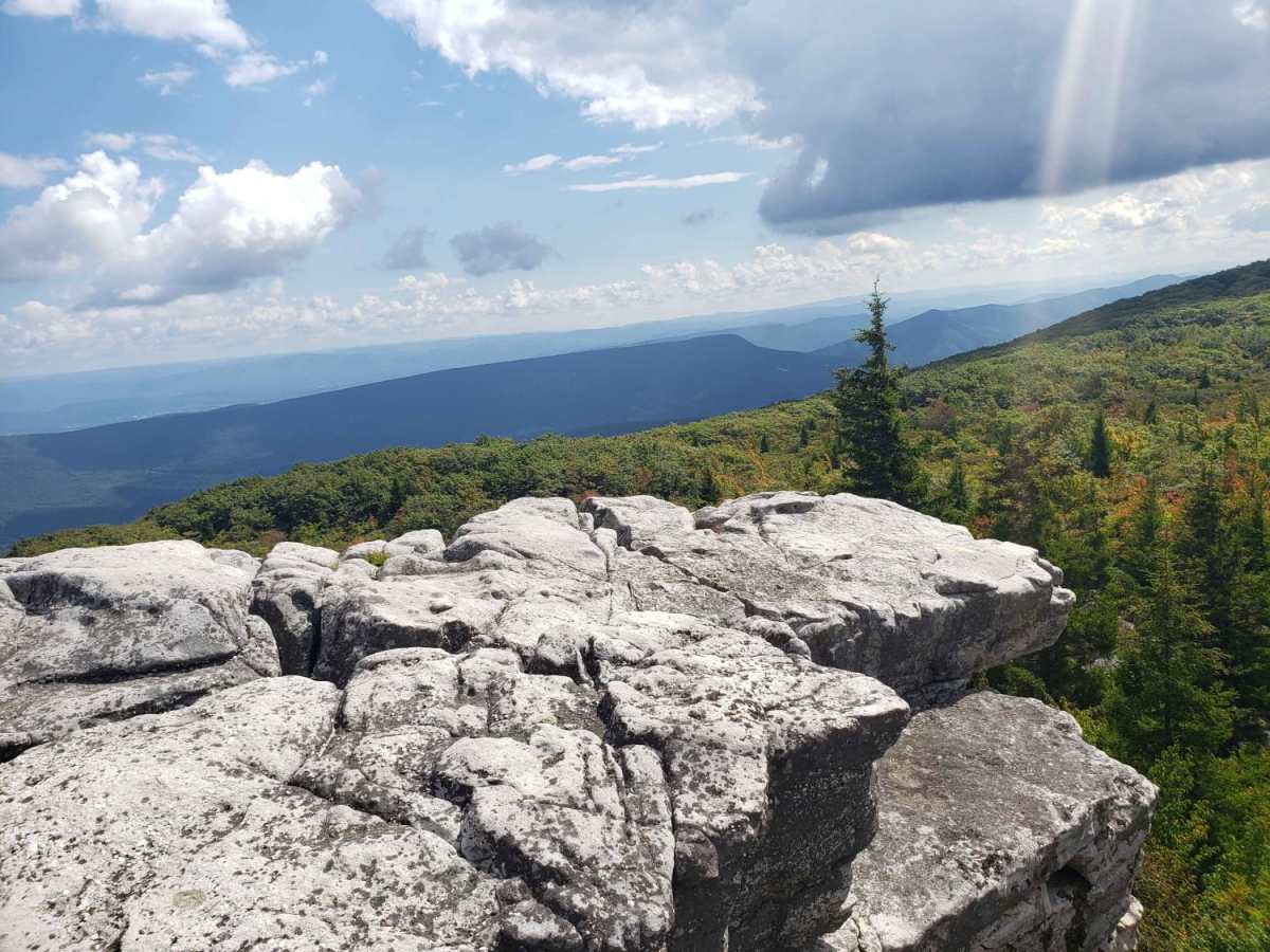
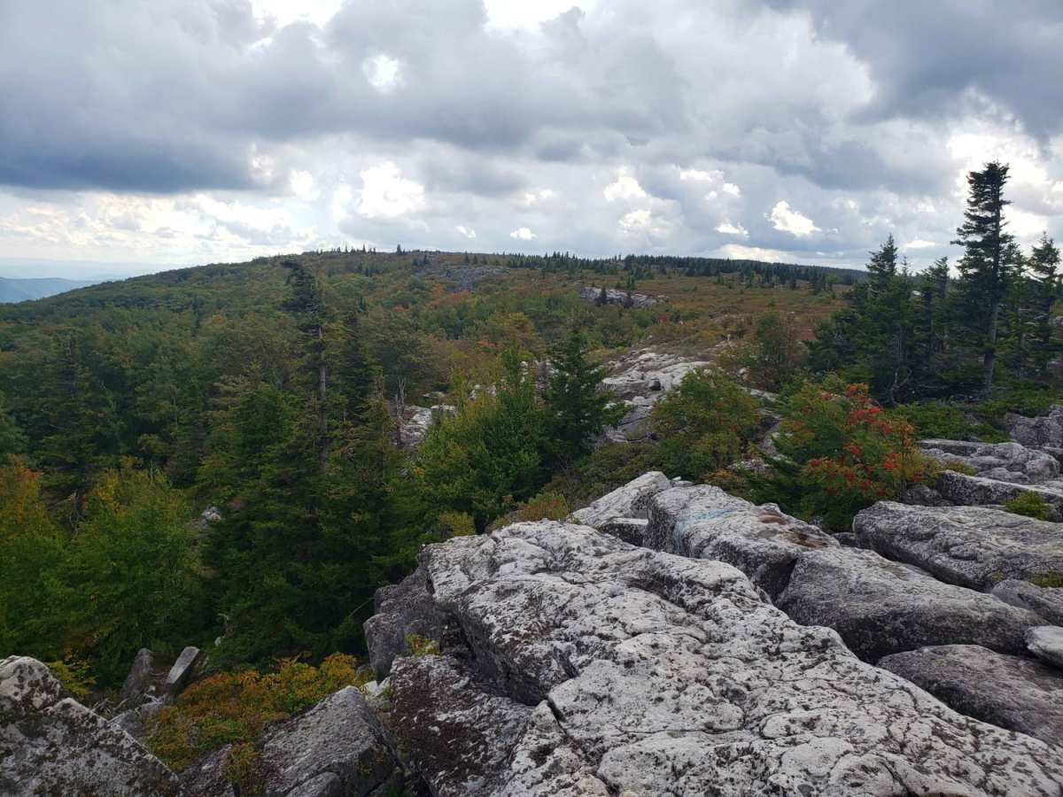
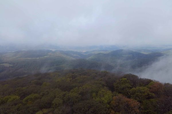
Along the route, numerous primitive campsites offer outstanding opportunities for boondocking amidst stunted red spruce trees and unique sandstone rock formations. Bear Rocks stands out as a must-stop waypoint near the summit where visitors can park and walk out onto giant boulders for panoramic views of the Canaan Valley and the surrounding mountains. The road is typically open from spring through late fall but can become impassable during winter due to heavy snow and lack of maintenance. Cell service is nonexistent throughout the entire high-plateau area, making offline maps essential for navigation. While the primary surface consists of easy unpaved gravel with minimal technical obstacles, drivers should remain alert for pedestrian traffic near trailheads and watch for occasional potholes along the way.


 Offroad