RH 42

Total Miles4.8
Technical Rating
4Moderate
Best TimeSpring, Fall, Summer, Winter
Trail Type60" Trail
Accessible By
Open Trail Map

Trail Overview

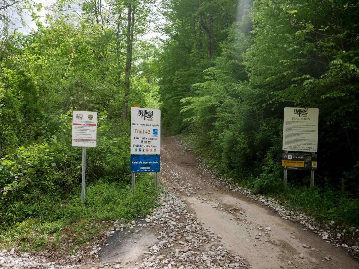
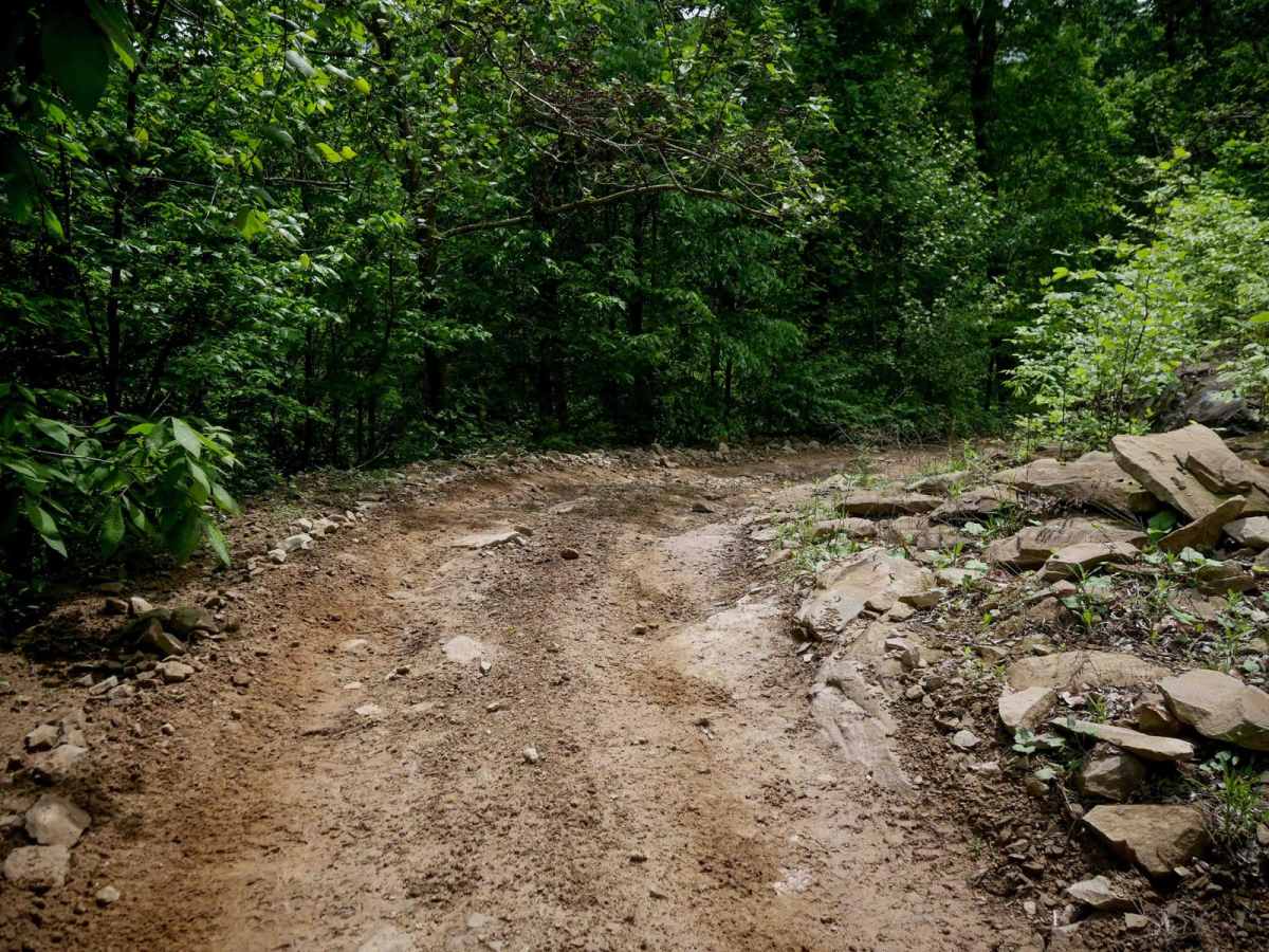
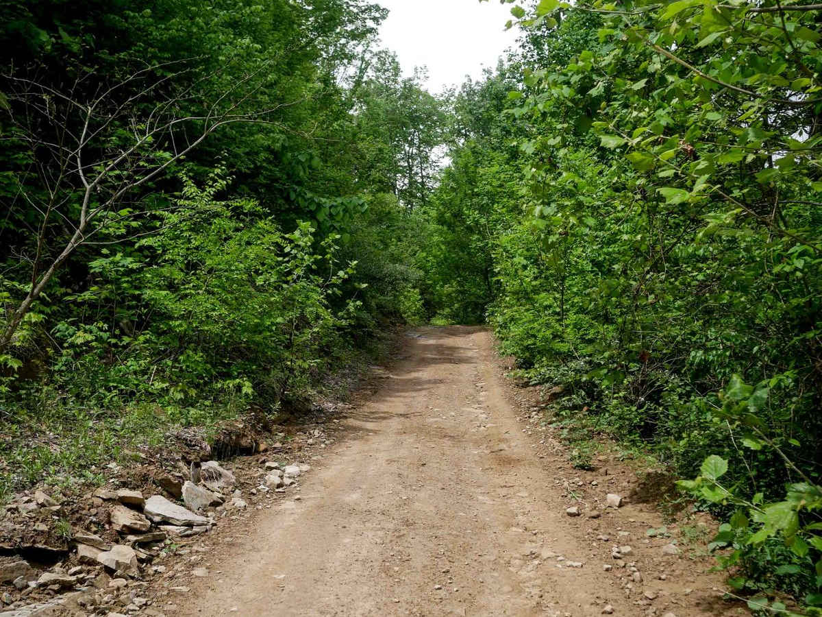
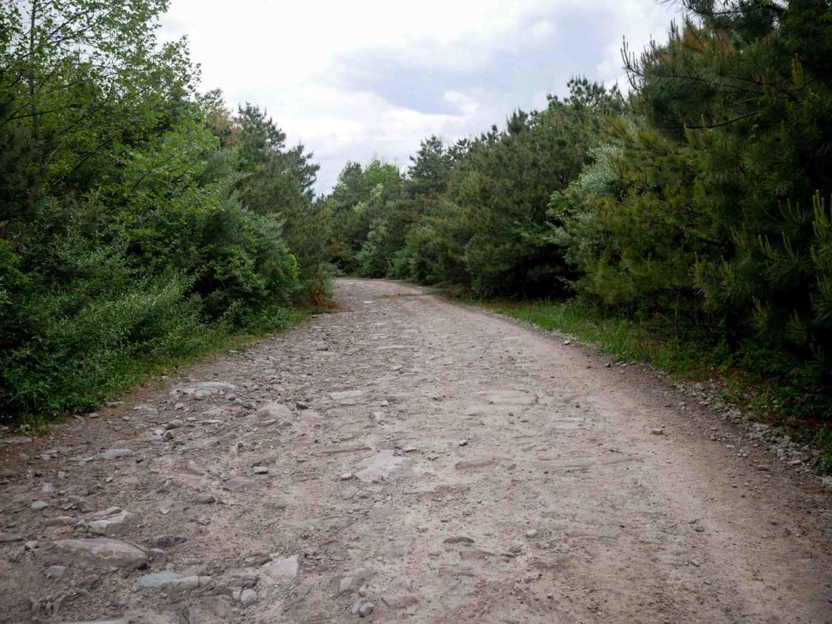
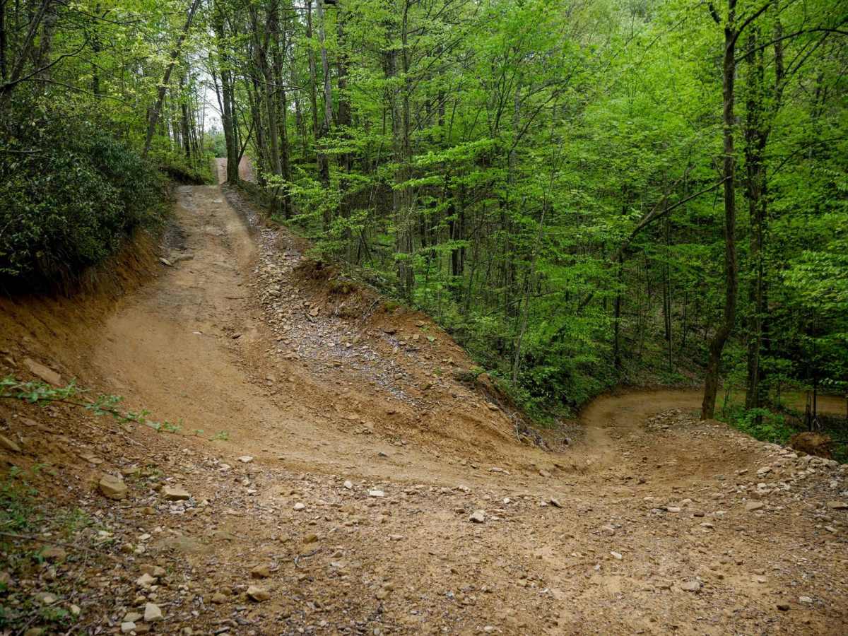
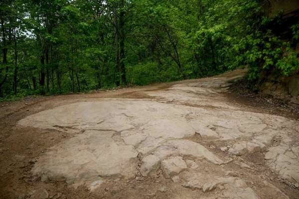
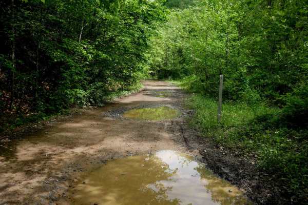
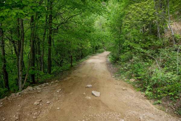
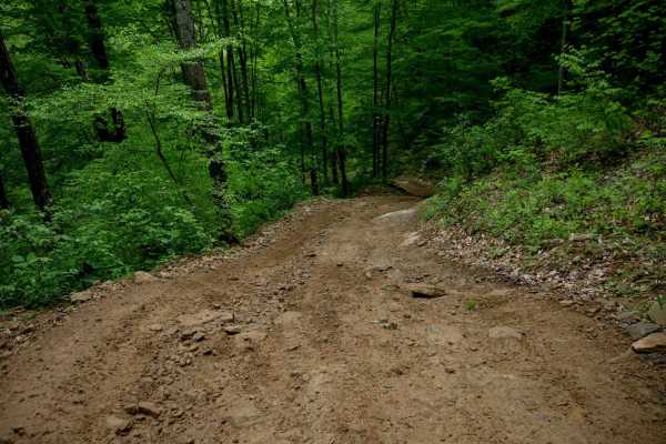
RH 42 is a 5-mile-long trail that forms a loop with RH 41, connecting the Rock House and Devil Anse systems by crossing Highway 44. It's an easy shelf-style path with minor ruts and loose rock, though it includes tight switchbacks and some steeper sections that add a bit more difficulty. Near the eastern end, the trail widens and flattens out as it winds through higher elevation pine forest. Some embedded rock surfaces make the ride more technical in places, especially around the wider switchbacks, but it remains easy overall.

Photos of RH 42

Difficulty

This is an easy SxS route with some steep spots and loose rock, but it is overall ideal for all skill levels. Note that this is considered More Difficult by Hatfield McCoy's rating system.

Technical Rating

4

RH 42 Trail can be accessed by the following ride types:

  • Single Track
  • 50 Inch
  • 60 Inch

RH 42 Map

The onX Offroad Difference

onX Offroad combines trail photos, descriptions, difficulty ratings, width restrictions, seasonality, and more in a user-friendly interface. Available on all devices, with offline access and full compatibility with CarPlay and Android Auto. Discover what you're missing today!

Open Trail Map