RH 26

Total Miles2.3
Technical Rating
4Moderate
Best TimeFall, Spring, Summer, Winter
Trail Type60" Trail
Accessible By
Open Trail Map

Trail Overview

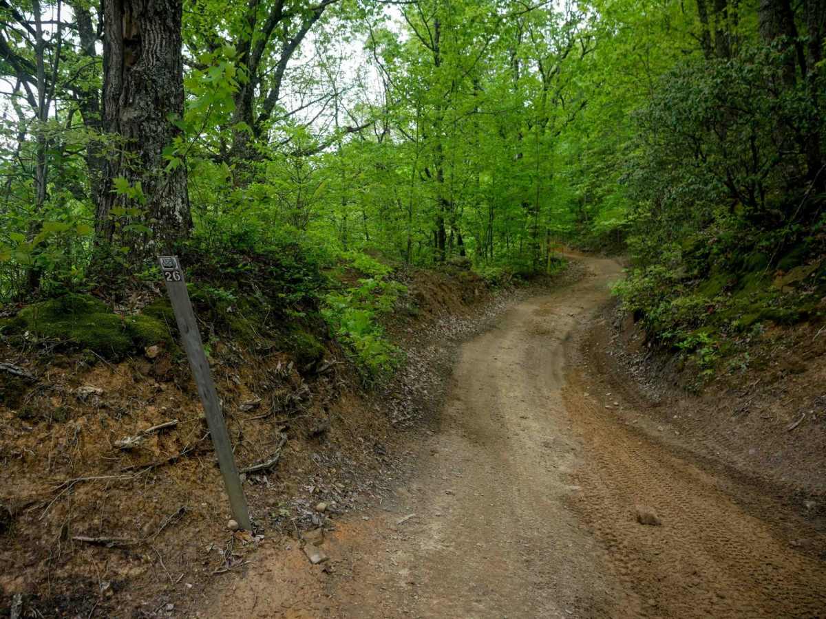
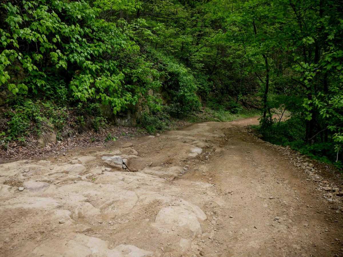
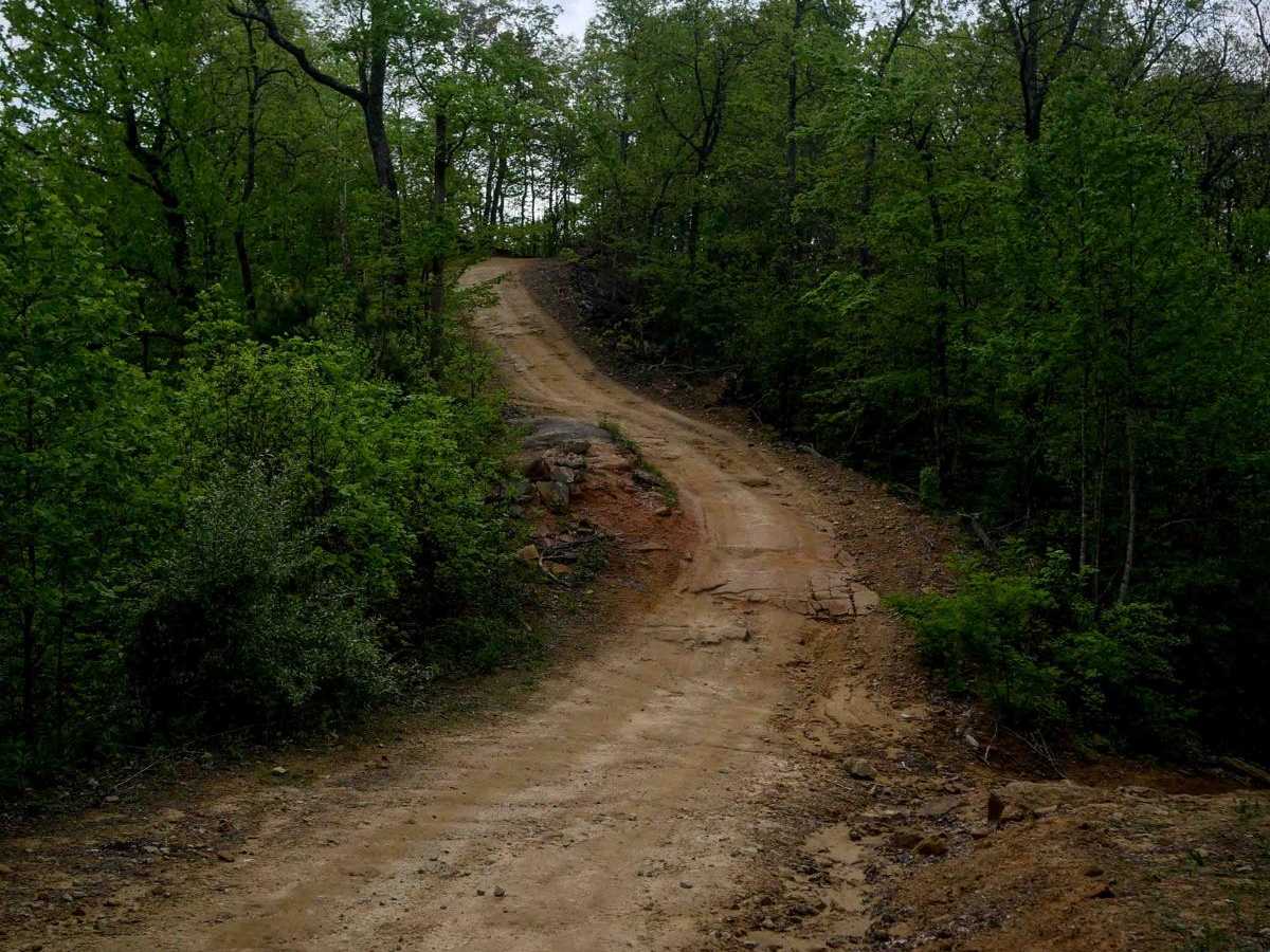
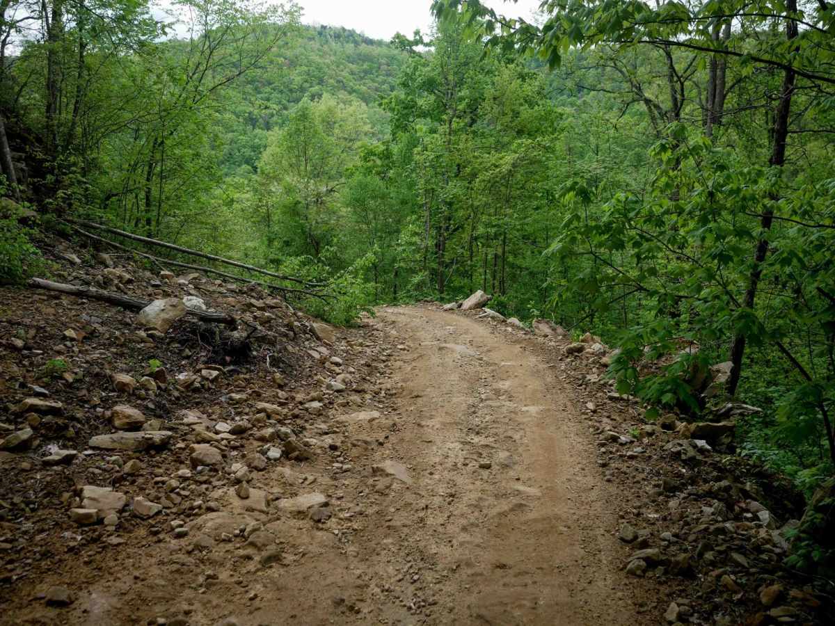
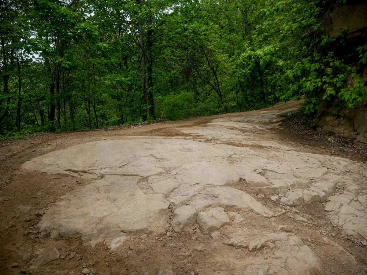
RH 26 is a shelfy trail, mostly one lane wide, along a hillside, that begins with some embedded rock right away. Throughout the 1.6 miles, it has uneven dirt and rock layers forming 6-inch ledges that are mostly ramped and manageable. The trail includes roots, loose rock, and deeper ruts, along with a steep climb up over the embedded rock layers. After the initial climb from the north end, it descends steeply through tight switchbacks to the intersection with RH 41, continuing its descent to connect with RH 34.

Photos of RH 26

Difficulty

Overall, RH 26 is moderate due to steep switchbacks and embedded rock layers.

Technical Rating

4

Status Reports

Add Status Report
Jeremy Malmstead
Jul 11, 2026
Open
Rough/Deteriorated
Definitely Black diamond level towards the later section of the trail as it meets 25. Very washed out and technical uphill and downhill. Plenty of overhangd and steep banks. It levels out as the trail meets 25

RH 26 Trail can be accessed by the following ride types:

  • Single Track
  • 50 Inch
  • 60 Inch

RH 26 Map

The onX Offroad Difference

onX Offroad combines trail photos, descriptions, difficulty ratings, width restrictions, seasonality, and more in a user-friendly interface. Available on all devices, with offline access and full compatibility with CarPlay and Android Auto. Discover what you're missing today!

Open Trail Map