Q3

Total Miles1.1
Technical Rating
4Moderate
Best TimeSpring, Summer, Fall, Winter
Trail TypeFull-Width Road
Accessible By
Open Trail Map

Trail Overview

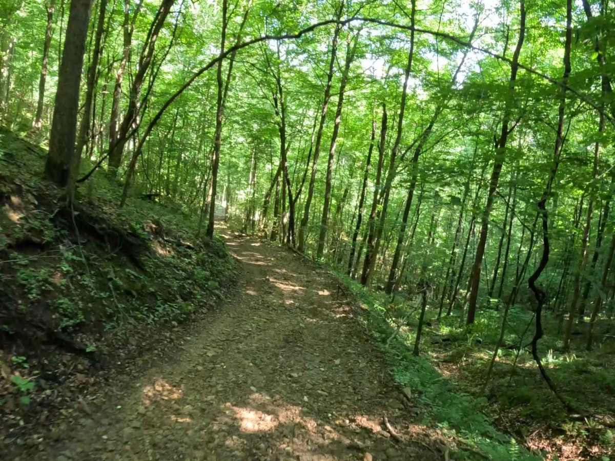
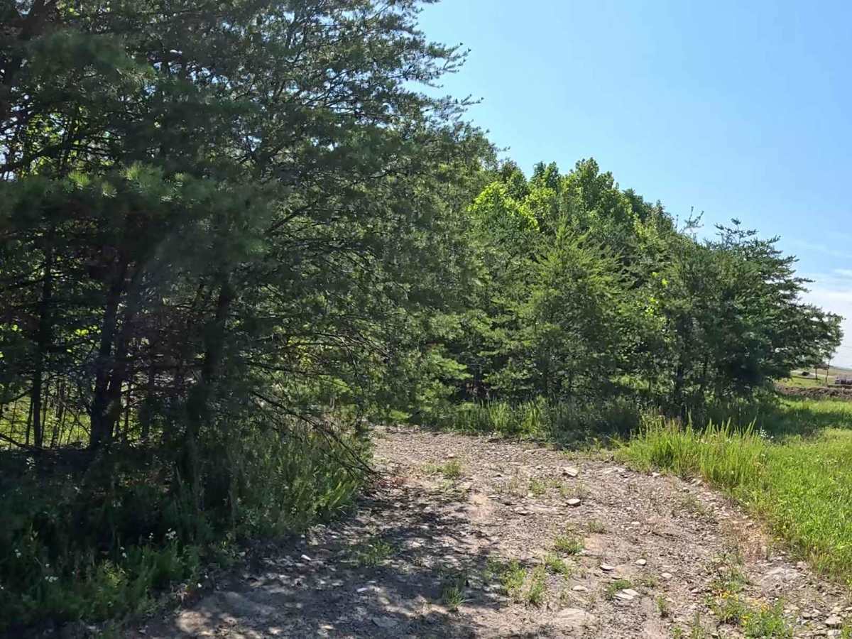
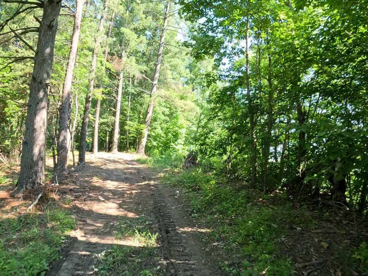
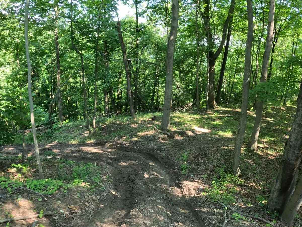
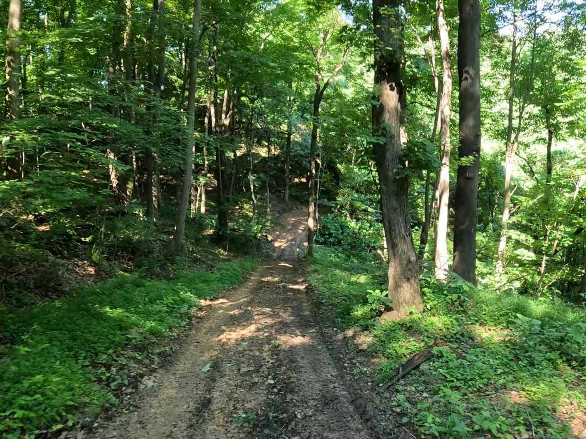
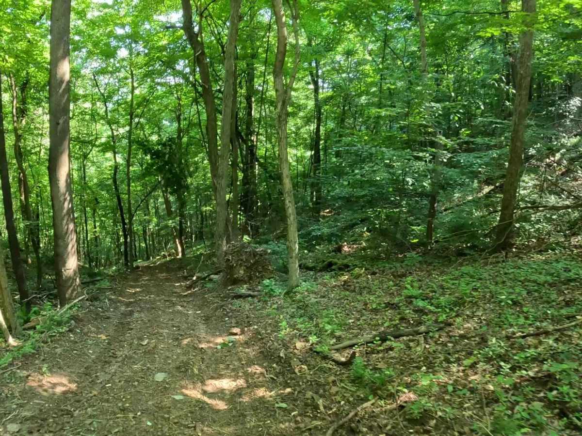
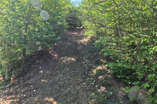
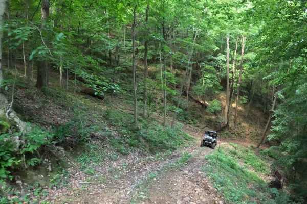
Q3 is a moderate connector trail descending from Q11 in upper Quincy into lower Quincy. The trail also connects to Q12 and can be combined with adjoining connectors to create several loop options through the lower Quincy trail system. The trail consists primarily of loose dirt with moderate to steep grades. The descent from upper Quincy features loose surfaces that require careful throttle and brake control, particularly on the steeper sections.

Photos of Q3

Difficulty

Mixed dirt trail with steep grades and loose surfaces. Suitable for most 4WD and high-clearance vehicles. Requires basic line choice, throttle control, and attention to terrain. Trail conditions can change significantly after rainfall or during wet seasons. The loose dirt surface may become muddy with greatly reduced traction, increasing the difficulty of both climbing and descending.

Technical Rating

4

Q3 Trail can be accessed by the following ride types:

  • Single Track
  • 50 Inch
  • 60 Inch
  • High Clearance
  • Full Width

Q3 Map

The onX Offroad Difference

onX Offroad combines trail photos, descriptions, difficulty ratings, width restrictions, seasonality, and more in a user-friendly interface. Available on all devices, with offline access and full compatibility with CarPlay and Android Auto. Discover what you're missing today!

Open Trail Map