Trail Overview
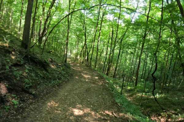
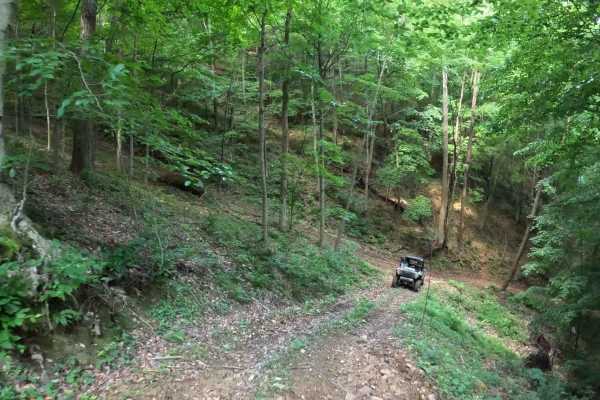
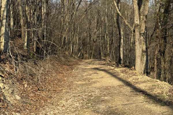
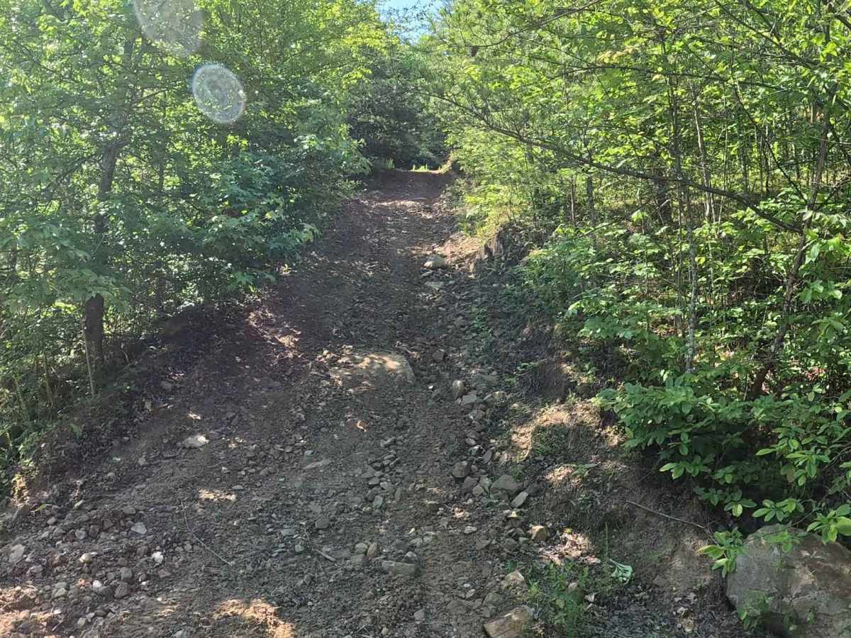
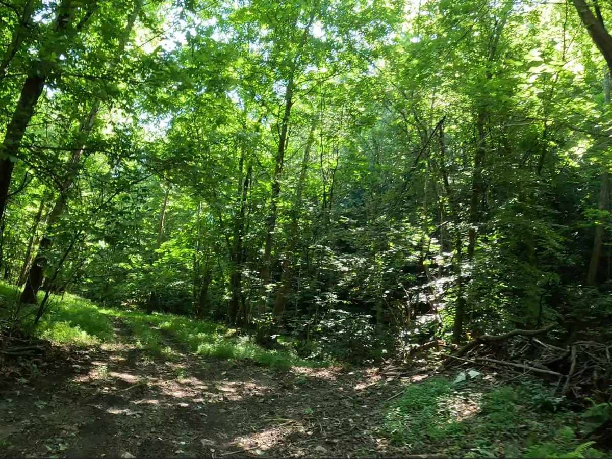
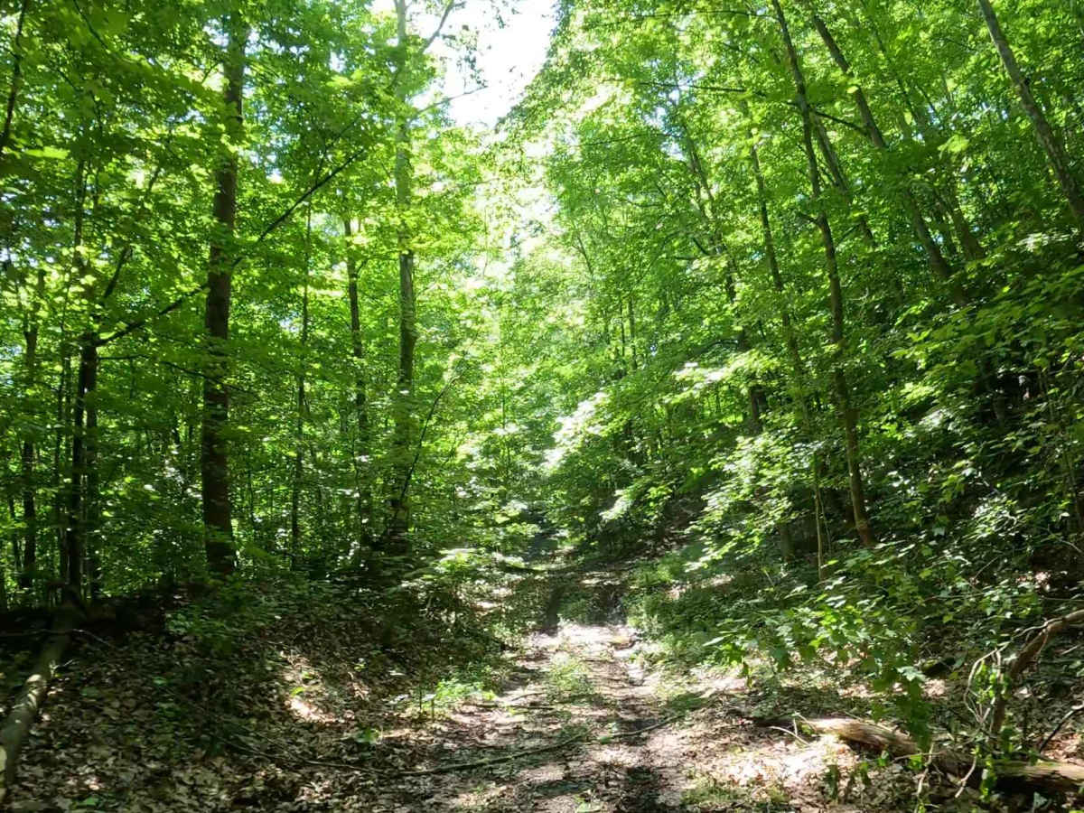
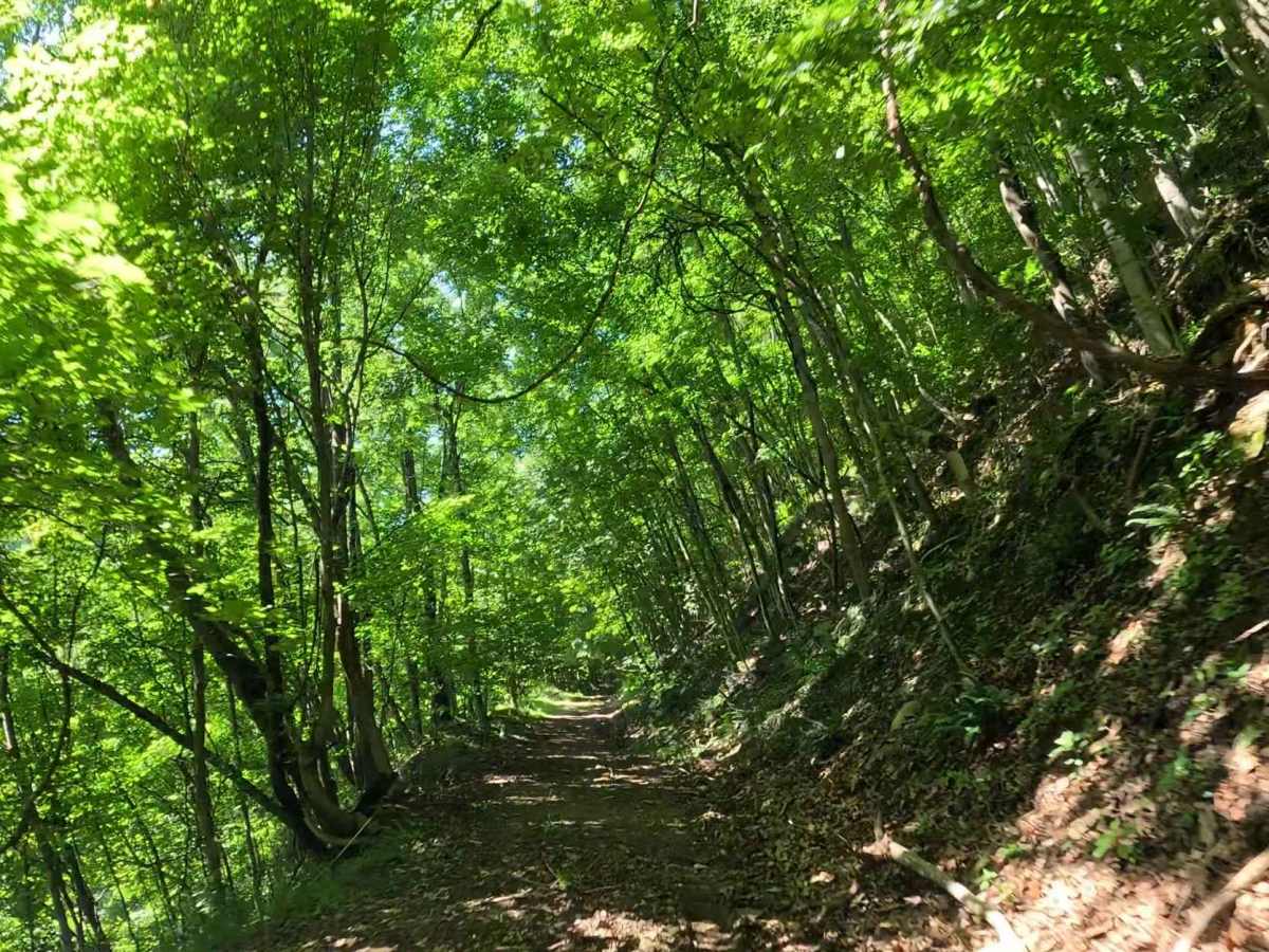
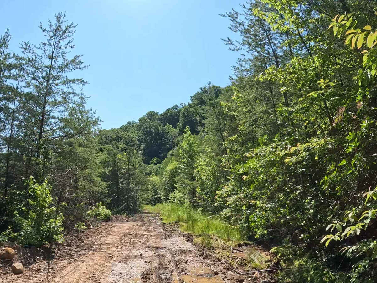
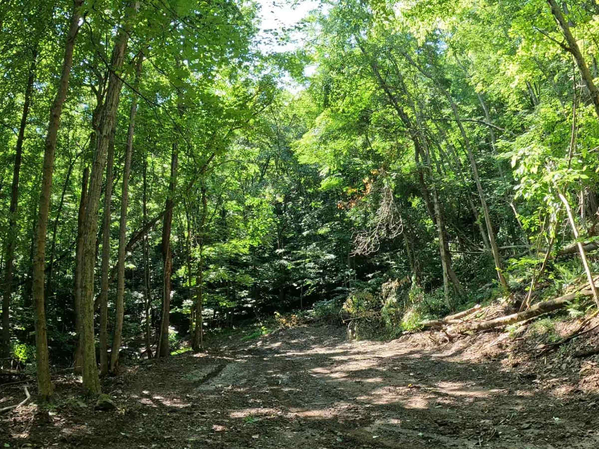
Q12 is a difficult connector trail linking Q3 in lower Quincy to Q11 at the top of the ridge. The trail features six stepped hill climbs with tight switchbacks and provides access to the offshoot trails Q3A and Q12A. The trail consists of loose gravel, exposed rocks, and dirt with six distinct hill climbs. Each ascent is followed by a right-hand switchback, requiring careful line selection and controlled throttle to maintain momentum while negotiating the turns.
Difficulty
Technical terrain including steep grades, loose gravel, exposed rocks, and multiple stepped hill climbs with switchbacks. Best suited for experienced drivers in 4WD, high-clearance vehicles. Trail conditions can change significantly during wet weather. Rain can reduce traction on the loose rock and gravel, making the climbs and switchbacks considerably more difficult. Be aware of other vehicles ascending or descending the trail, particularly around the blind switchbacks.