Hog Back Road

Total Miles4.2
Technical Rating
1Easy
Best TimeSpring, Summer, Fall, Winter
Trail TypeFull-Width Road
Accessible By
Open Trail Map

Trail Overview

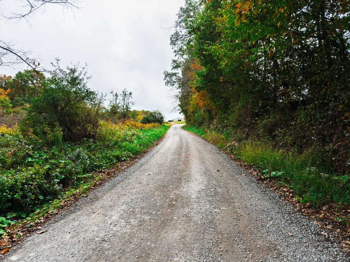
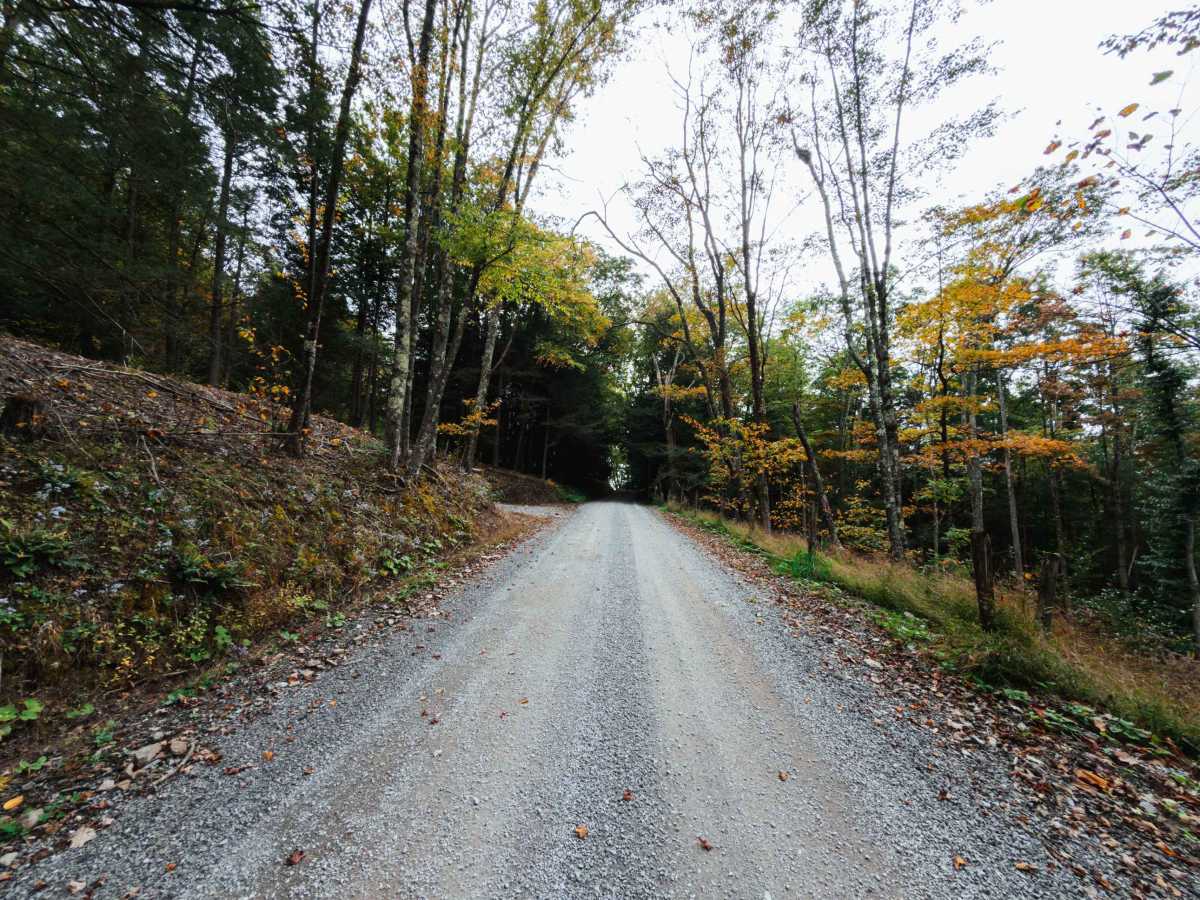
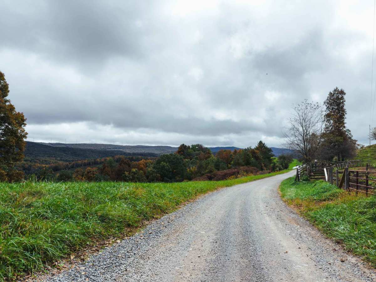
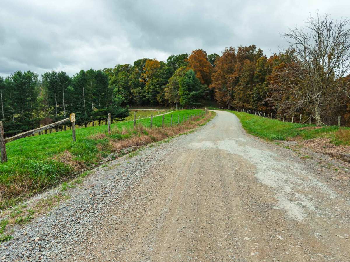
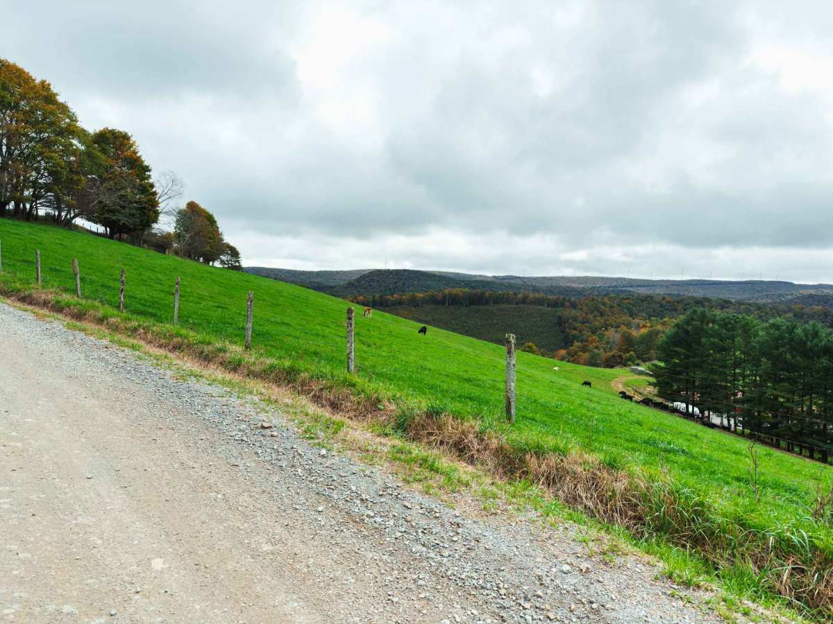
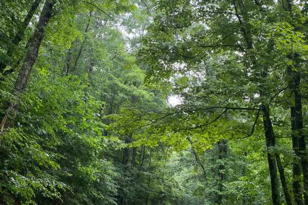
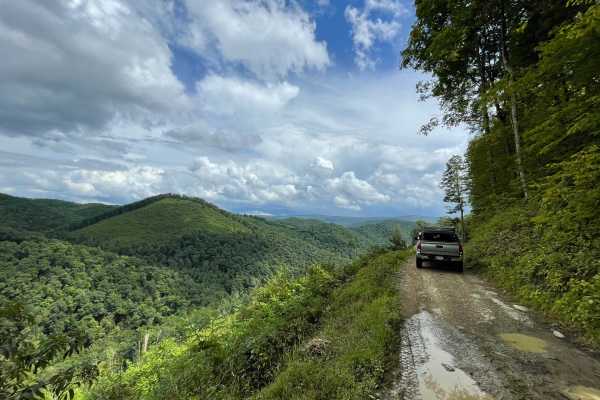
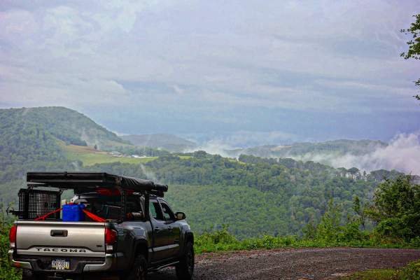
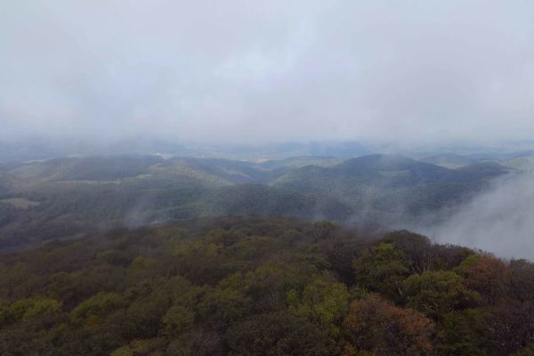
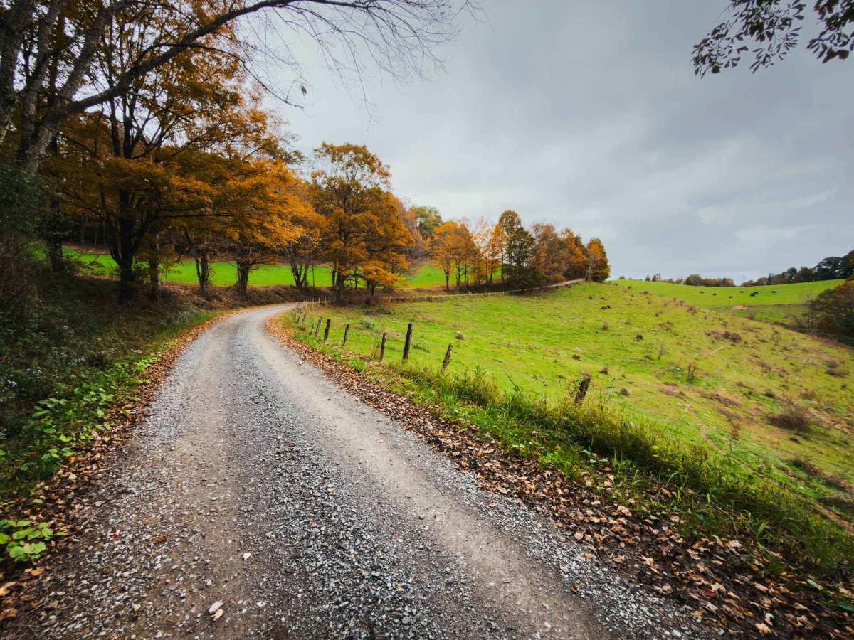
Hog Back Road (CR 118) is a 4.3-mile north-south gravel road that crosses the Tucker and Preston County line through the northernmost section of Monongahela National Forest. The road winds along the ridgeline and hillsides, alternating between dense hardwood forest and open pasture with expansive views. Several sections offer particularly scenic panoramas, especially during the fall. If you're traveling south from MD or PA towards Canaan Valley, this is the perfect route to wake up those senses. The road is generally narrow but well-graded, with a mix of gentle curves, rolling terrain, and a few switchbacks. There are no technical obstacles along the route, but the gravel surface, hills, and changing weather conditions can make for a more challenging drive during wet or winter conditions. Drivers and riders should expect a quiet, rural road with occasional farm access and limited development. The northern end of the route is adjacent to Farmer's Wildlife Park, making it a convenient landmark or tourist stop when navigating the area.

Photos of Hog Back Road

Difficulty

This is an easy, well-maintained gravel road with gentle grades and no significant obstacles, suitable for 4WD, AWD, and motorcycles.

Technical Rating

1

Hog Back Road Trail can be accessed by the following ride types:

  • 60 Inch
  • High Clearance
  • Full Width

Hog Back Road Map

The onX Offroad Difference

onX Offroad combines trail photos, descriptions, difficulty ratings, width restrictions, seasonality, and more in a user-friendly interface. Available on all devices, with offline access and full compatibility with CarPlay and Android Auto. Discover what you're missing today!

Open Trail Map