Calvert Shaver

Total Miles6
Technical Rating
3Easy
Best TimeSpring, Summer, Fall, Winter
Trail TypeFull-Width Road
Accessible By
Open Trail Map

Trail Overview

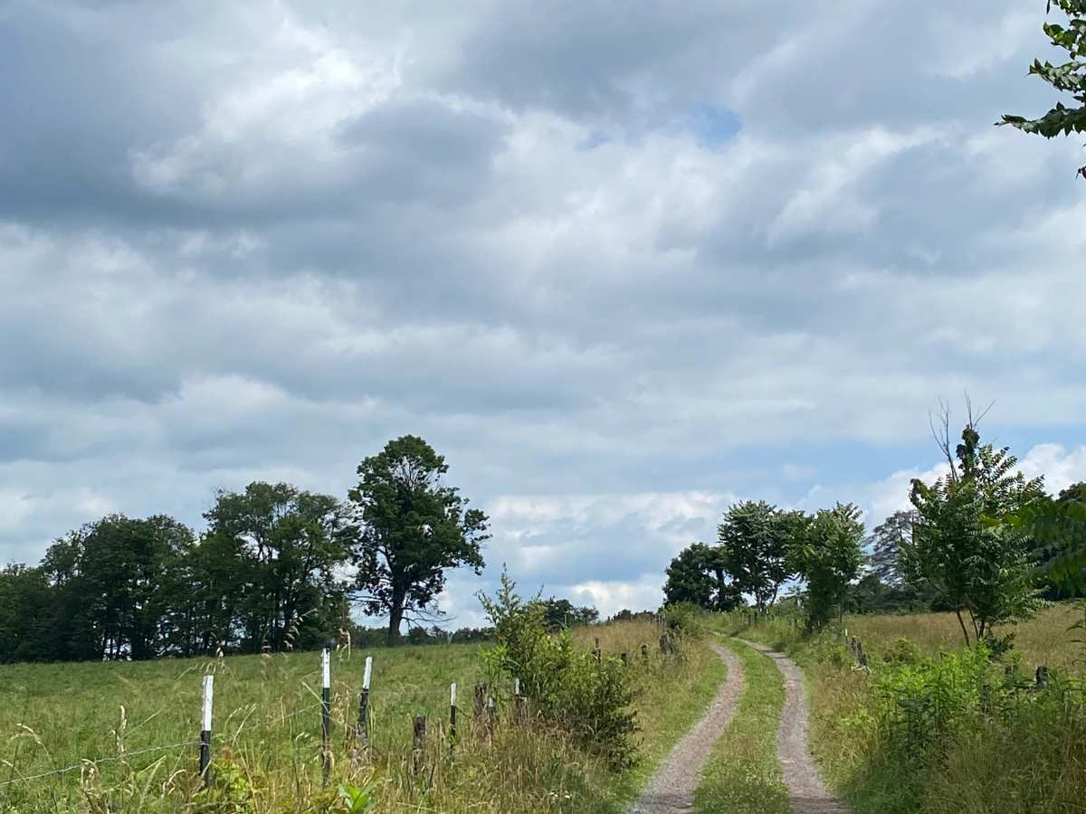
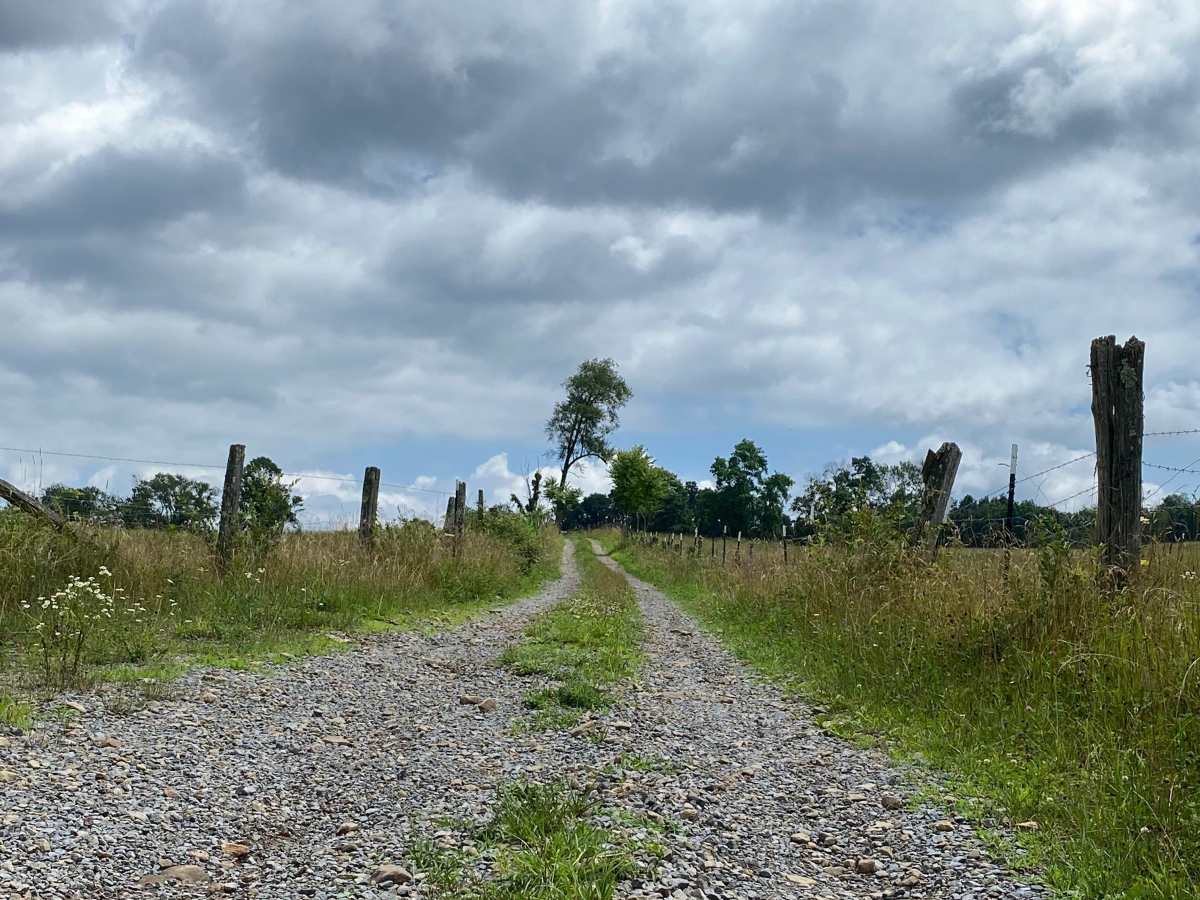
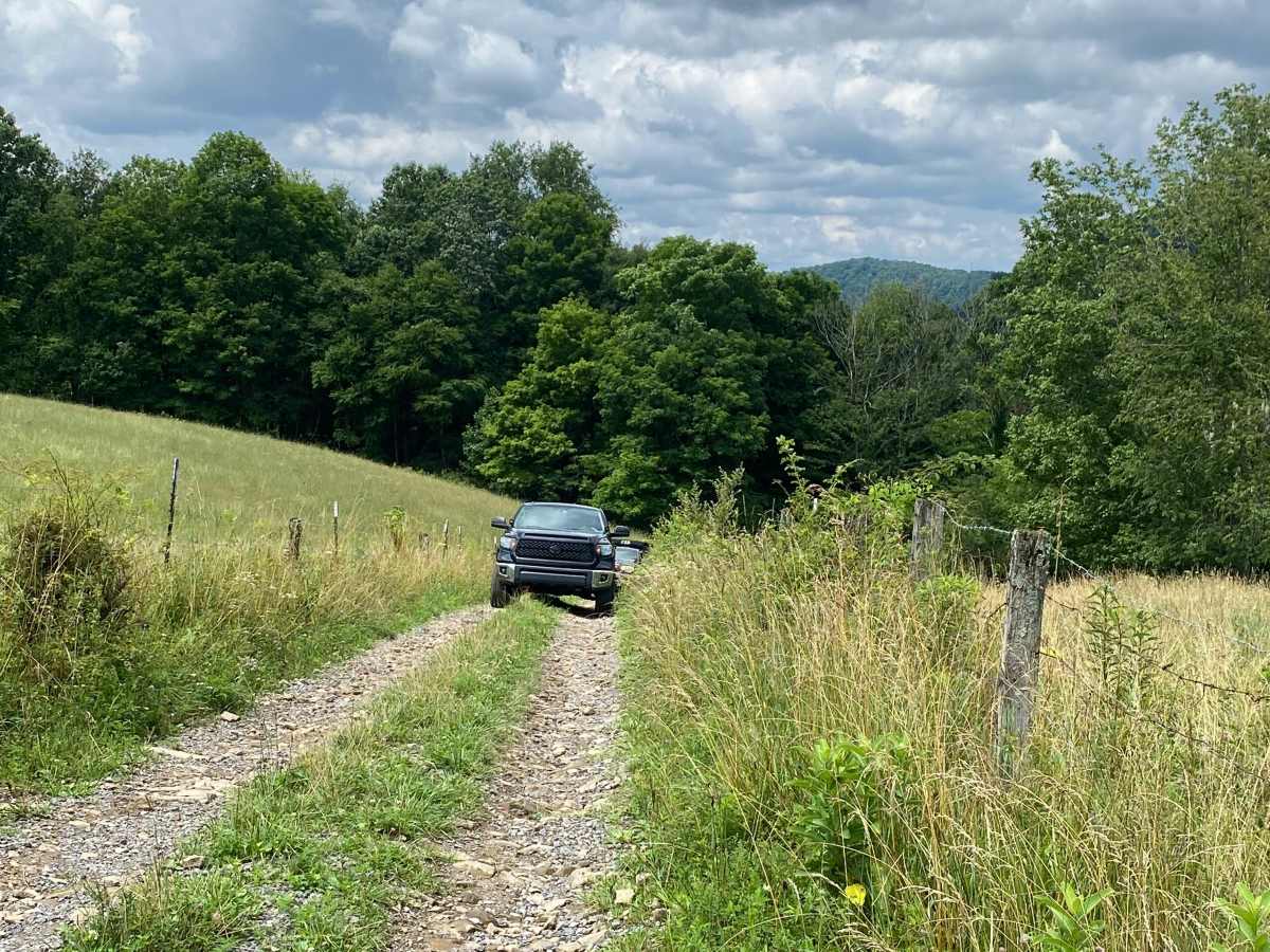
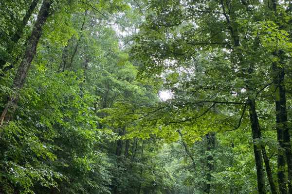
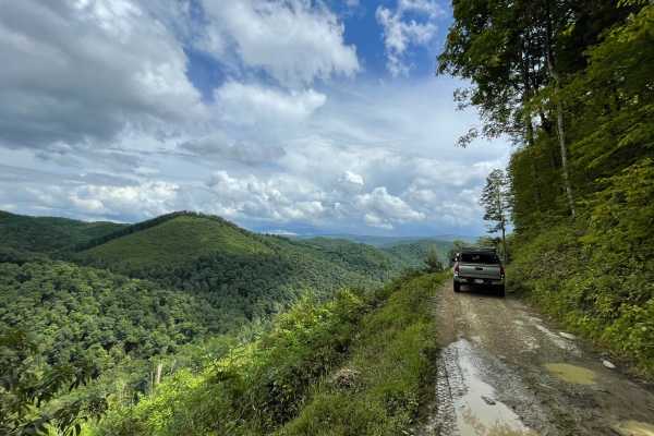
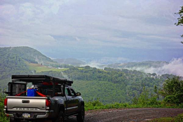
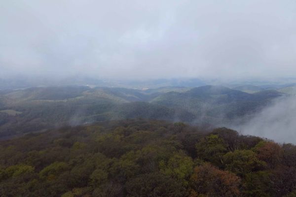
This is another of our favorites. It connects Albright, WV to Rowlesburg, WV. You will start off climbing the mountain through some single-lane trails, eventually reaching a large flat top where you will pass through some open fields next to some cow pastures, eventually leading you back down into the small town of Rowlesburg.

Photos of Calvert Shaver

Difficulty

I'd call this a 3 due to the shelf roads with consequences and the remoteness. NOTE: Expect large snow drifts on the upper flat field sections during Winter months. Bring a winch or some buddies and other recovery gear if you travel during snow season.

Technical Rating

3

Calvert Shaver Trail can be accessed by the following ride types:

  • High Clearance
  • Full Width

Calvert Shaver Map

The onX Offroad Difference

onX Offroad combines trail photos, descriptions, difficulty ratings, width restrictions, seasonality, and more in a user-friendly interface. Available on all devices, with offline access and full compatibility with CarPlay and Android Auto. Discover what you're missing today!

Open Trail Map