B36

Total Miles2.7
Technical Rating
4Moderate
Best TimeFall, Spring, Summer, Winter
Trail TypeHigh-Clearance 4x4 Trail
Accessible By
Open Trail Map

Trail Overview

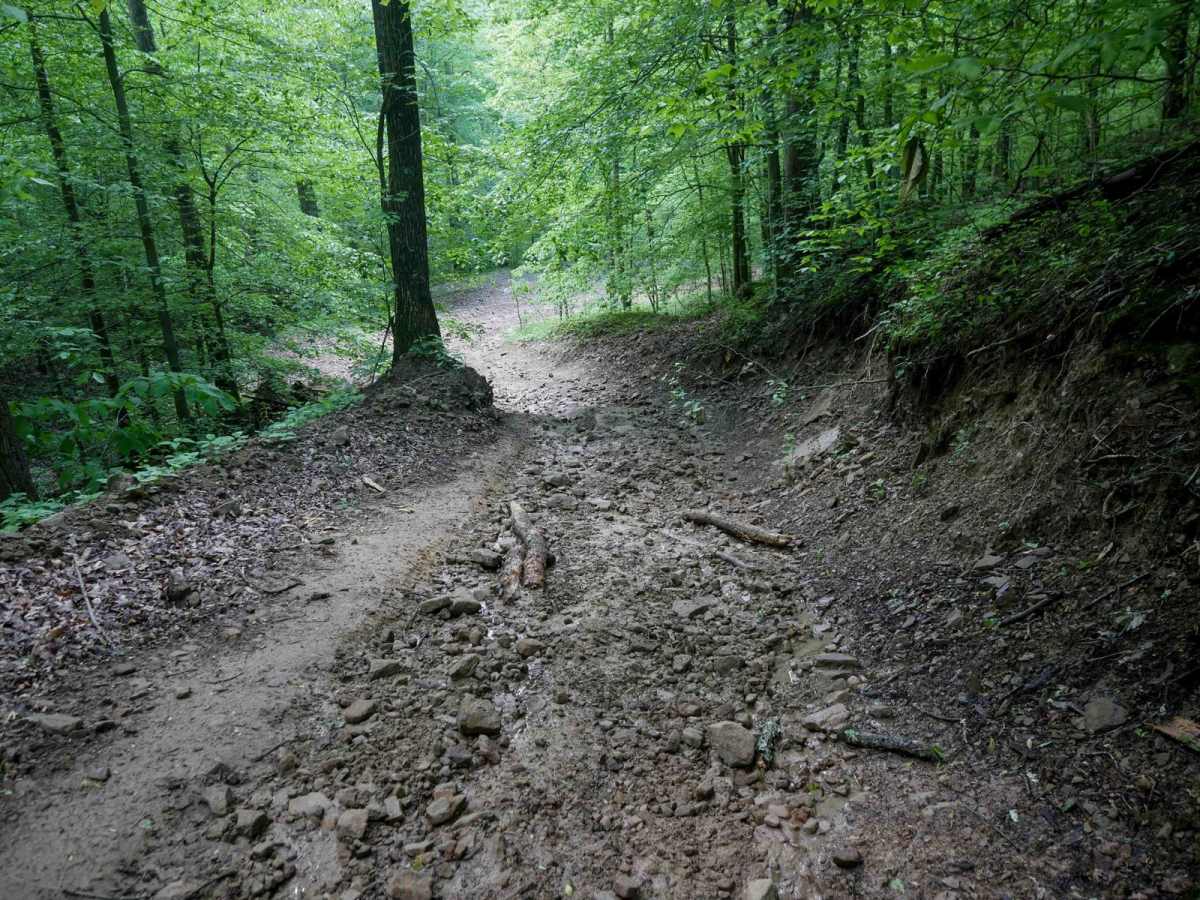
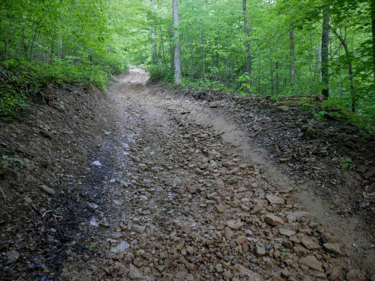
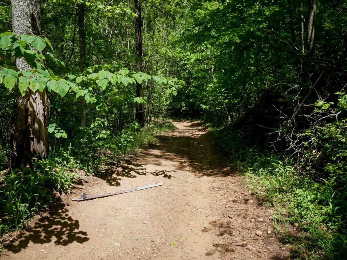
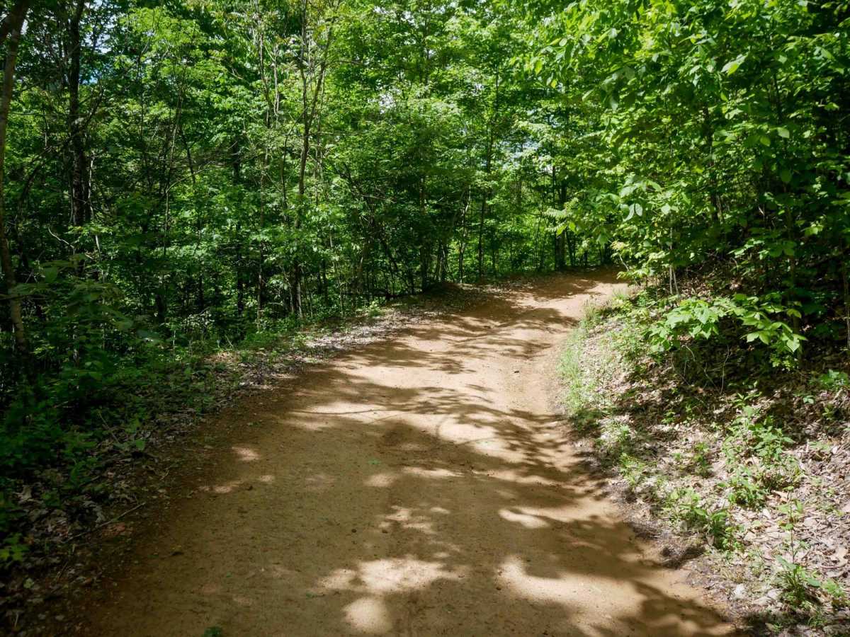
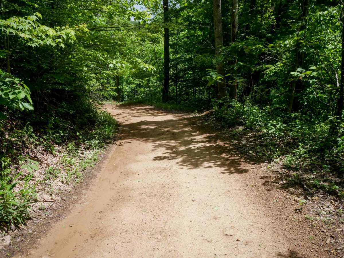
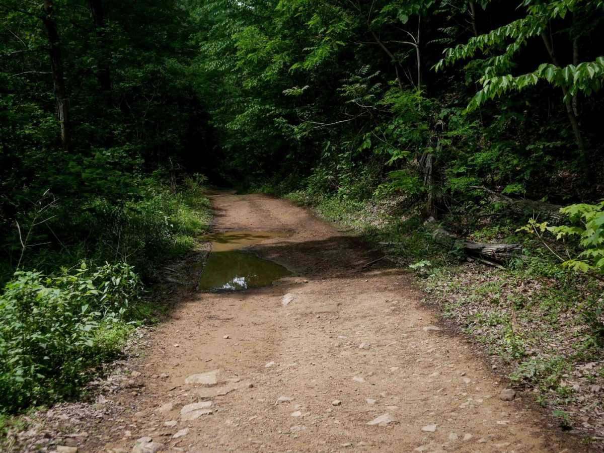
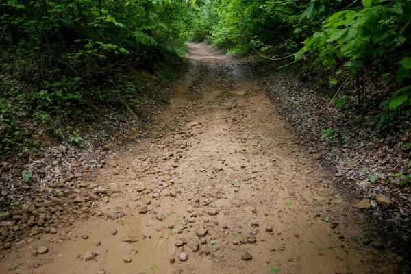
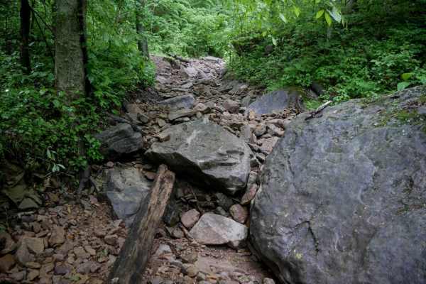
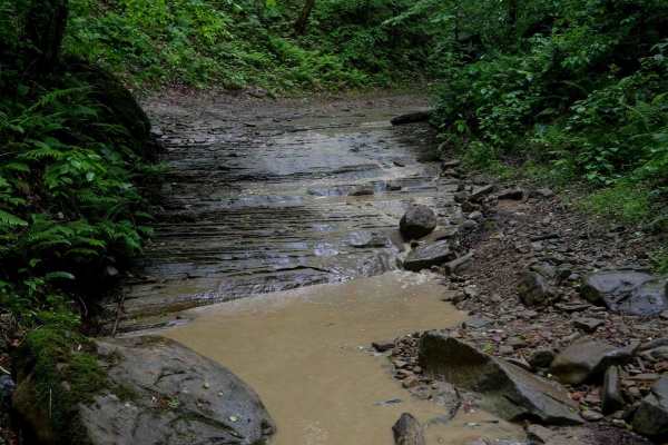
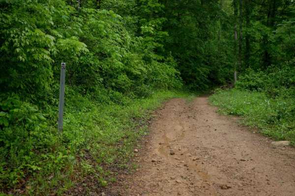
This trail begins at the end of B16 and forms a loop with B37. It's a flat, easy route that descends gently from west to east along the hillside. The surface is mostly smooth with rocks pushed to the sides, shallow ruts, and no major obstacles. Watch for downed logs across the trail. There are a few short sections that are rockier and steeper. The trail also passes near oil and gas infrastructure.

Photos of B36

Difficulty

This is overall an easy trail with minor rocky spots, but ideal for all skill levels. This is considered Moderate by Hatfield McCoy's rating system.

Technical Rating

4

B36 Trail can be accessed by the following ride types:

  • Single Track
  • 50 Inch
  • 60 Inch
  • High Clearance

B36 Map

The onX Offroad Difference

onX Offroad combines trail photos, descriptions, difficulty ratings, width restrictions, seasonality, and more in a user-friendly interface. Available on all devices, with offline access and full compatibility with CarPlay and Android Auto. Discover what you're missing today!

Open Trail Map