Swamp Devil Connection

Total Miles3.3
Technical Rating
3Easy
Best TimeFall, Summer, Spring
Trail TypeFull-Width Road
Accessible By
Open Trail Map

Trail Overview

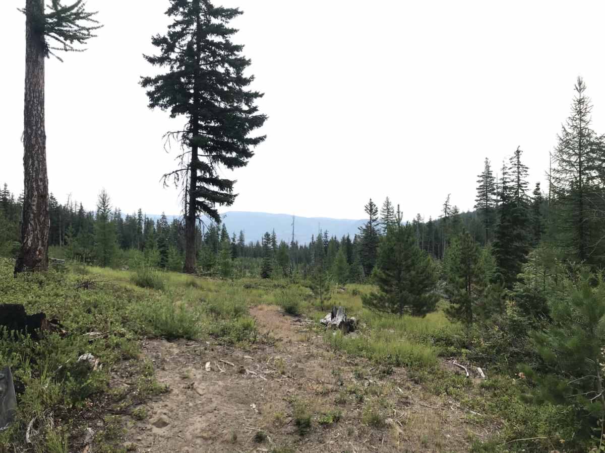
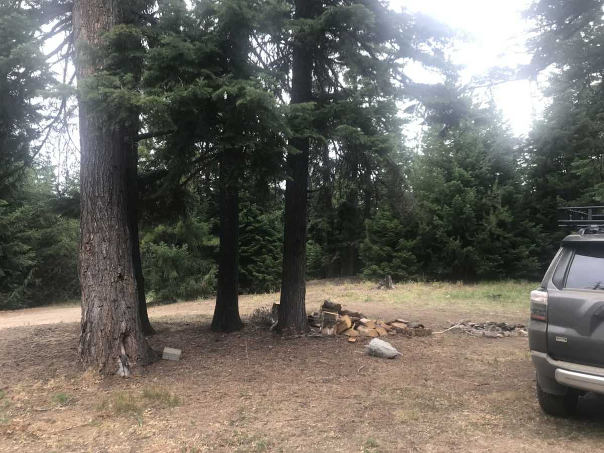
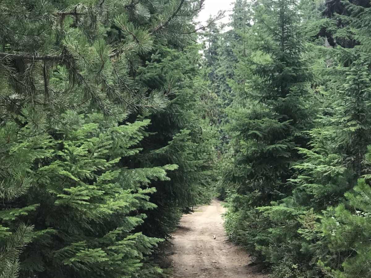
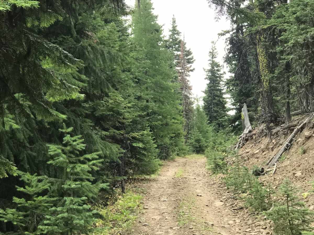
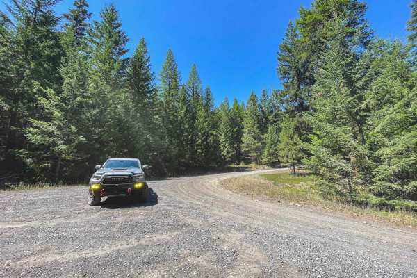
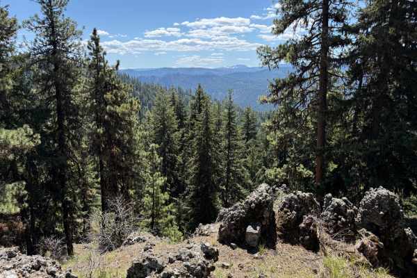
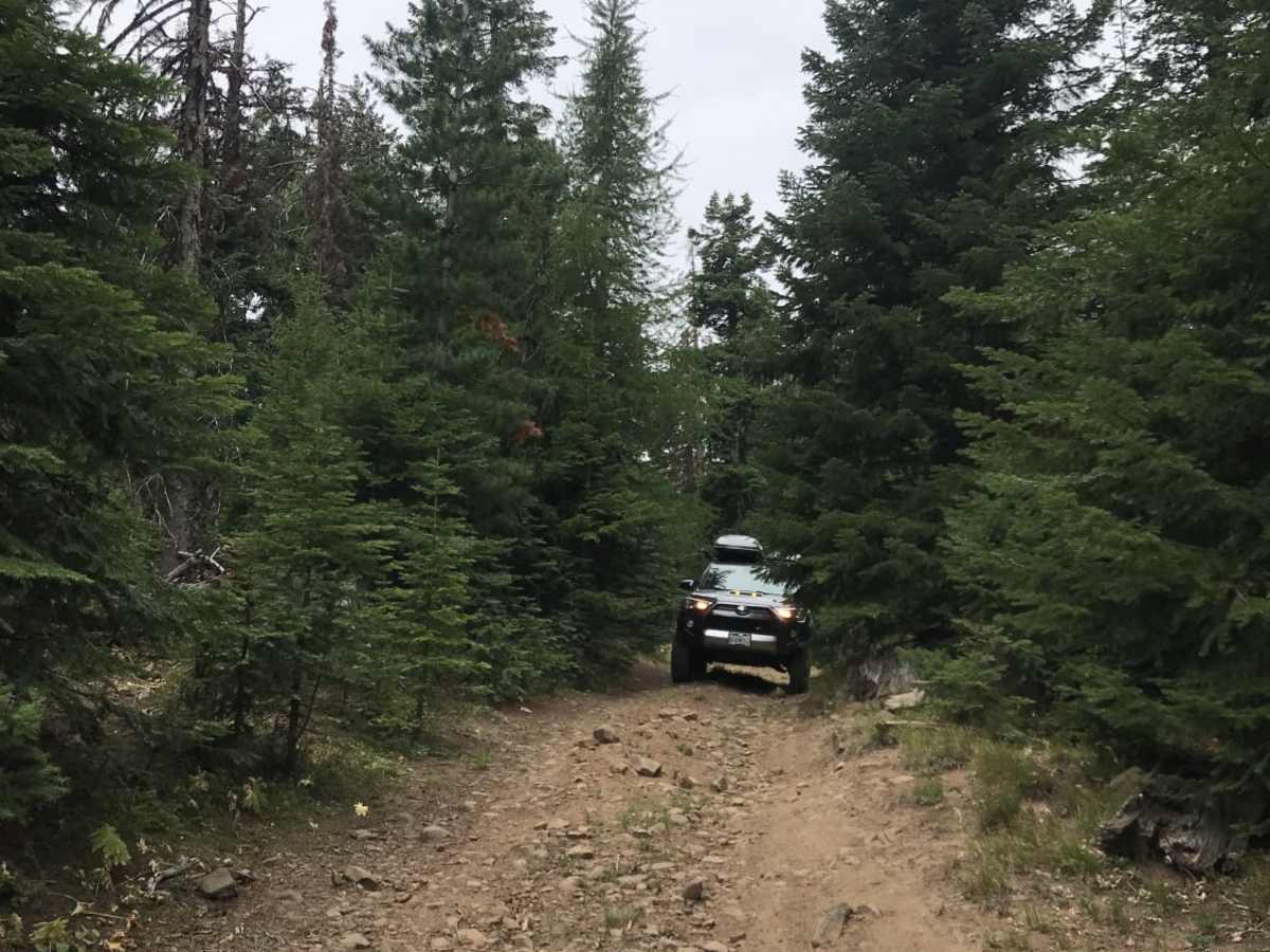
This is a short 3.6-mile connector trail between Devil Creek and Swamp Creek watersheds. This trail is relatively easy in dry conditions and can be traversed with a two-wheel drive vehicle with decent ground clearance. There is one steep ascent/descent (direction-dependent) which is slightly off-camber and has a lot of loose, softball-sized rocks. Aside from that, there is evidence of past mud holes which would be around 12-16 inches deep after a rain event or in the early spring. The trail is narrow, barely wide enough for one vehicle, with turnout/turnaround areas every few hundred yards. The views are excellent but sporadic due to the trees shielding them. Dispersed camping opportunities are plentiful but there's limited surface water availability.

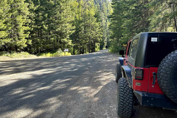
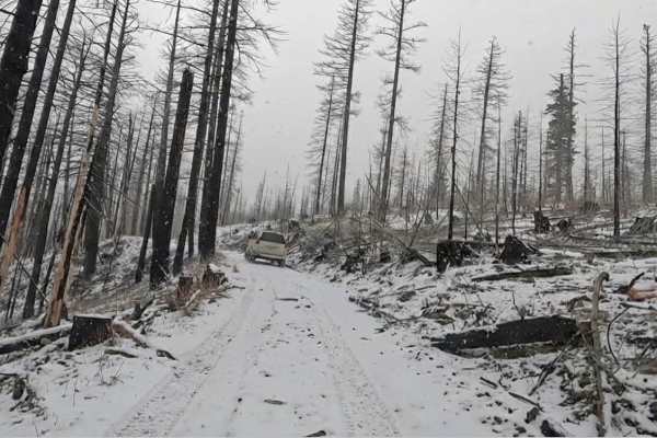
Photos of Swamp Devil Connection

Difficulty

This trail is difficult only in wet/muddy/snowy conditions.

Technical Rating

3

Status Reports

Add Status Report
Jacob Boooker
Jun 18, 2024
Open
Normal
Ran it both directions (mid June). The trail from the swamp side is dry with some small ruts, the grass was high in the swamp. The small hill exiting the swamp was dry with loose cobble, easy with high clearance. Three quarters of the road has fresh gravel and was graded starting right after the small hill leaving the “swamp”.

Swamp Devil Connection Trail can be accessed by the following ride types:

  • Single Track
  • 50 Inch
  • 60 Inch
  • High Clearance
  • Full Width

Swamp Devil Connection Map

The onX Offroad Difference

onX Offroad combines trail photos, descriptions, difficulty ratings, width restrictions, seasonality, and more in a user-friendly interface. Available on all devices, with offline access and full compatibility with CarPlay and Android Auto. Discover what you're missing today!

Open Trail Map