Sinlahekin Mainline Rd

Total Miles5.8
Technical Rating
3Easy
Best TimeSpring, Summer, Fall
Trail TypeFull-Width Road
Accessible By
Open Trail Map

Trail Overview

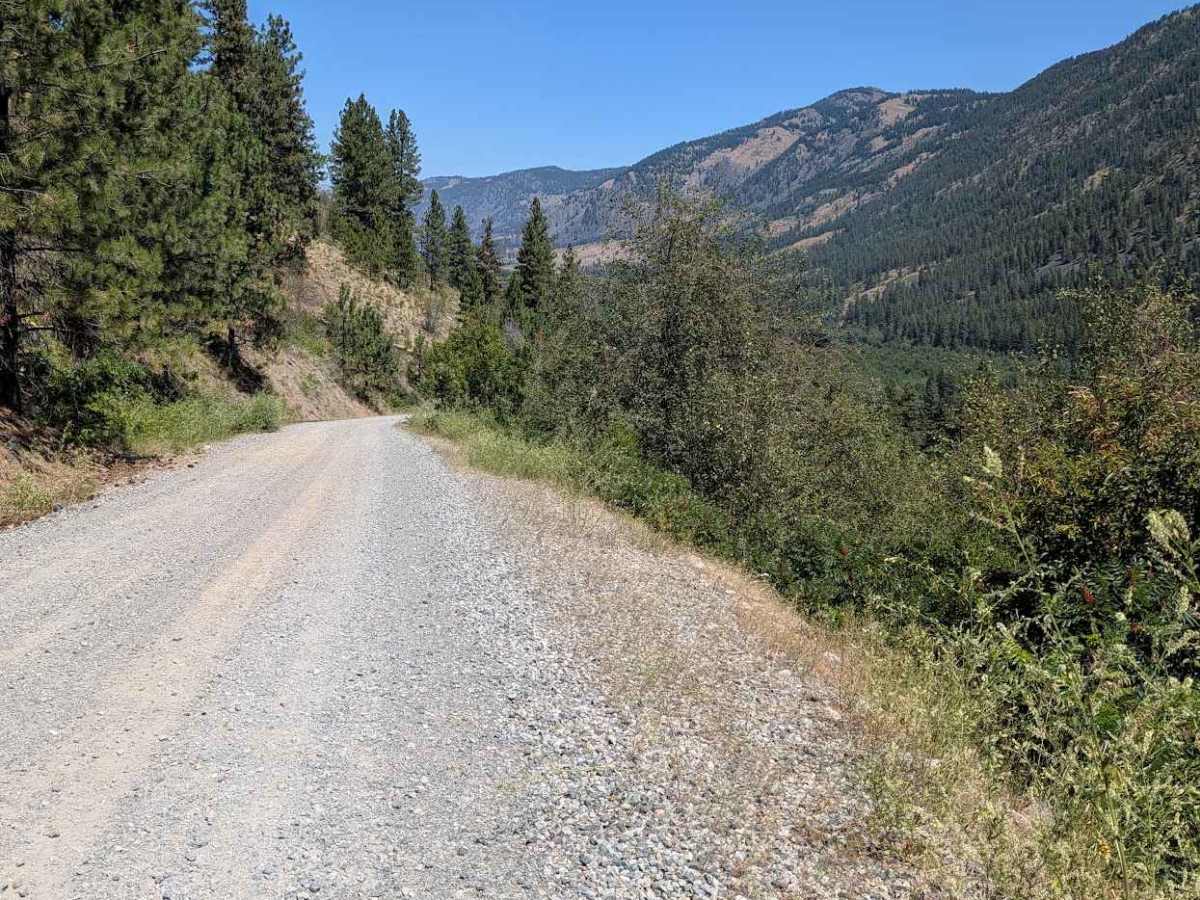
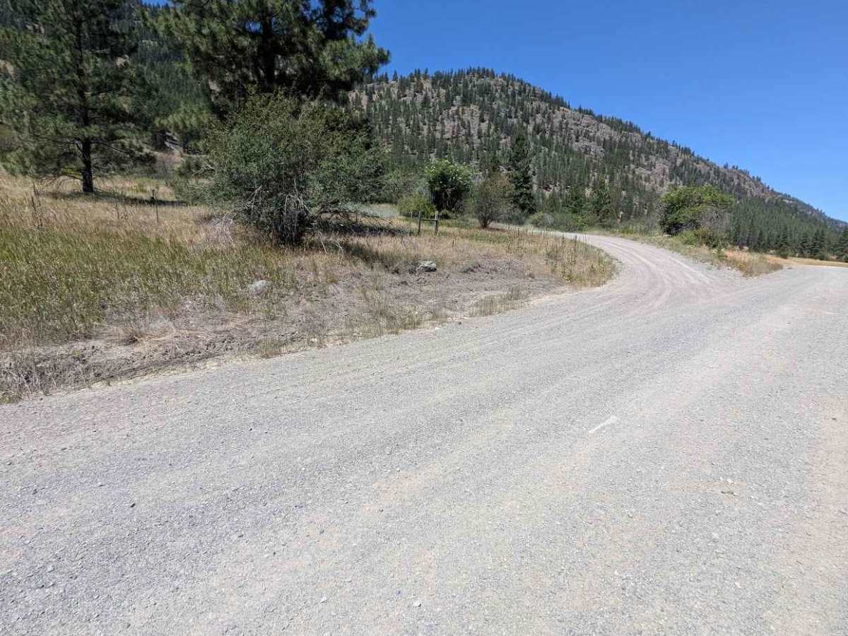
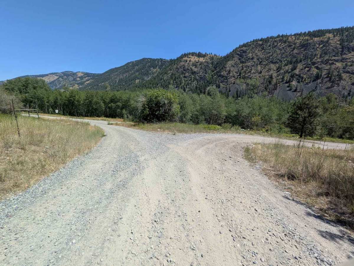
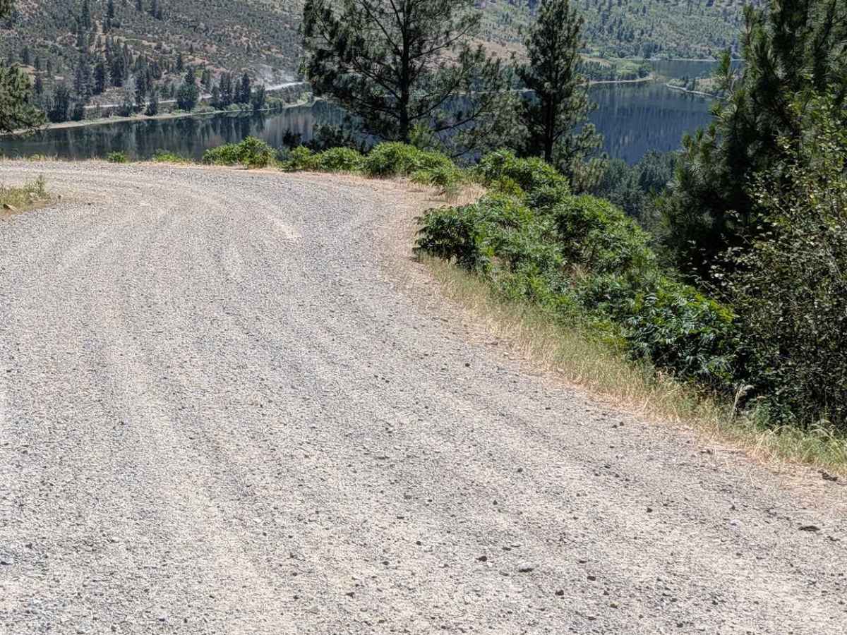
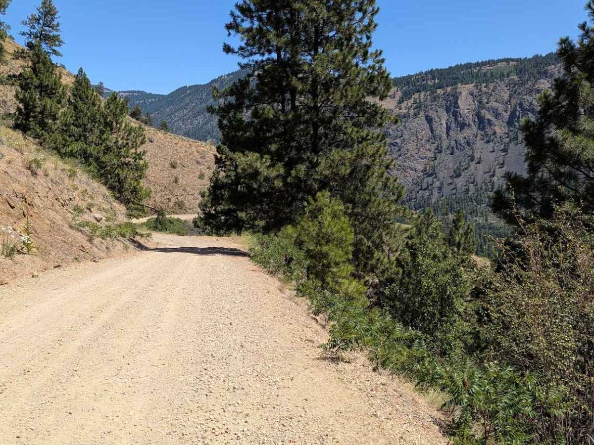
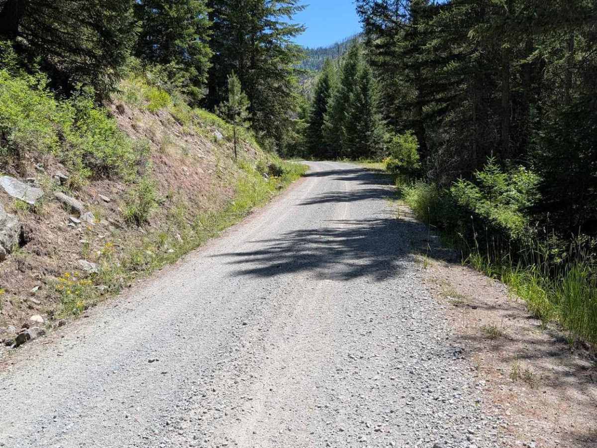
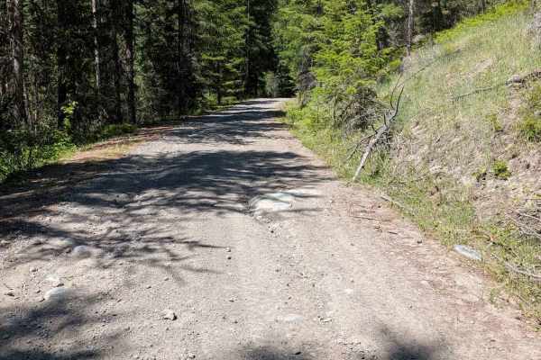
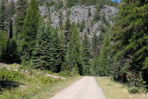
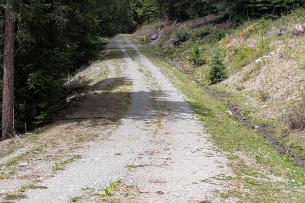
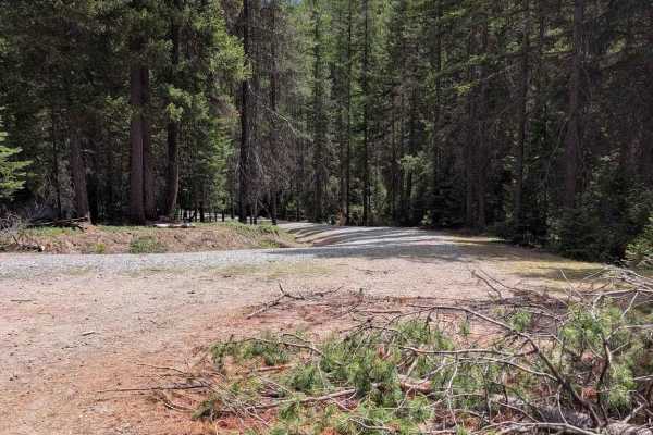
This gravel road begins from the Loomis-Oroville road and climbs for about 5.8 miles before the track ends at a locked gate. It has several sections of erosion damage, including ruts, exposed embedded rocks and loose rocks generally less than six inches high. There were some larger rocks that had been rolled to the side of the road. There are several areas where rocks could roll down the hill onto the road, so moving some could be necessary, Connecting side roads include Bald Butte and Douglas Mtn.

Photos of Sinlahekin Mainline Rd

Difficulty

Rated 3 for road width and erosion damage, including ruts, loose rocks and exposed embedded rocks up to 6 inches high.

Technical Rating

3

Sinlahekin Mainline Rd Trail can be accessed by the following ride types:

  • Single Track
  • 50 Inch
  • 60 Inch
  • High Clearance
  • Full Width

Sinlahekin Mainline Rd Map

The onX Offroad Difference

onX Offroad combines trail photos, descriptions, difficulty ratings, width restrictions, seasonality, and more in a user-friendly interface. Available on all devices, with offline access and full compatibility with CarPlay and Android Auto. Discover what you're missing today!

Open Trail Map