Schooley Creek

Total Miles2.5
Technical Rating
1Easy
Best TimeSpring, Summer, Fall
Trail TypeFull-Width Road
Accessible By
Open Trail Map

Trail Overview

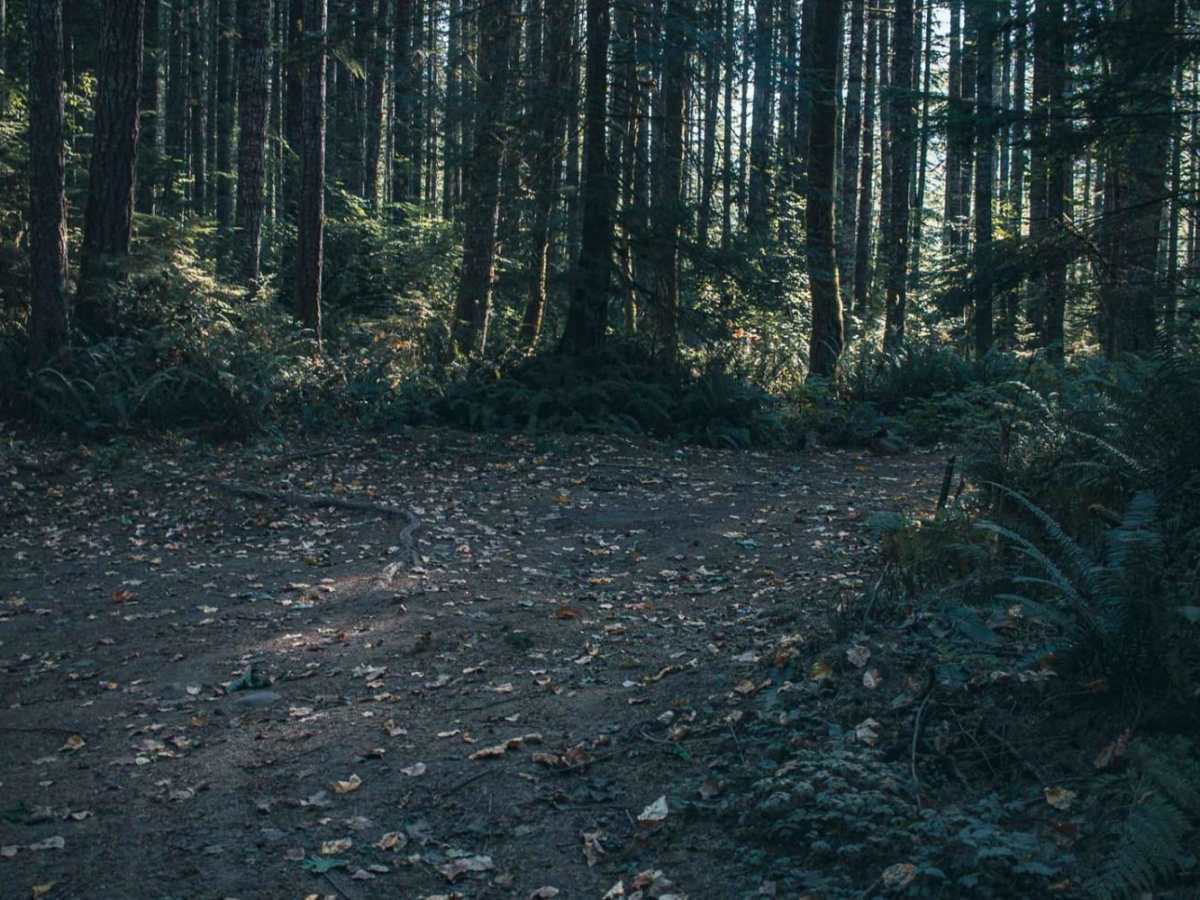
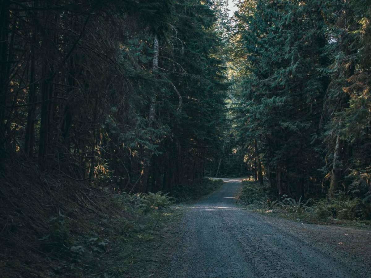
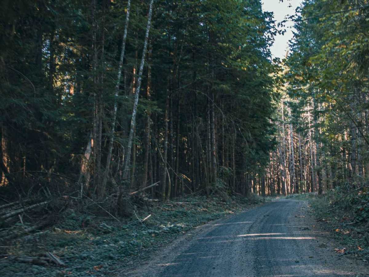
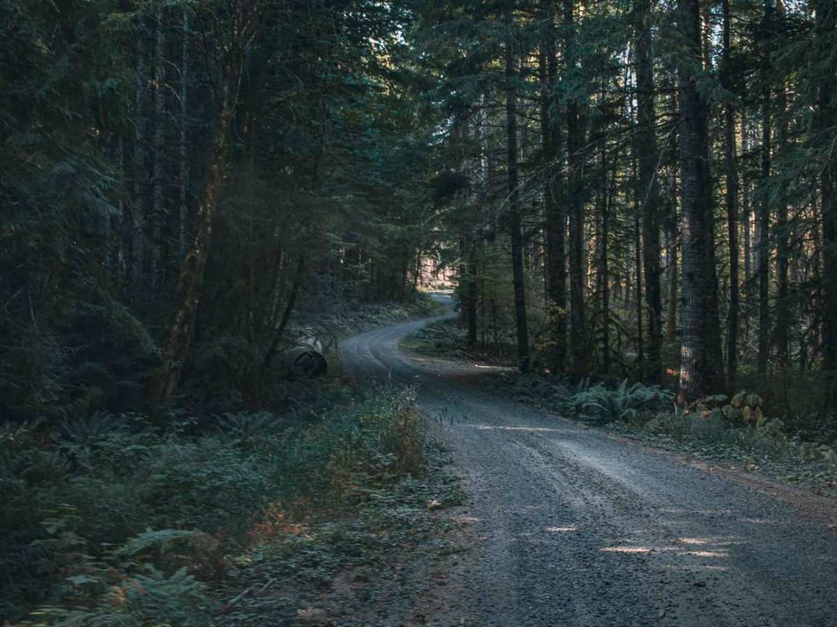
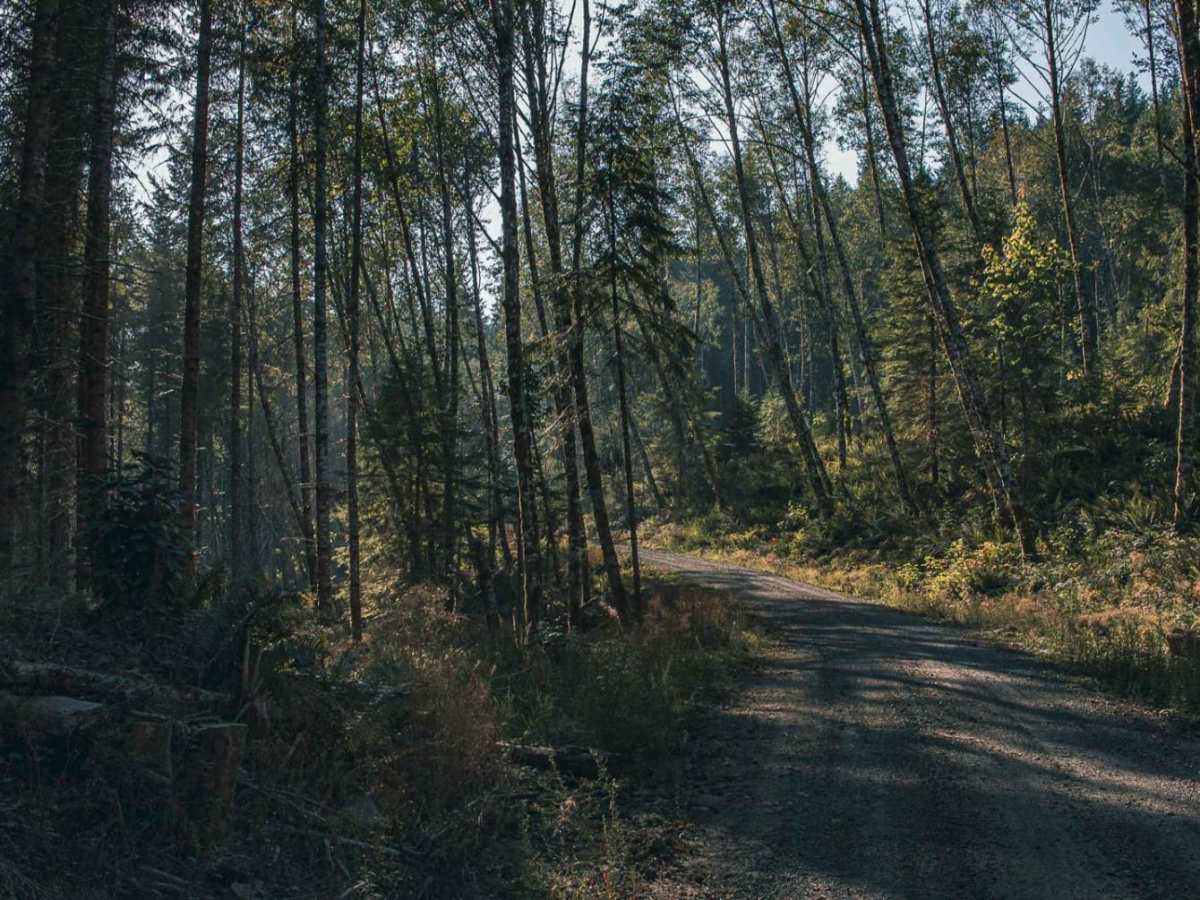
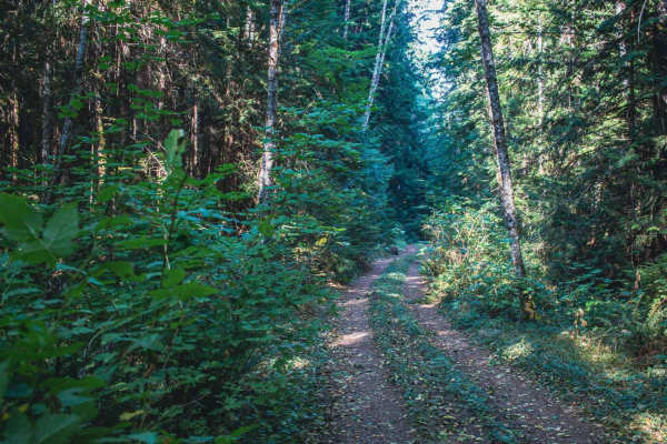
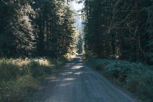
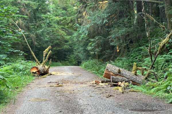
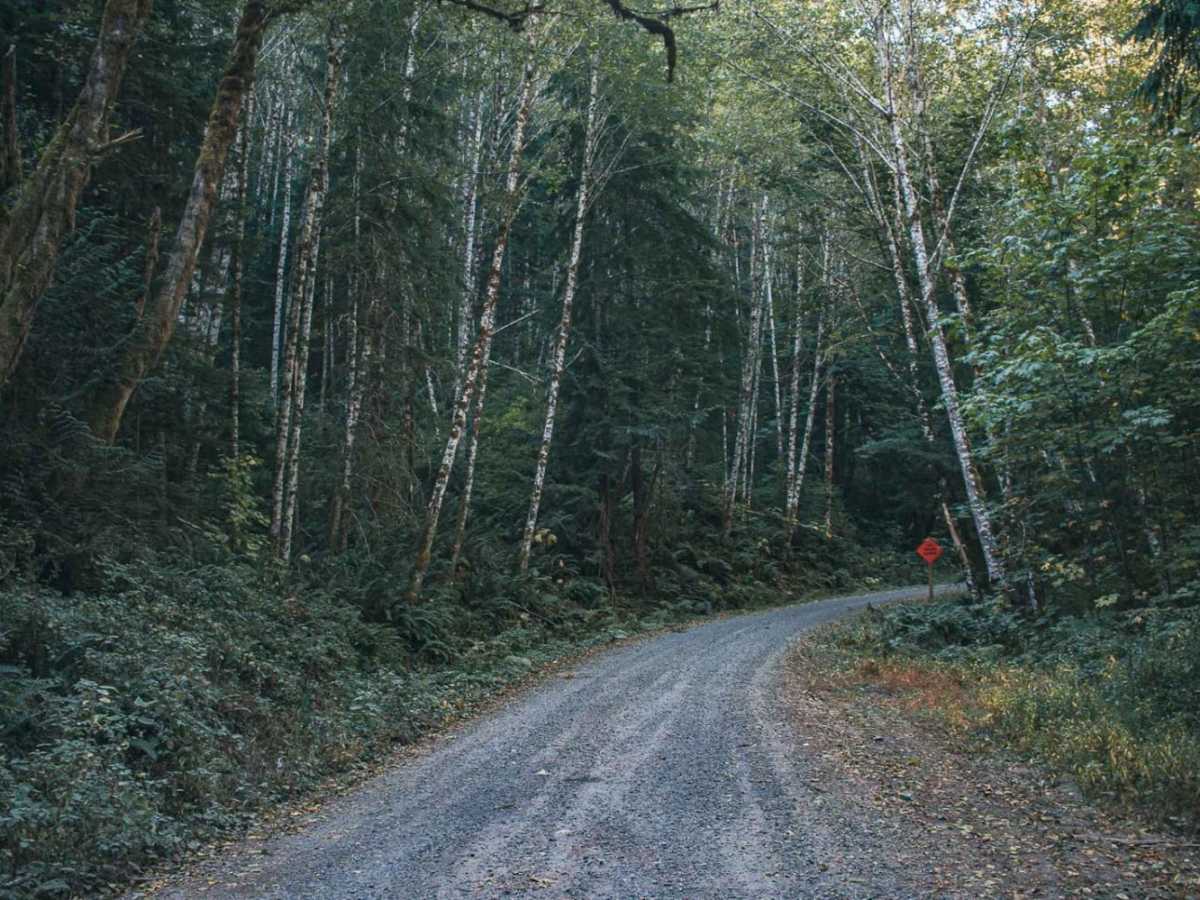
Schooley Creek Road is an easy, scenic 2.5-mile drive through the Gifford Pinchot National Forest. Starting at 1,070 feet, the gravel and dirt route climbs to 1,760 feet with 690 feet of elevation gain. Rated a 1 in technical difficulty, the road is accessible to standard passenger cars and high-clearance two-wheel-drive vehicles during dry seasons. The primary gravel and dirt surface can become muddy during heavy rain or dusty in summer. Dispersed camping is available at several roadside sites near the creek. While there are no major obstacles, watch for standard forest road hazards like potholes, washboarding, and fallen branches. This road is not winter maintained and is impassable due to snow from late autumn through early spring. Nearby recreation includes hiking, fishing, and exploring forest roads near Randle.

Photos of Schooley Creek

Difficulty

Not Winter Maintained

Technical Rating

1

Schooley Creek Trail can be accessed by the following ride types:

  • Single Track
  • 50 Inch
  • 60 Inch
  • High Clearance
  • Full Width

Access Description

Schooley Creek Road is not winter maintained. Seasonal snowpack can make this road impassable during the winter and early spring months.

Schooley Creek Map

The onX Offroad Difference

onX Offroad combines trail photos, descriptions, difficulty ratings, width restrictions, seasonality, and more in a user-friendly interface. Available on all devices, with offline access and full compatibility with CarPlay and Android Auto. Discover what you're missing today!

Open Trail Map