Trail Overview
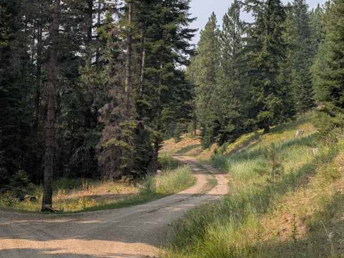
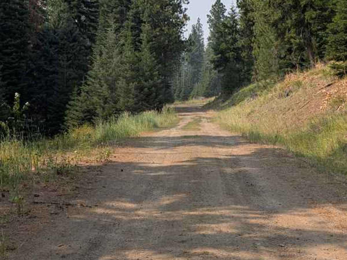
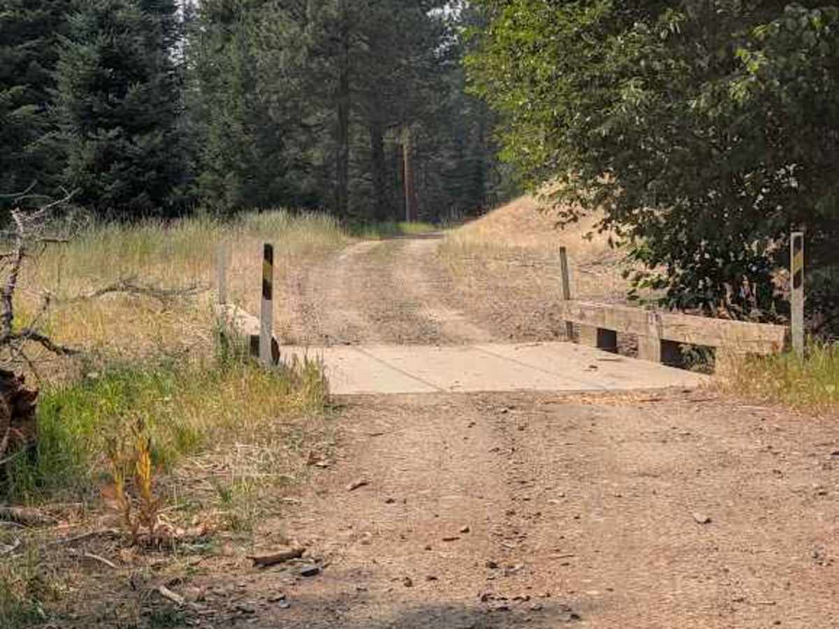
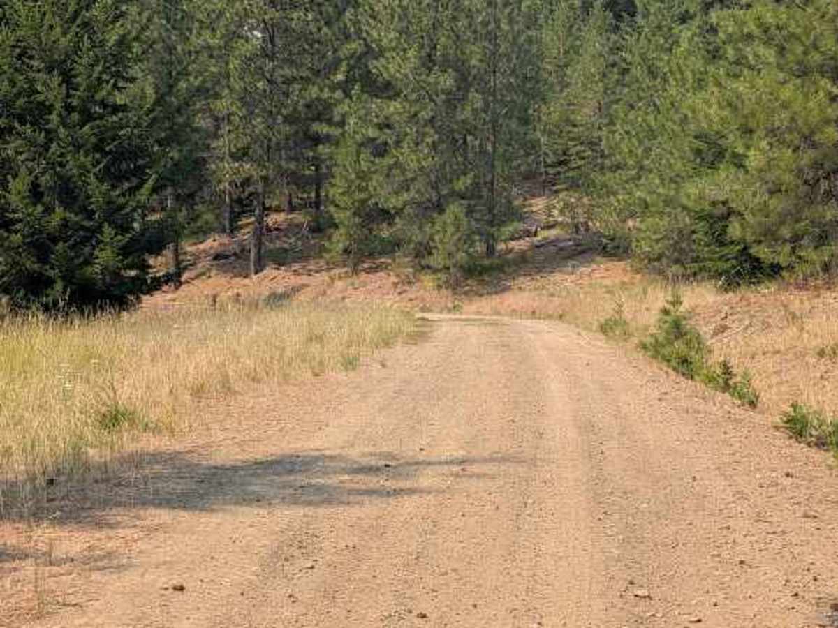
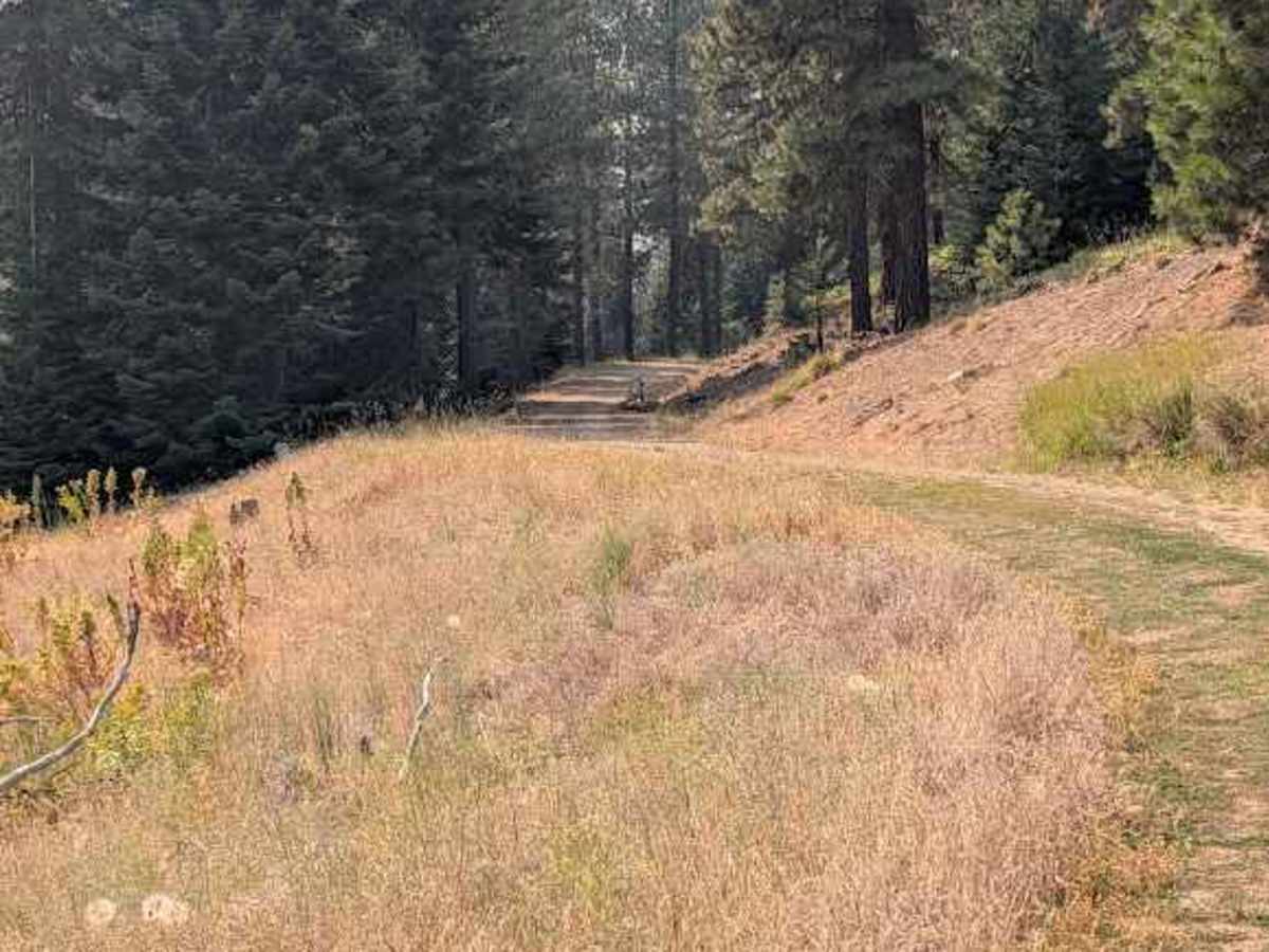
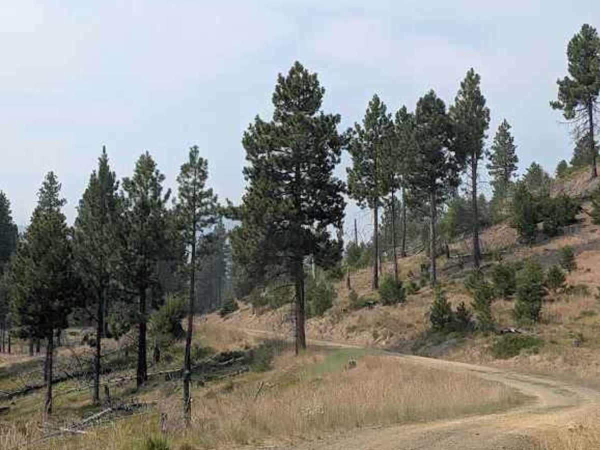
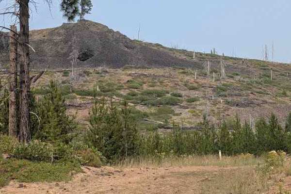
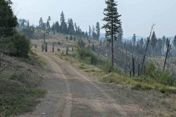
Pearson Creek Road offers scenic and accessible backcountry exploration for high-clearance four-wheel-drive vehicles, SxSs, and dirt bikes looking to experience the serene forests of central Washington. Branching off from Naneum Basin Road, this 2.6-mile route climbs steadily through a mix of dense evergreens and open, sun-drenched meadows. The journey begins as a comfortable 1.5-lane gravel corridor before tapering into a single lane with a surface of dirt, gravel, and loose natural rock. Drivers can expect an easy-to-moderate experience with a technical rating of 3, navigating an elevation gain of approximately 624 feet as the trail ascends from 3,589 feet to a peak of 4,221 feet.
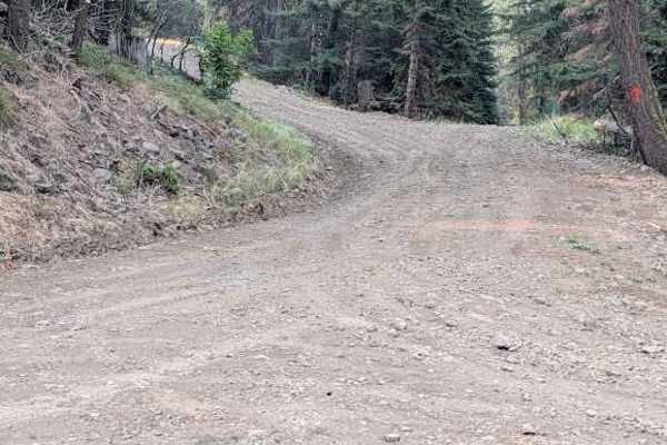
The path is generally smooth and manageable, though offroaders should remain alert for minor obstacles, including embedded stones and loose rock fragments measuring less than six inches. This trail is ideal for stock high-clearance rigs, as the modest gradient reaches a maximum of about six degrees, presenting no major technical challenges. As the track winds deeper into the forest, it eventually terminates at a mapped intersection marking the end of motorized vehicle access, requiring visitors to turn around and retrace their steps. Due to its high-elevation location in the Kittitas County backcountry, winter snowpacks typically restrict access, making late spring through autumn the prime season for exploring this route.