Trail Overview
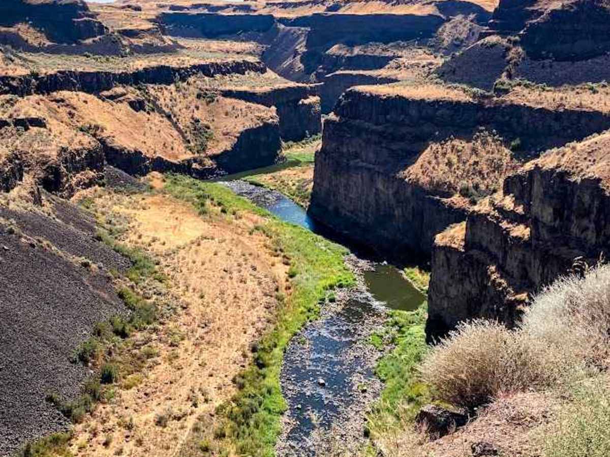
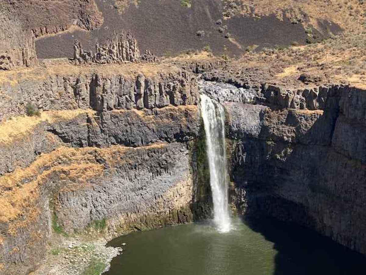
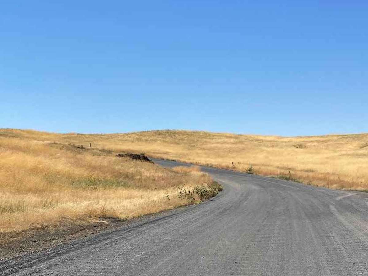
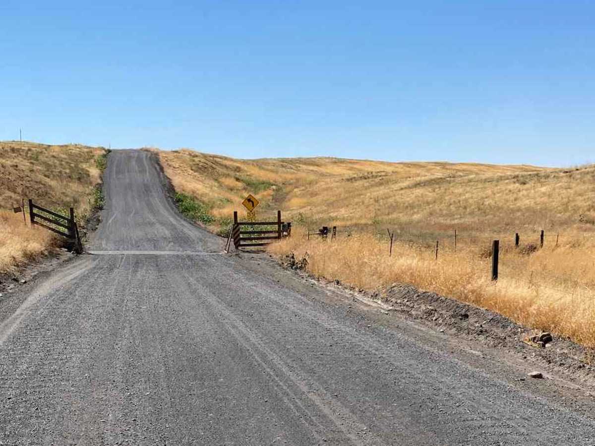
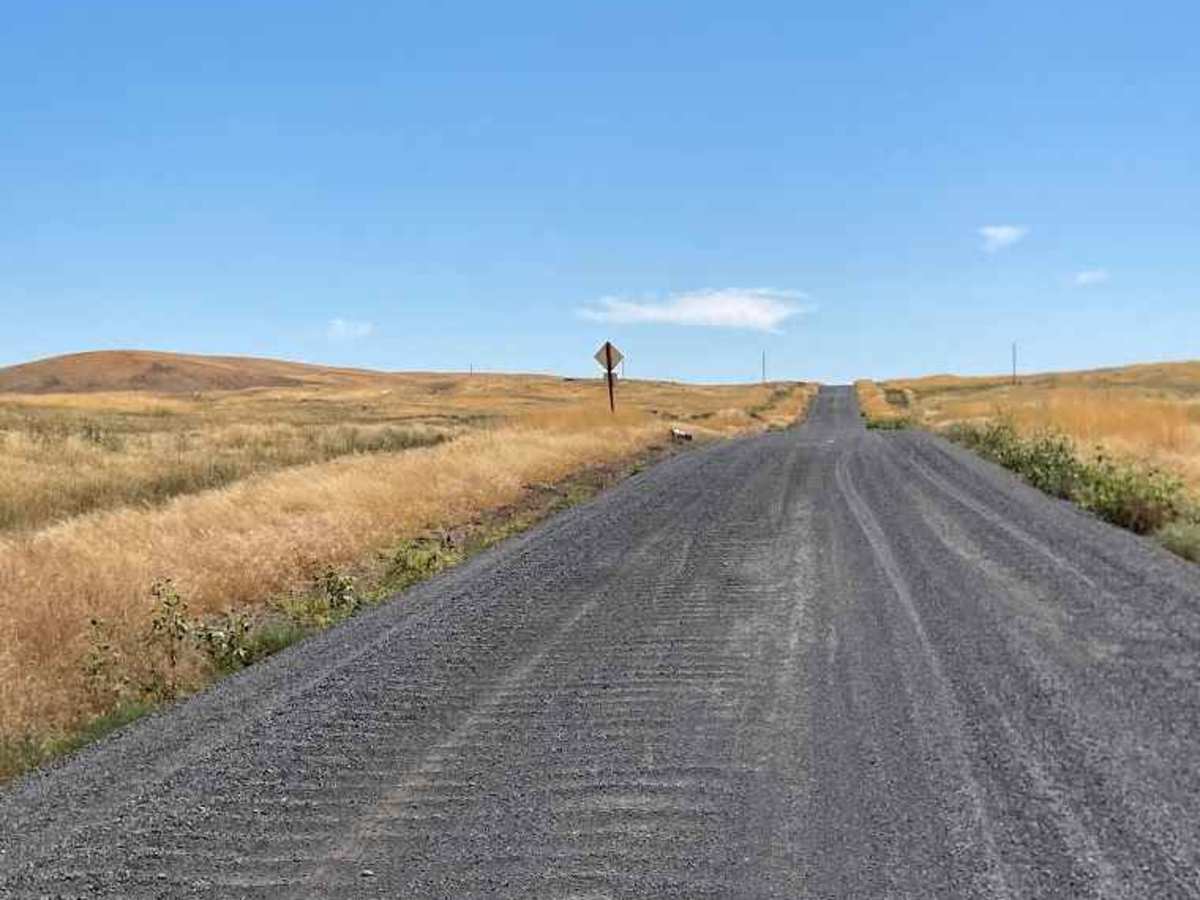
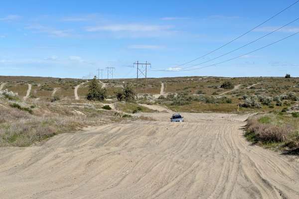
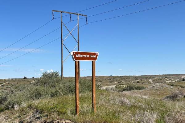
Palouse Falls Road offers a short but scenic off-road experience that leads you straight to one of Washington’s most iconic natural landmarks, Palouse Falls. The route is primarily gravel and packed dirt, with occasional washboard sections and loose rock, making it accessible to most high-clearance vehicles in dry conditions. In wetter months, the clay-rich soil can become slick and muddy, adding a bit more challenge. As you make your way toward the falls, you’ll be treated to wide-open views of the Palouse region’s rolling hills, wheat fields, and dramatic basalt cliffs carved by ancient floods. At the end of the road, the 198-foot Palouse Falls drops into a rugged canyon, a perfect spot for photography, picnics, or simply taking in the raw beauty of eastern Washington. Wildlife sightings are common, including hawks, marmots, and even the occasional herd of deer grazing nearby. This drive is more about the destination than technical difficulty, but it’s a must-do for anyone exploring the area.
History
Geological History: Around 15,000–13,000 years ago, a massive ice sheet blocked the Clark Fork River in present-day Montana, creating Glacial Lake Missoula, a lake roughly the size of Lake Erie. When the ice dam failed, an unimaginable volume of water (up to 500 cubic miles) burst out in a matter of days, rushing across eastern Washington at speeds up to 60 mph. These floods, known as the Missoula Floods, scoured out the Columbia Basin, carving the unique, steep-sided channels now called the Channeled Scablands. In the Palouse Falls area, the floodwaters tore through layers of basalt, creating deep canyons (coulees) and plunging waterfalls. Palouse Falls itself was formed when the flood rerouted the Palouse River into a new channel, forcing it over a basalt cliff into a plunge pool far below. Today, Palouse Falls remains one of the few active waterfalls left from these Ice Age floods, a living reminder of one of the largest and fastest floods in Earth’s history.