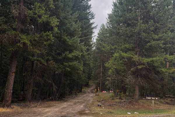
North Fork Hall Creek - FS 2050-600

Total Miles6.4
Technical Rating
3Easy
Best TimeSpring, Summer, Fall, Winter
Trail TypeFull-Width Road
Accessible By
Open Trail Map

Trail Overview

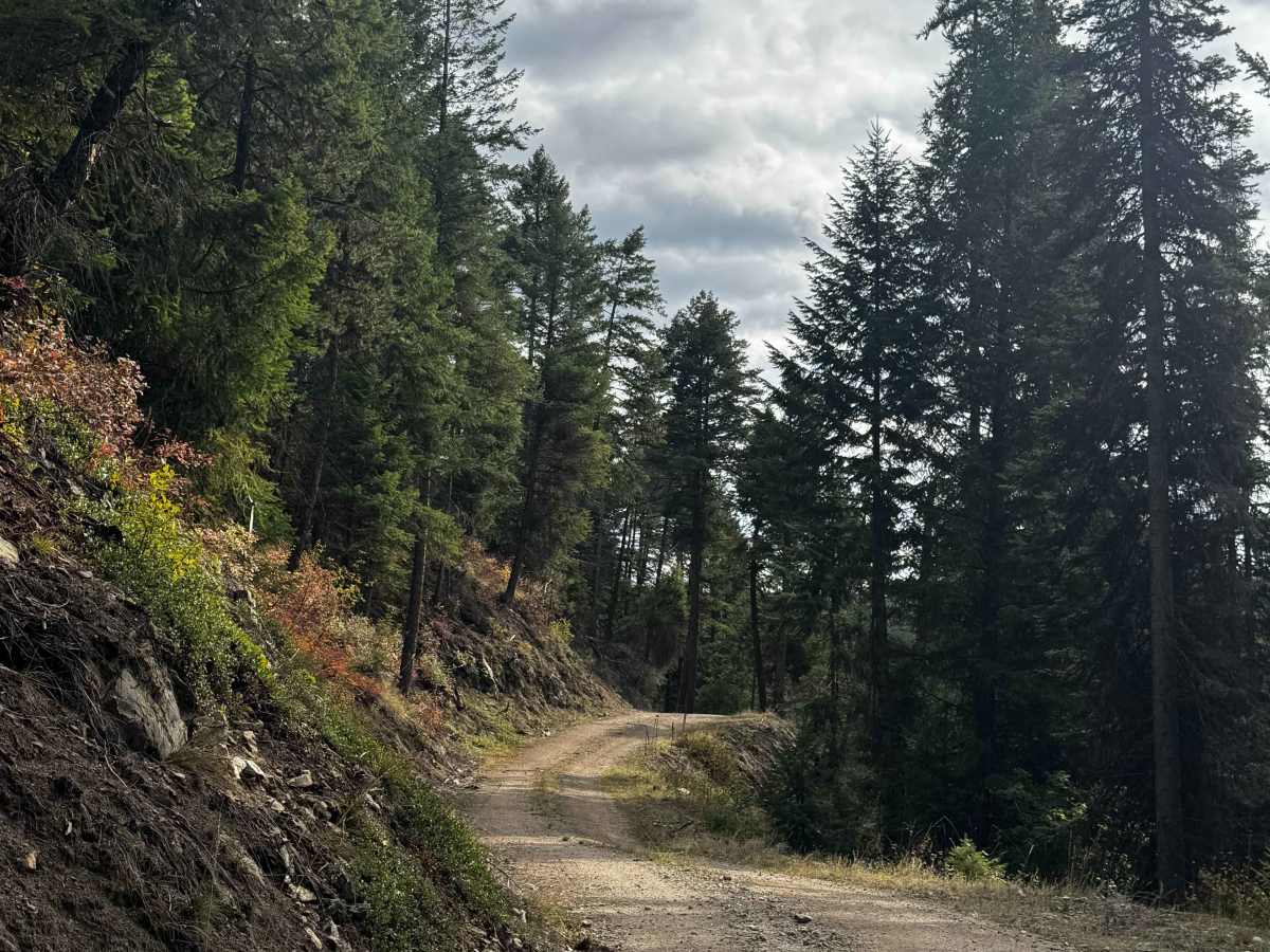
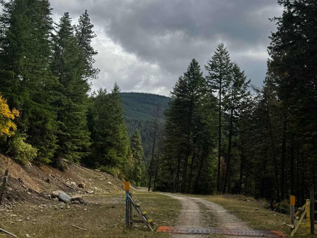
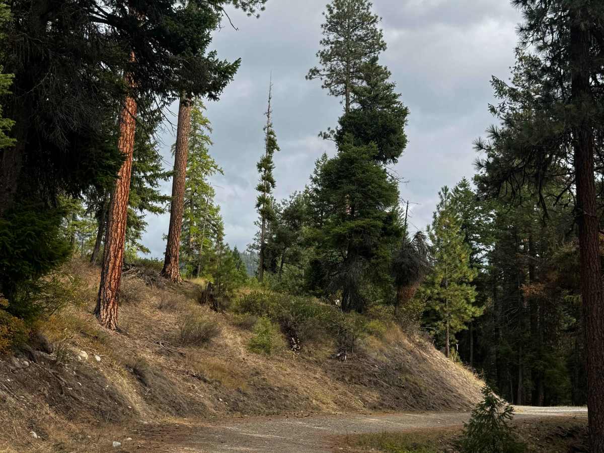
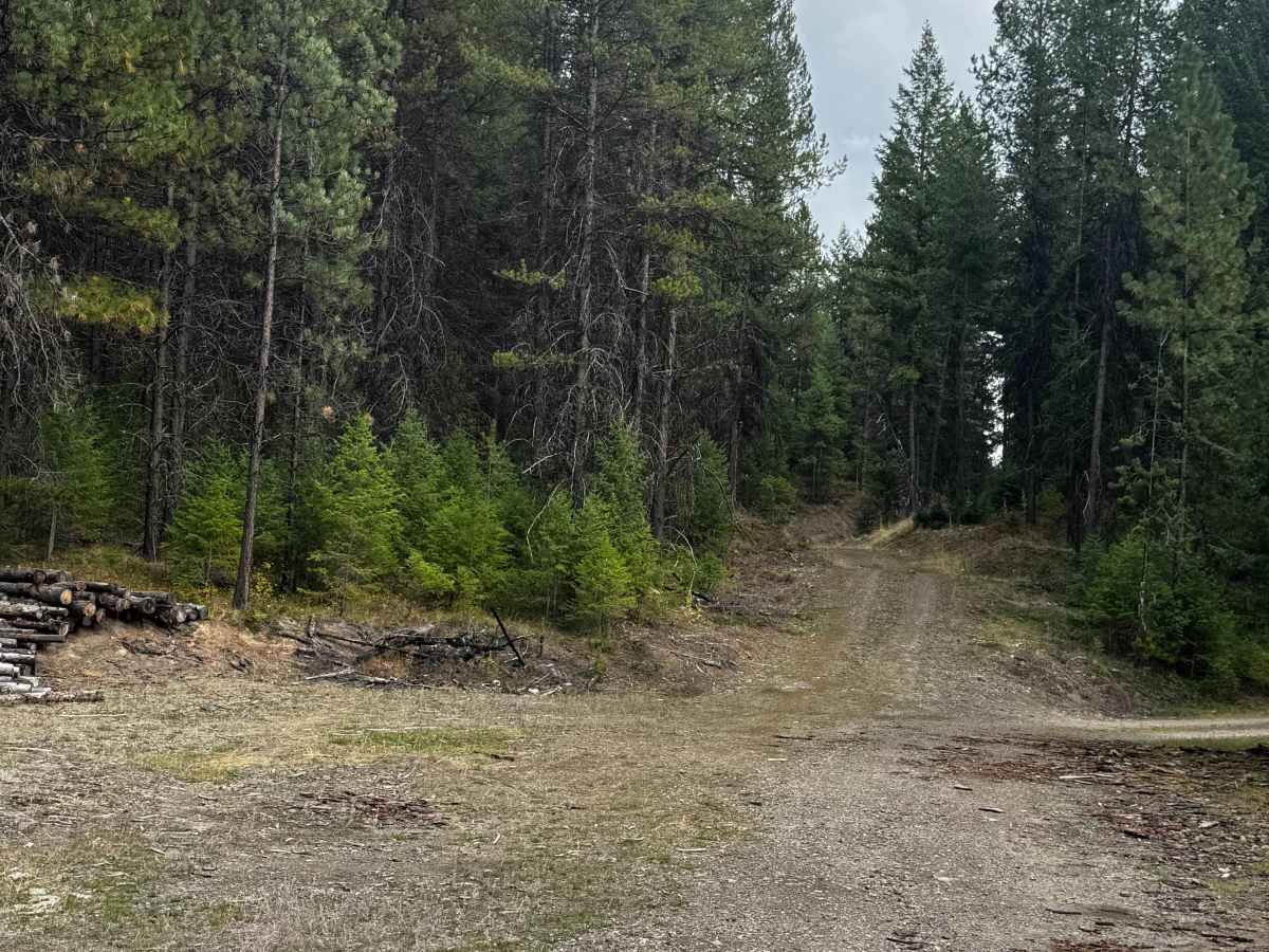
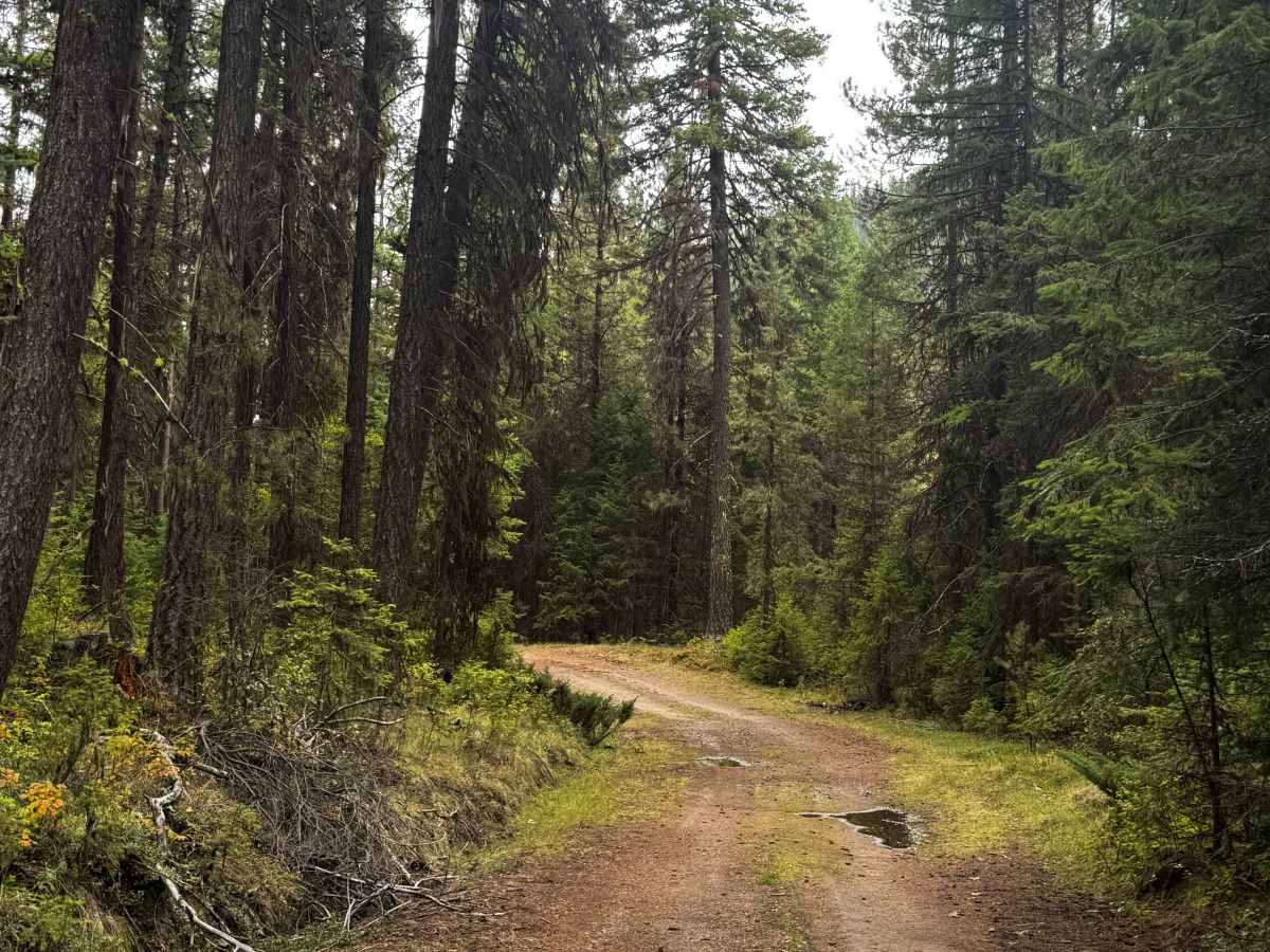
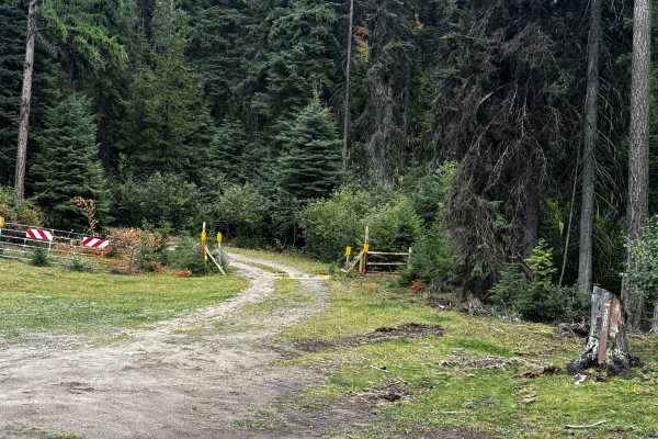
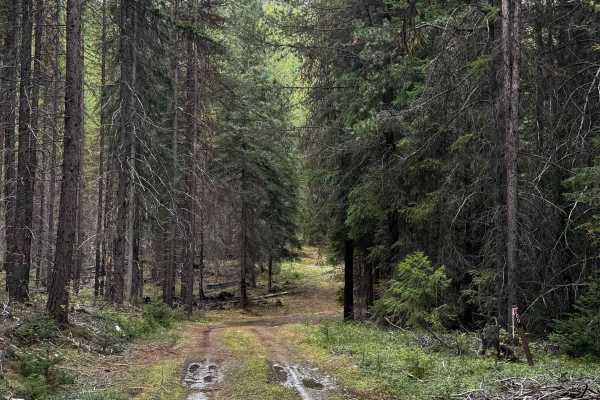
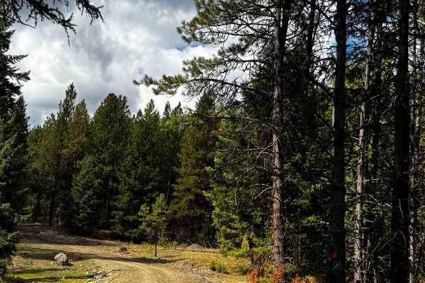
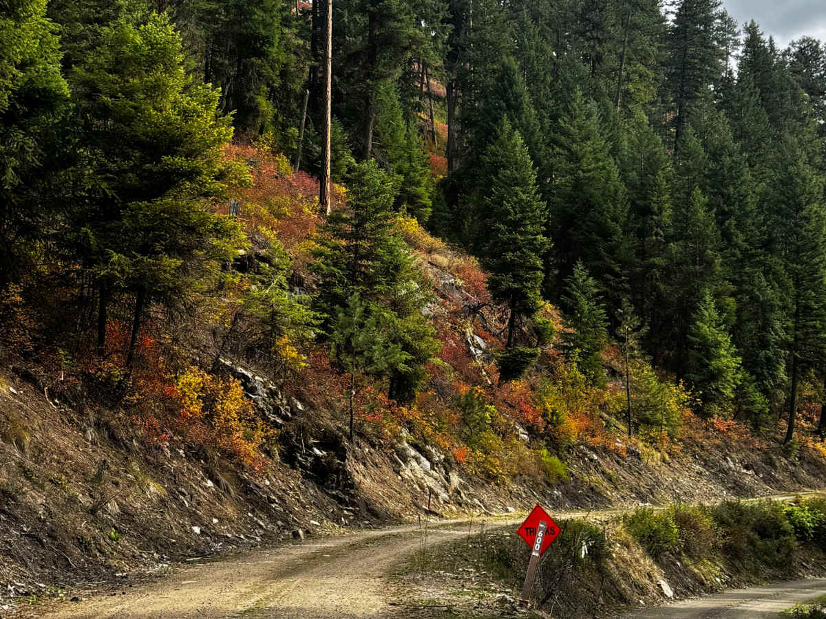
This is a dirt-based forest road that has sections of gravel mixed in. The trail is narrow and one vehicle wide, with places to pass. The trail climbs nearly 850 feet in elevation and passes the Thirteen Mile hiking trail, then loses over 1,000 feet in elevation before dead-ending at the border of tribal lands. The trail has ruts and wash up to a foot deep, some deep potholes, and a couple of mud holes to navigate, but overall this is an easy trail. Camping is allowed along this entire trail, and there are several dispersed campsites along the way. There are no amenities and little cell phone service on the trail, but you will have dense forest views and a view of the surrounding ridges. The nearest services and supplies are located in Republic, Washington, approximately 25 minutes from the start of this trail.

Photos of North Fork Hall Creek - FS 2050-600

Difficulty

Dirt-based forest road with ruts and washouts up to a foot, a couple of mud holes, and some deep potholes. The trail ends at the border of tribal lands.

Technical Rating

3

North Fork Hall Creek - FS 2050-600 Trail can be accessed by the following ride types:

  • High Clearance
  • Full Width

North Fork Hall Creek - FS 2050-600 Map

The onX Offroad Difference

onX Offroad combines trail photos, descriptions, difficulty ratings, width restrictions, seasonality, and more in a user-friendly interface. Available on all devices, with offline access and full compatibility with CarPlay and Android Auto. Discover what you're missing today!

Open Trail Map