Naneum Basin Road

Total Miles11
Technical Rating
4Moderate
Best TimeSpring, Summer, Fall
Trail TypeFull-Width Road
Accessible By
Open Trail Map

Trail Overview

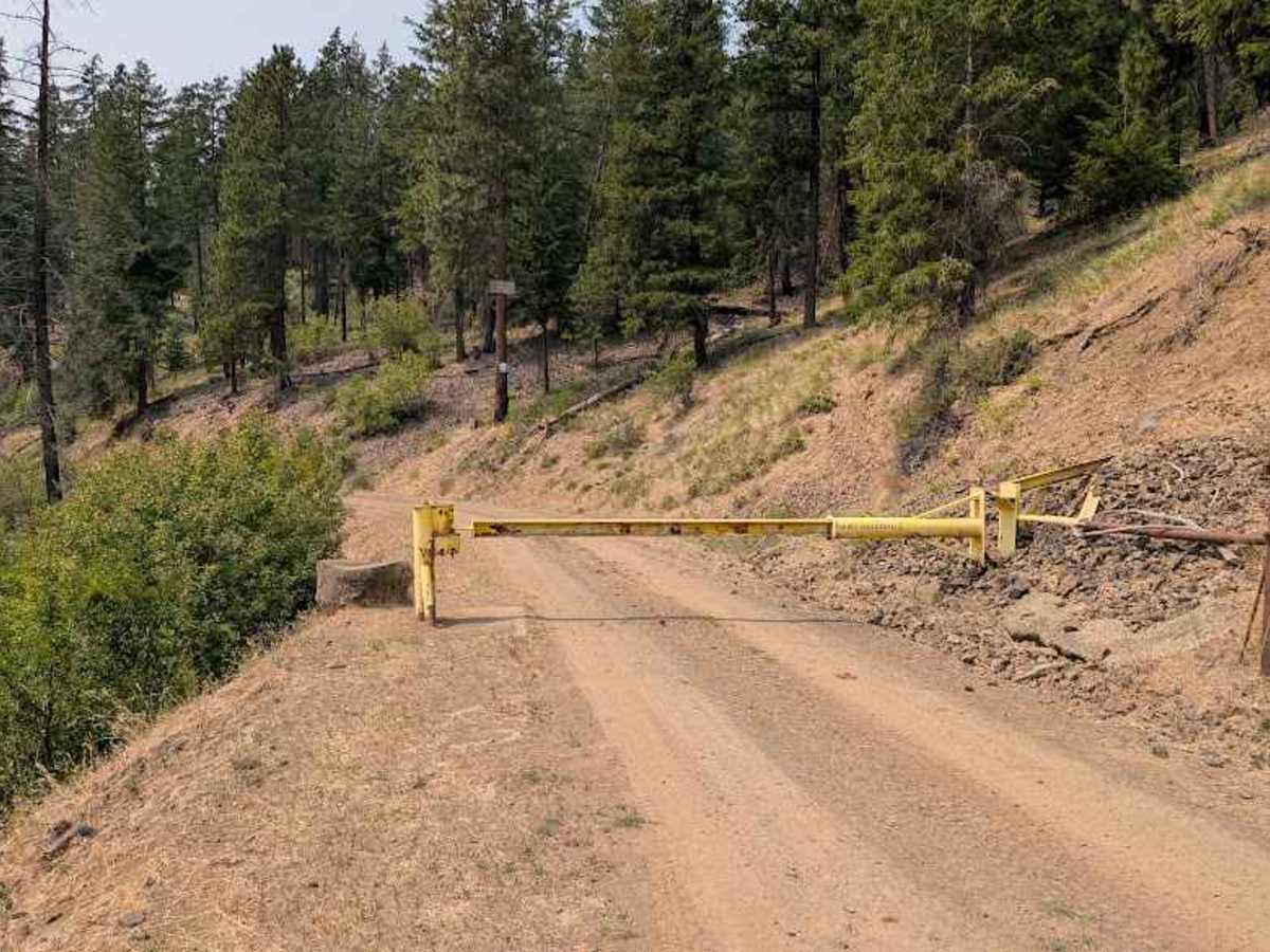
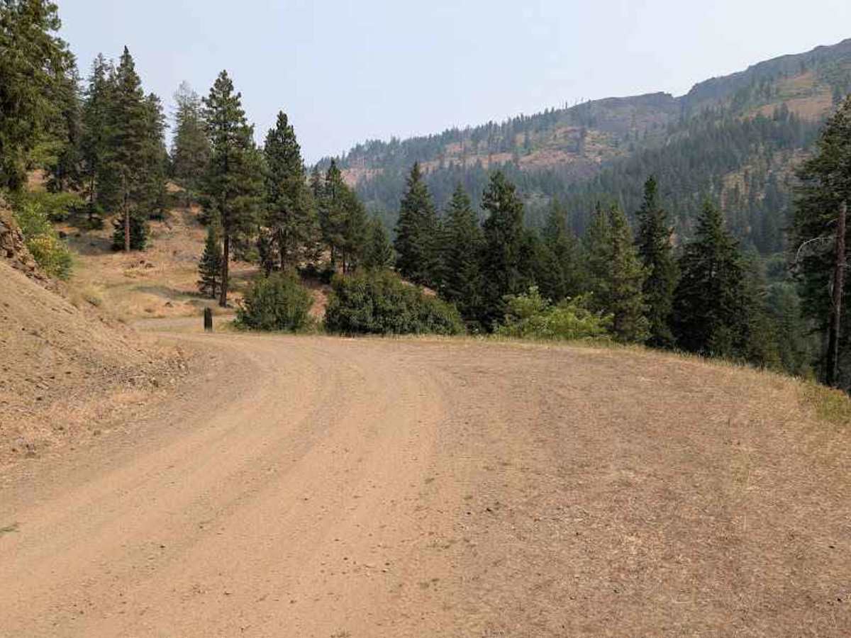
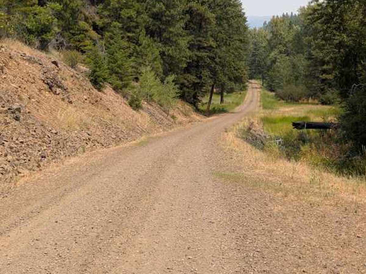
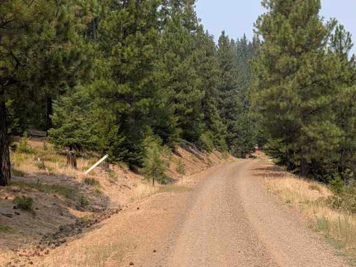
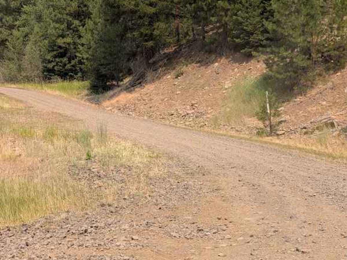
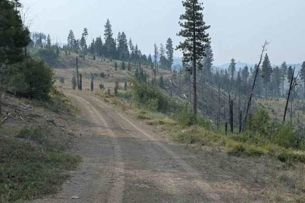
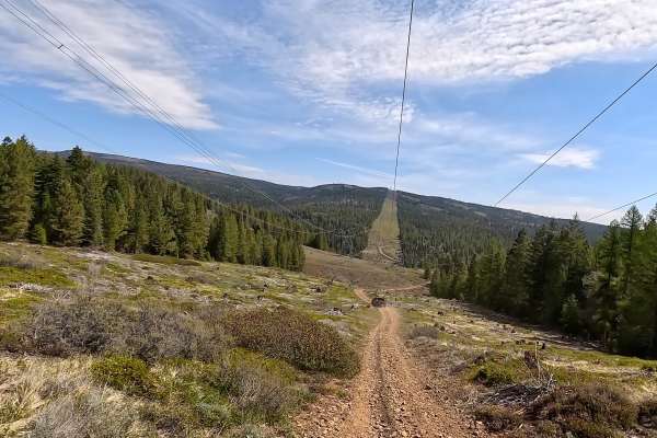
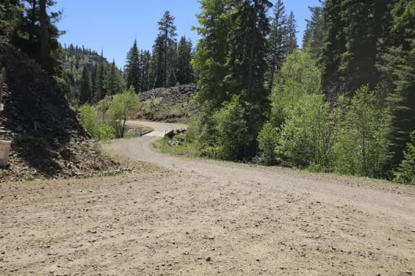
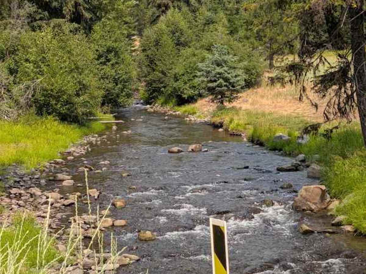
The section of this road south of the northern bridge is easy 1.5-lane gravel to the gate where public access ends, with some nice dispersed campsites along the creek. North of that bridge, it becomes single-lane natural surface that gets rougher the further it goes. There are some abrupt water bars up to 24" high along with significant sections of erosion damage, exposed embedded and loose rocks up to 18" deep or high. Expect overgrown sections and a couple spots with low overhead clearance.

Photos of Naneum Basin Road

Difficulty

Abrupt water bars up to 24" high, erosion, large rocks, overgrowth and low overhead clearance

Technical Rating

4

Naneum Basin Road Trail can be accessed by the following ride types:

  • Single Track
  • 50 Inch
  • 60 Inch
  • High Clearance
  • Full Width

Naneum Basin Road Map

The onX Offroad Difference

onX Offroad combines trail photos, descriptions, difficulty ratings, width restrictions, seasonality, and more in a user-friendly interface. Available on all devices, with offline access and full compatibility with CarPlay and Android Auto. Discover what you're missing today!

Open Trail Map