Trail Overview
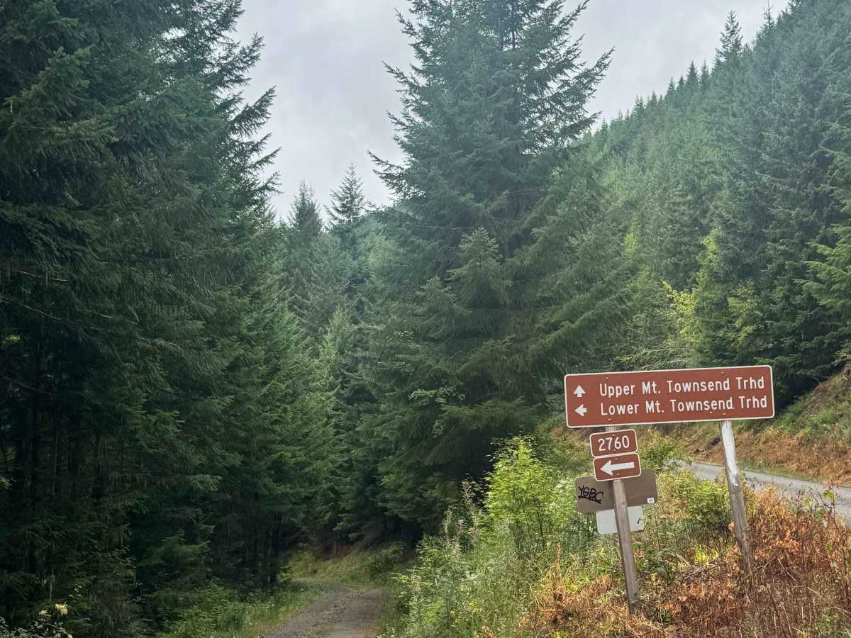
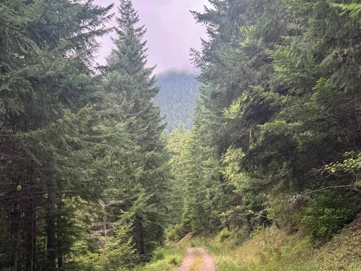
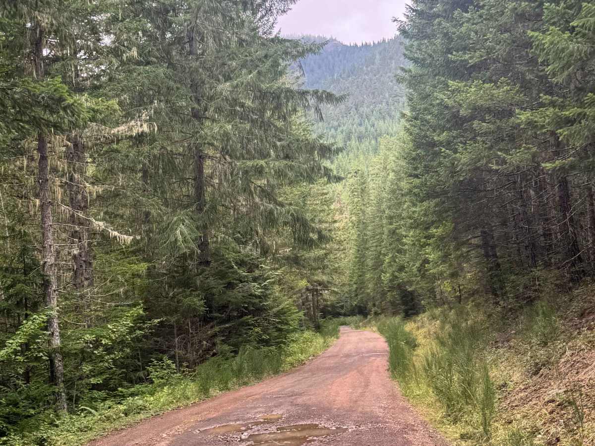
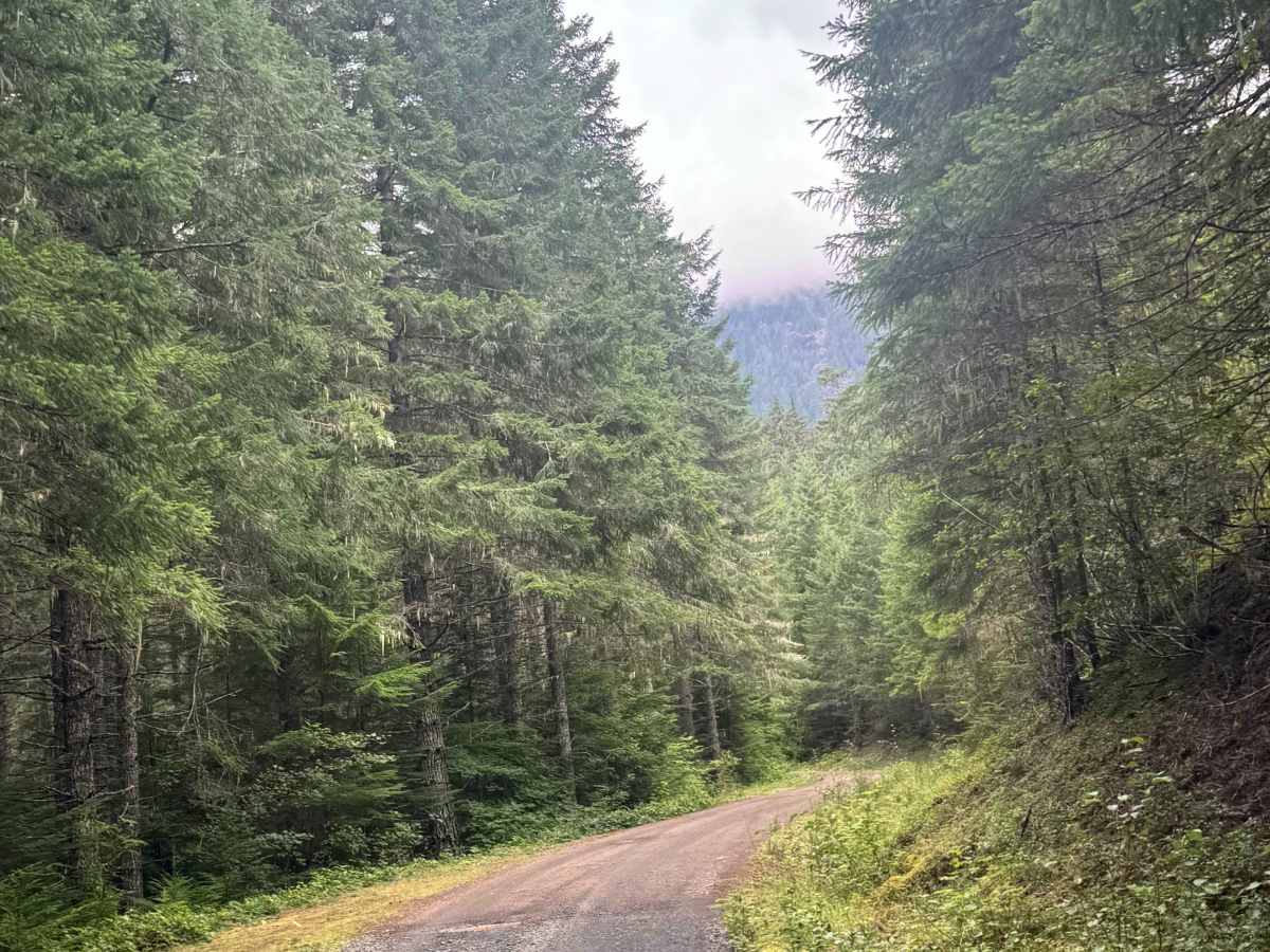
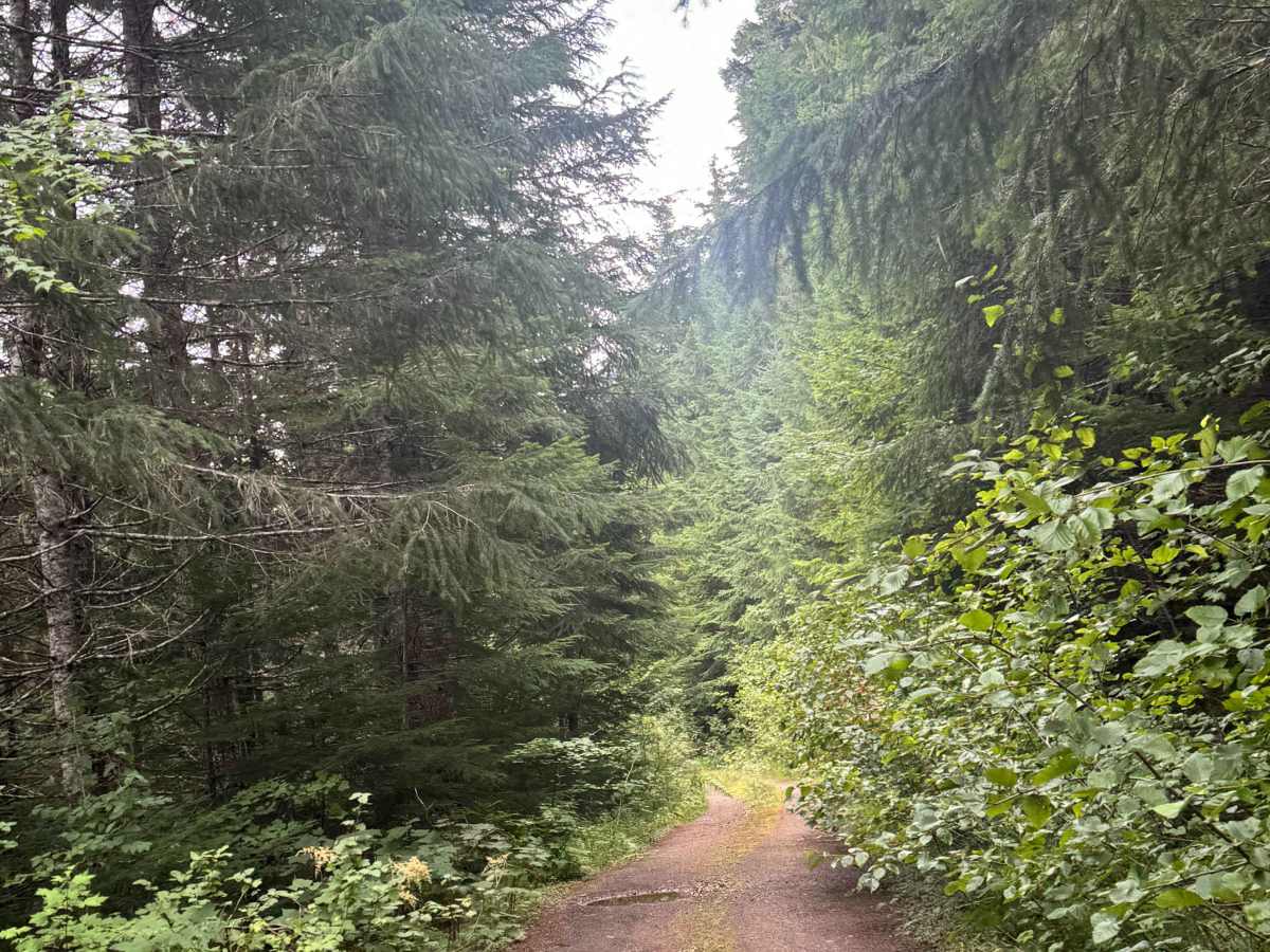
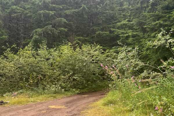
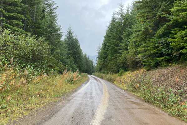
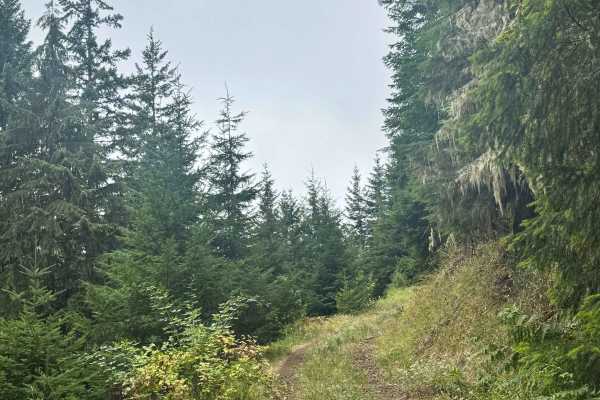
This trail starts off as a wide and gravel-based forest road. After it passes the Mt. Townsend hiking trail, it narrows and transitions to a dirt base. The trail then narrows to one vehicle-wide, with places to pass. As the trail gradually climbs nearly 650 feet in elevation, you will have to navigate overgrown vegetation and many potholes. Camping is allowed along this trail, and there is a dispersed campsite where this trail dead-ends. You will have dense forest views with the occasional view of the ridges around you. There are no amenities and very little cell phone service on the trail. The nearest services are approximately 35 minutes from the beginning of this trail in Quilcene.
Difficulty
Forest road that starts off wide and gravel-based, then narrows and transitions to dirt. Overgrown vegetation lines much of the trail, and there are many potholes along the trail. Overall, this is an easy trail suitable for any vehicle type.