FS 4150-400

Total Miles2.2
Technical Rating
4Moderate
Best TimeSpring, Summer, Fall
Trail TypeFull-Width Road
Accessible By
Open Trail Map

Trail Overview

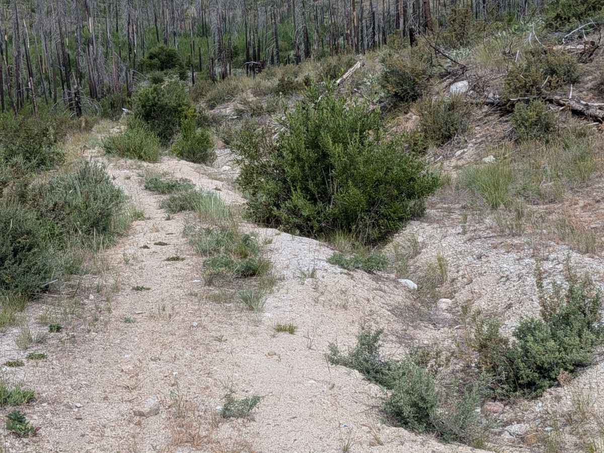
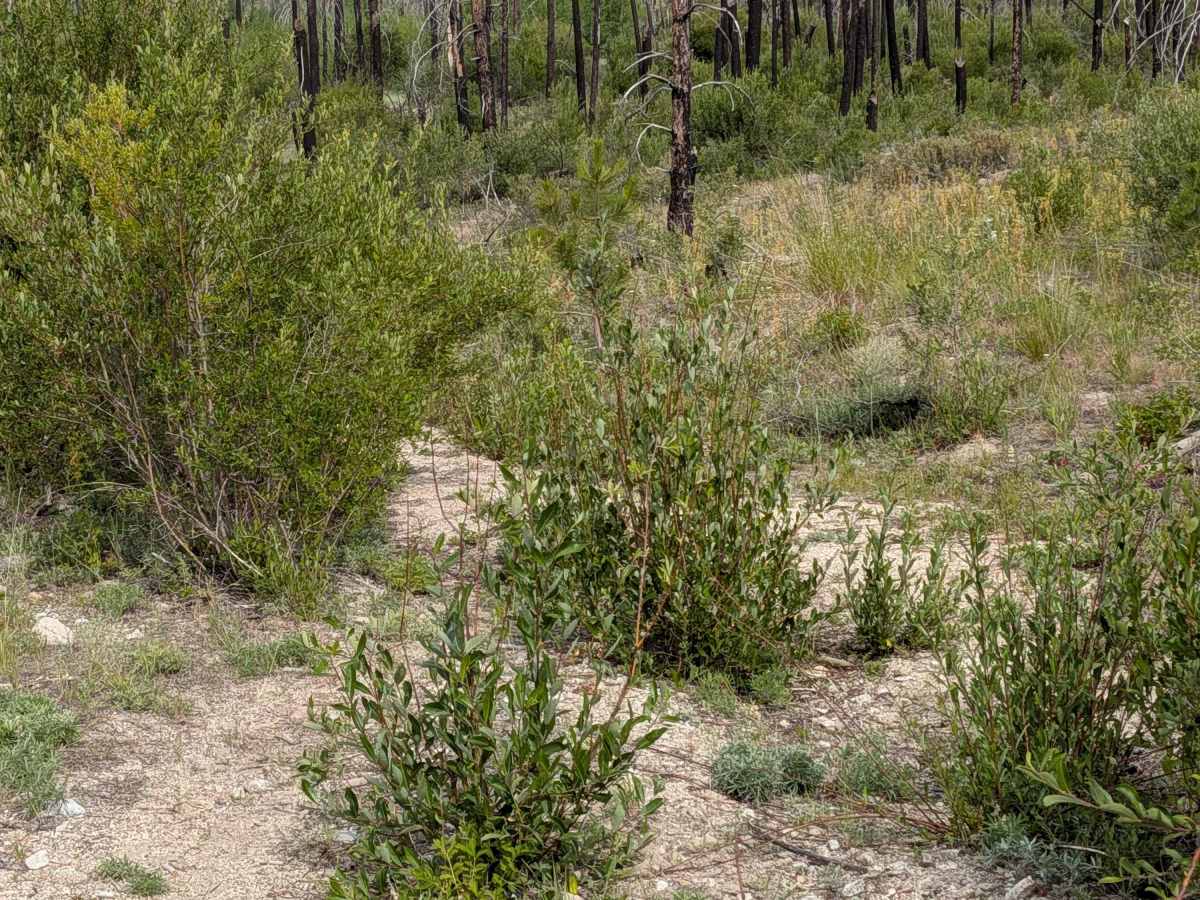
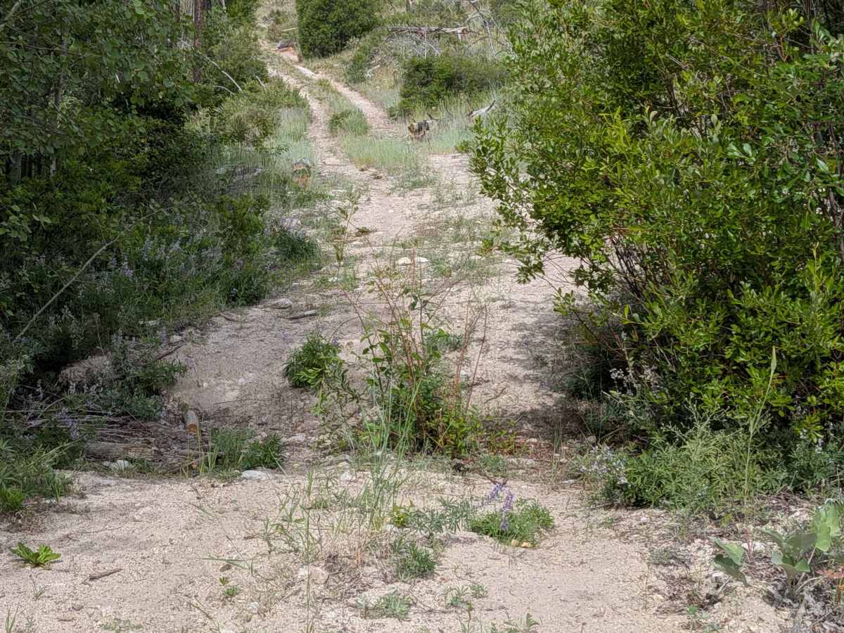
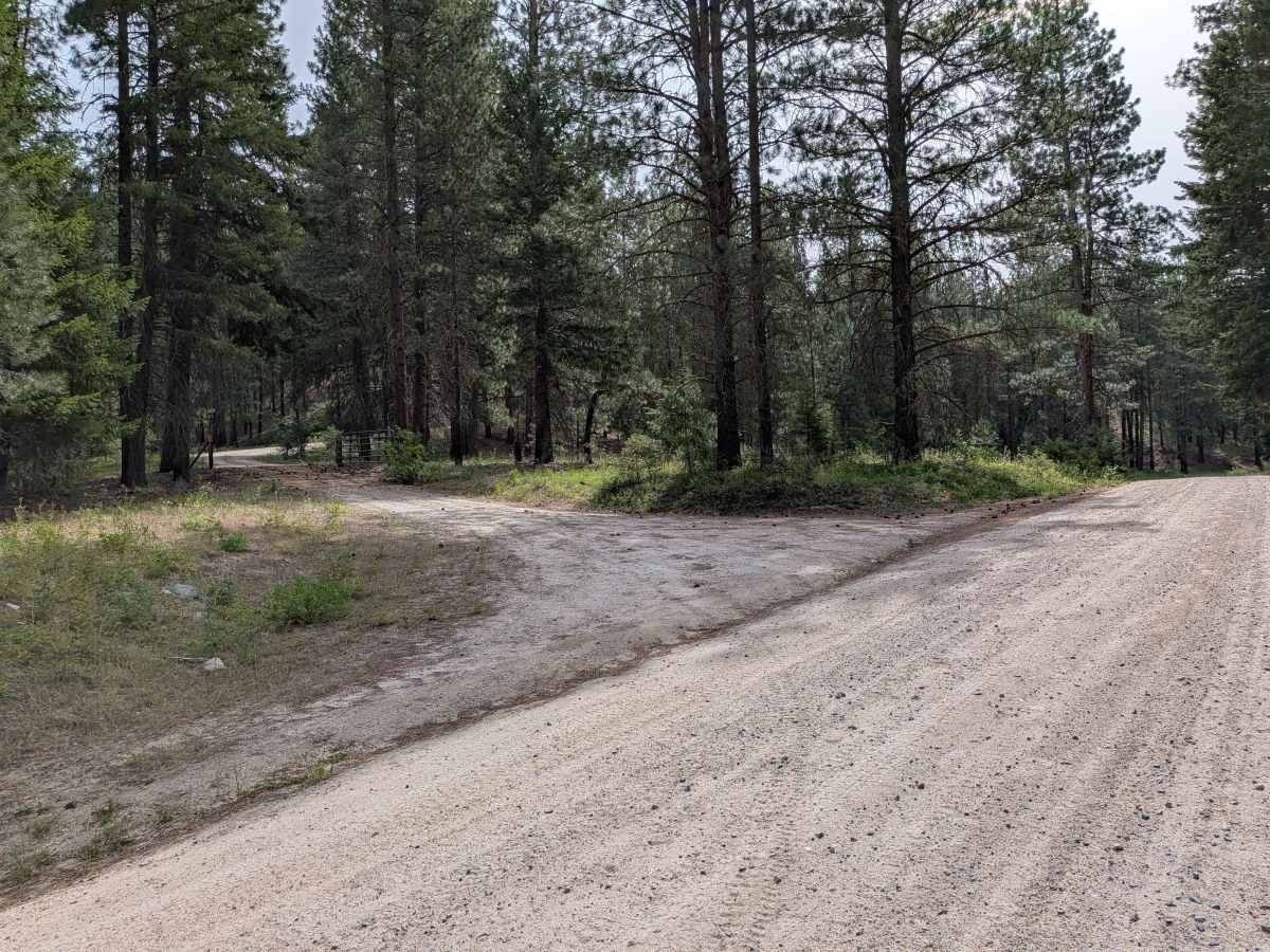
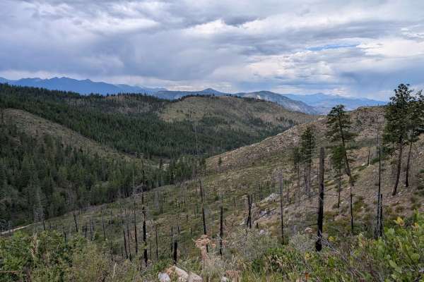
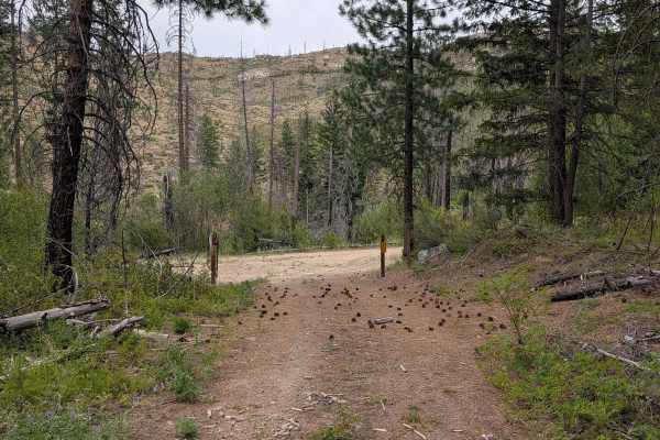
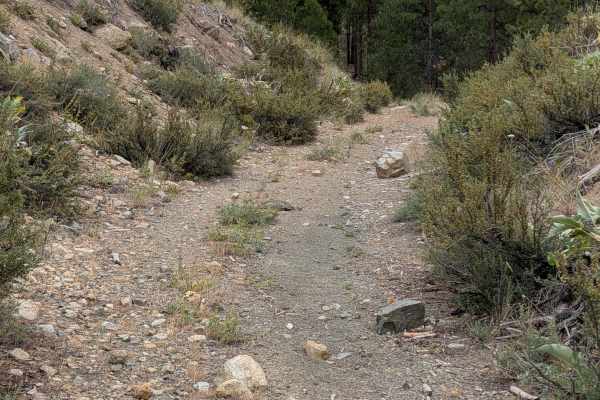
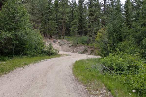
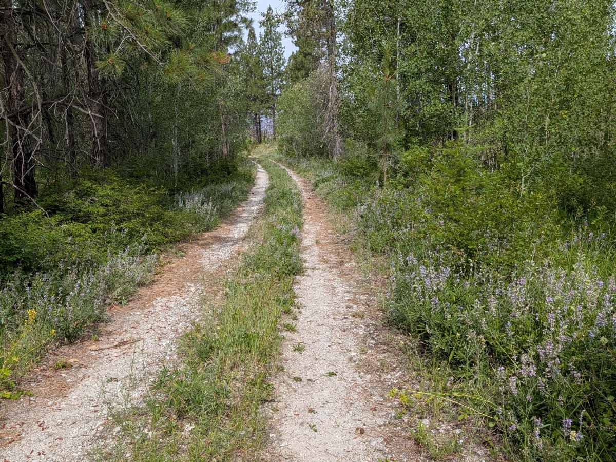
This is an out-and-back through both open pine forest and the area of an old burn. It's a single lane, with many areas too narrow to meet another vehicle, and the upper parts looking and feeling more like single track. It does show on the FS map as open to full-size vehicles. It's overgrown in places, and there are spots of erosion damage around 18" deep, including a ditch from a seasonal stream across the road. The track ends as marked on the FS map. A faint track that continues ahead ends shortly next to private land without a good turnaround. There are beautiful mountain views on the way back down

Photos of FS 4150-400

Difficulty

Rated 4 due to road width, erosion, and overgrowth

Technical Rating

4

FS 4150-400 Trail can be accessed by the following ride types:

  • Single Track
  • 50 Inch
  • 60 Inch
  • High Clearance
  • Full Width

FS 4150-400 Map

The onX Offroad Difference

onX Offroad combines trail photos, descriptions, difficulty ratings, width restrictions, seasonality, and more in a user-friendly interface. Available on all devices, with offline access and full compatibility with CarPlay and Android Auto. Discover what you're missing today!

Open Trail Map