Fossil Creek

Total Miles8.4
Technical Rating
3Easy
Best TimeSummer, Fall, Winter
Trail TypeHigh-Clearance 4x4 Trail
Accessible By
Open Trail Map

Trail Overview

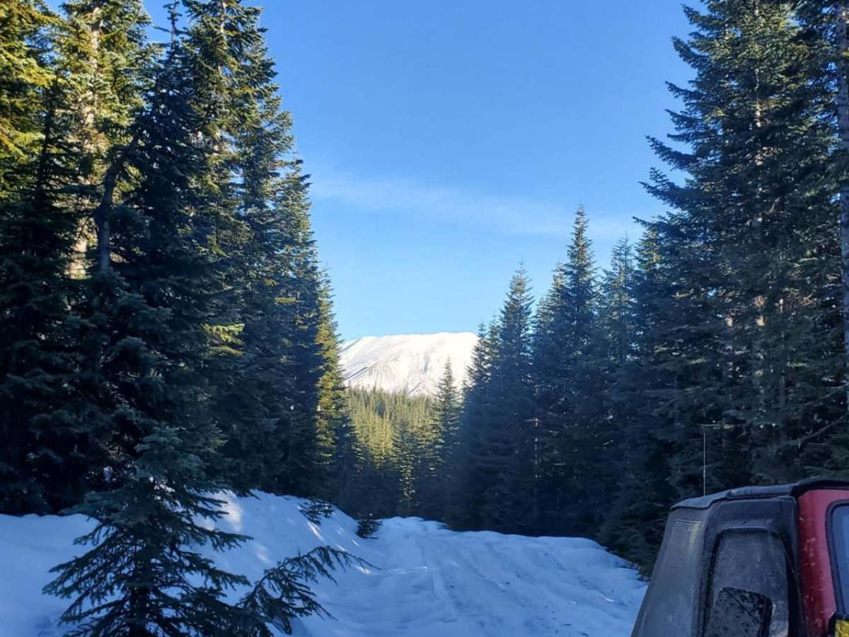
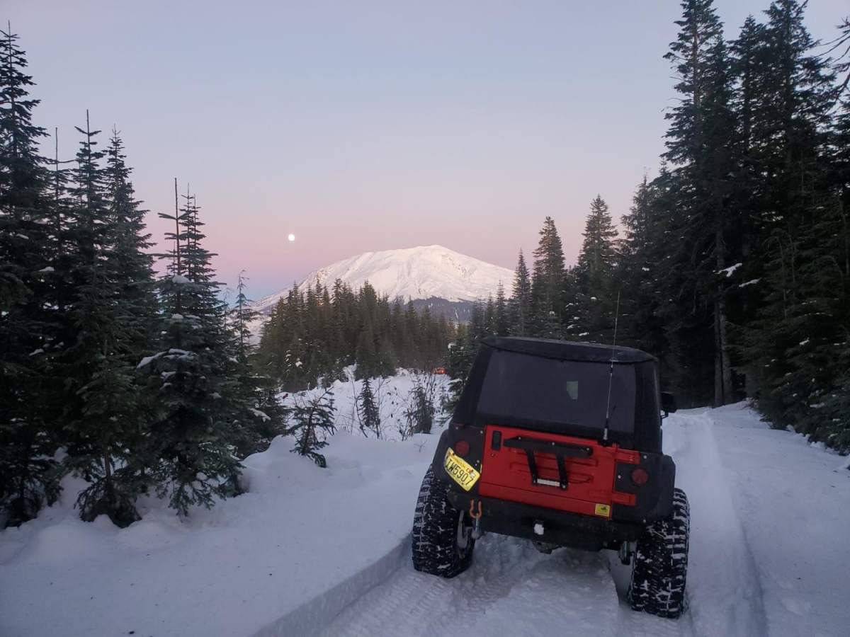
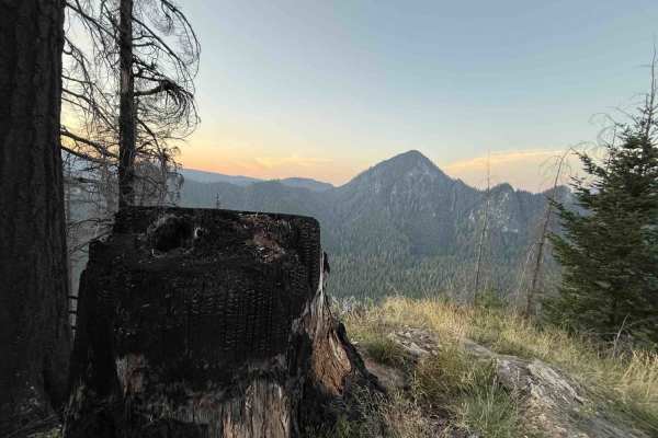
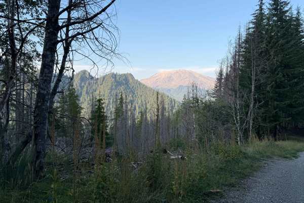
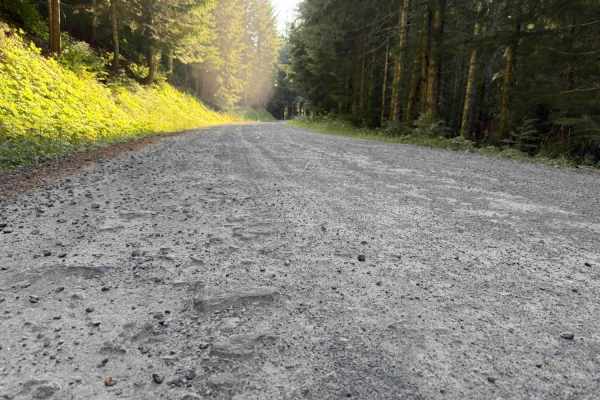
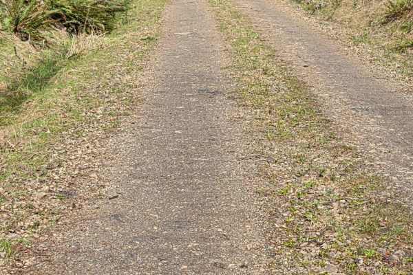
Fossil Creek is an ideal route for scenic explorers and those looking for a moderately challenging climb near Goat Mountain with stunning high-elevation views of the Gifford Pinchot National Forest. This unmaintained Forest Service road features a primary gravel surface, but offroaders should be prepared for deep potholes, deep ruts, and narrow single-lane sections with limited passing pullouts. A high-clearance four-wheel-drive vehicle, high-clearance SUV, or SxS with good approach and departure angles is highly recommended to safely navigate the rougher stretches of this trail. Spanning approximately 8.4 miles, this trail starts at an elevation of 2,020 feet and climbs steadily up to 4,157 feet, offering an elevation gain of over 2,300 feet. The route winds through dense forest before opening up near the top to provide spectacular vistas of the surrounding peaks, including nearby Mount St. Helens and the Goat Marsh Research Natural Area. Winter weather brings deep snowpack that makes the road impassable for standard vehicles, making late spring through autumn the prime seasons for this adventure.

Photos of Fossil Creek

Difficulty

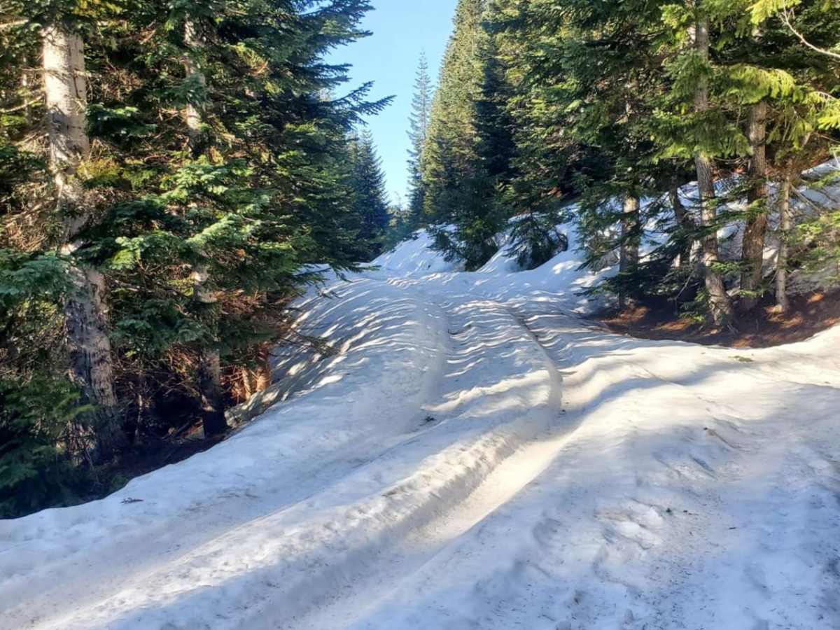
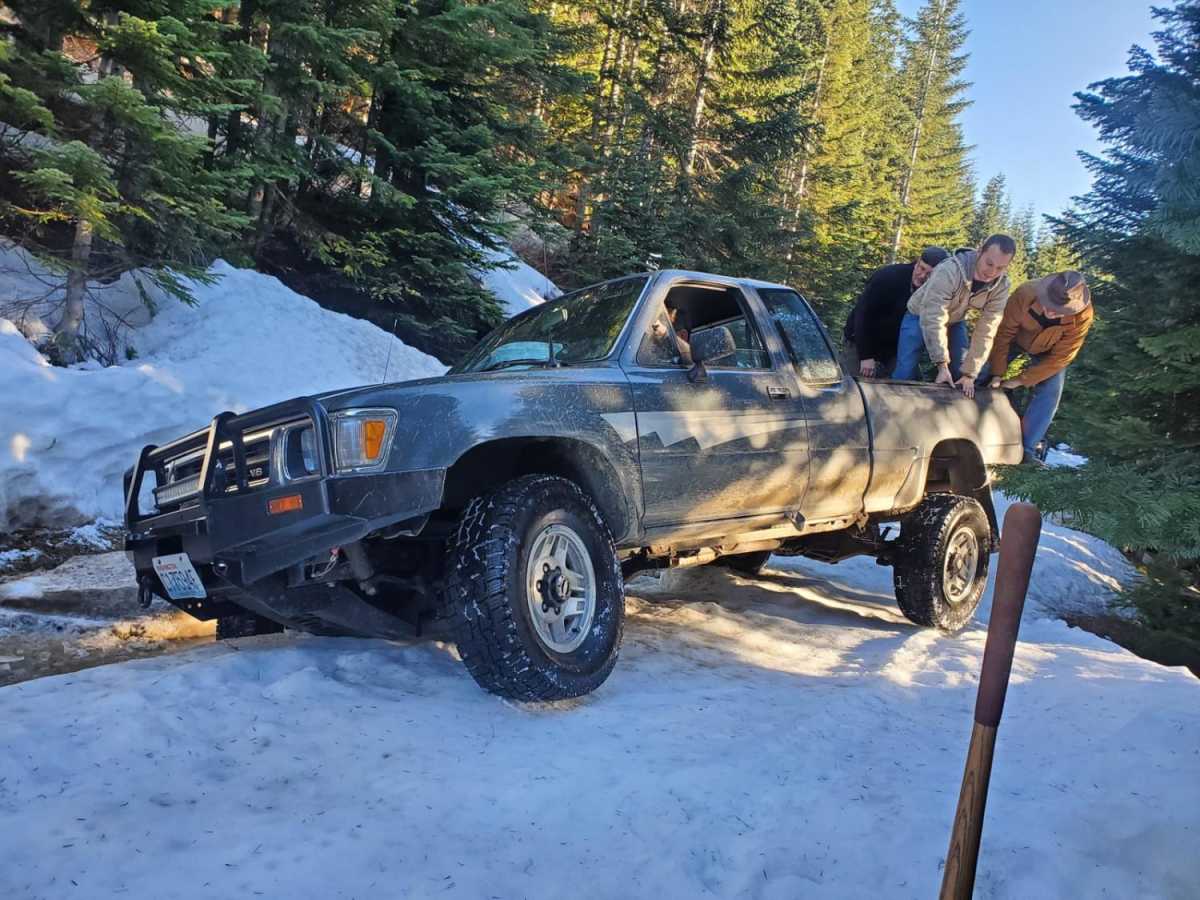
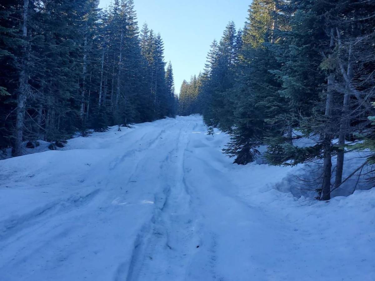
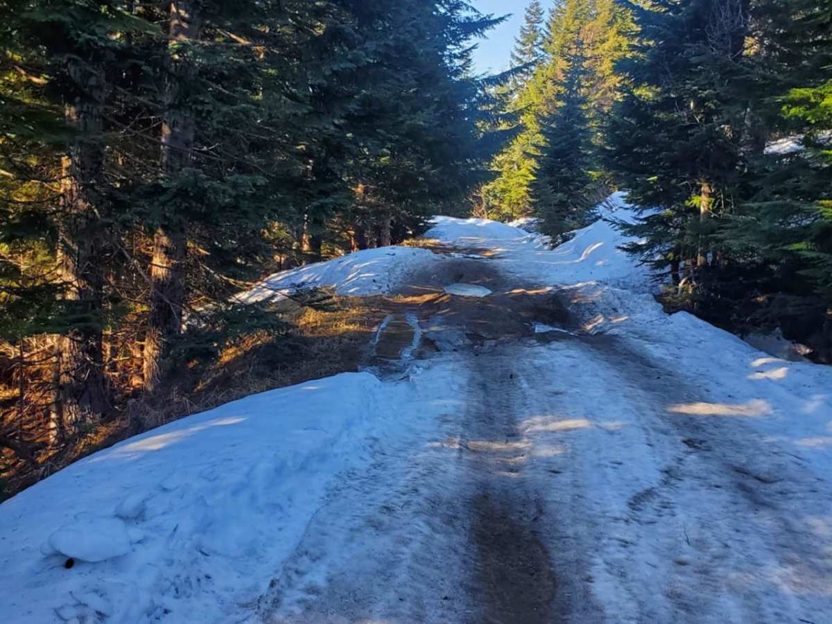
Most of the road is gravel and very easy, with just a handful of tough spots, deep ruts, and potholes. There is a lot of snow in the winter.

Technical Rating

3

Status Reports

Add Status Report
Clay Rydick
Dec 02, 2025
2002 Lexus LX
Open
Muddy/Wet
Large puddles, some erosion/washouts rarely deeper than 1’. No snow on the trail, occasional patches visible to the side of the trail near the top. Ice crusting over the surface of some puddles in the last mile, not thicker than 0.25”. Suggested AWD/4WD, medium high clearance or an occasionally ambitious lead foot (based on conditions encountered, subject to current trail conditions). Gate was closed at the top, but alternate trail was open heading west from the gate for less than a mile, providing stunning views of the mountain and the valleys below. Heavy fog below, none present for the majority of the trail. Significant rainfall in the days following may have altered the conditions. Stunning views mostly limited to the last mile of the trail, deer sightings along the length of the trail.
Roger Caceres
Jun 23, 2024
Open
Rough/Deteriorated
Make sure you bring a chainsaw and machete for the last part of the trail , big rocks and lots of wild life
Melvin Sanders
Jun 22, 2024
Open
Normal
The description of the trail is largely correct if you’re staying on this trail. If you break off of it, you might find some massive obstacles. The last mile or so of this trail was blocked by a “private property” sign and locked gate.

Fossil Creek Trail can be accessed by the following ride types:

  • Single Track
  • 50 Inch
  • High Clearance

Access Description

This is an unmaintained Forest Service road. There are no permits required for general off-highway vehicle use, but the road is not plowed in winter and remains inaccessible under heavy snowpack until late spring.

Fossil Creek Map

The onX Offroad Difference

onX Offroad combines trail photos, descriptions, difficulty ratings, width restrictions, seasonality, and more in a user-friendly interface. Available on all devices, with offline access and full compatibility with CarPlay and Android Auto. Discover what you're missing today!

Open Trail Map