Trail Overview
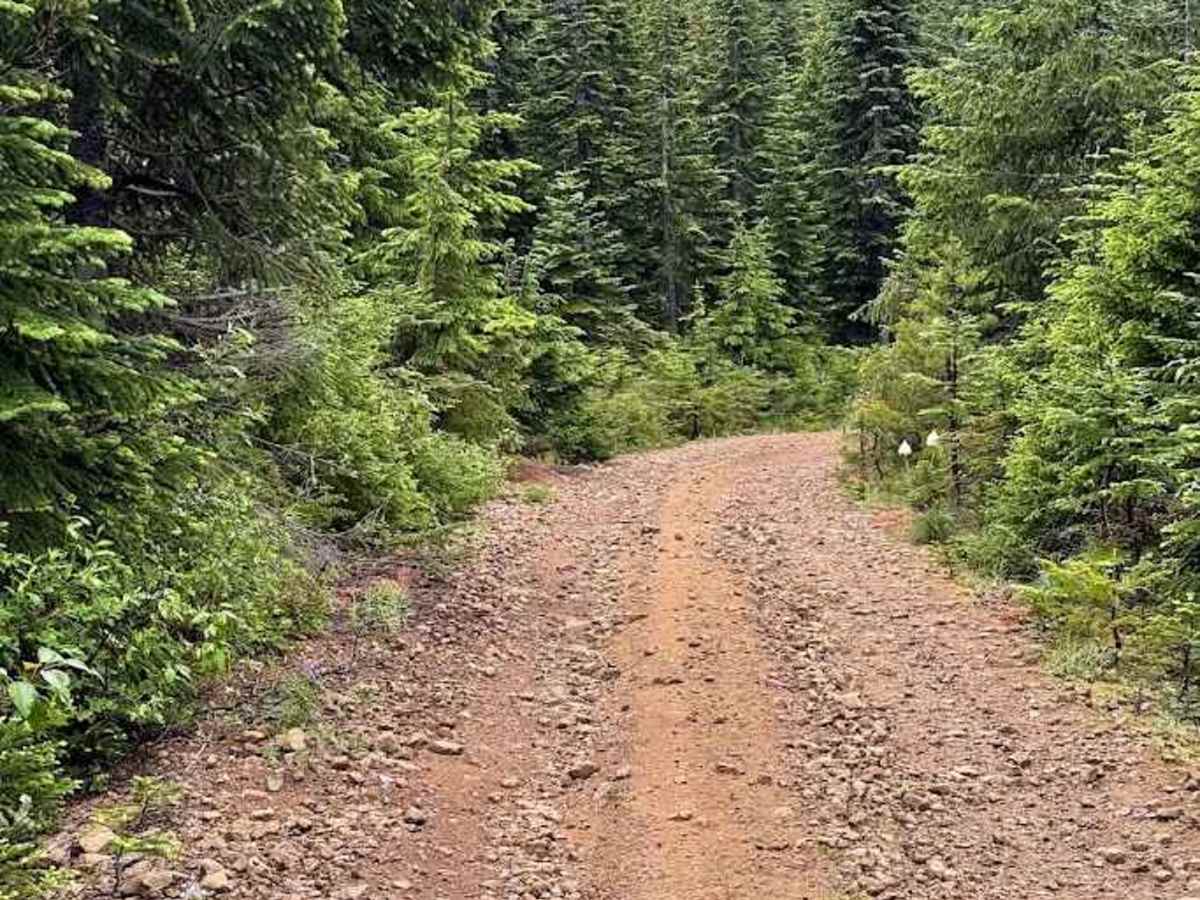
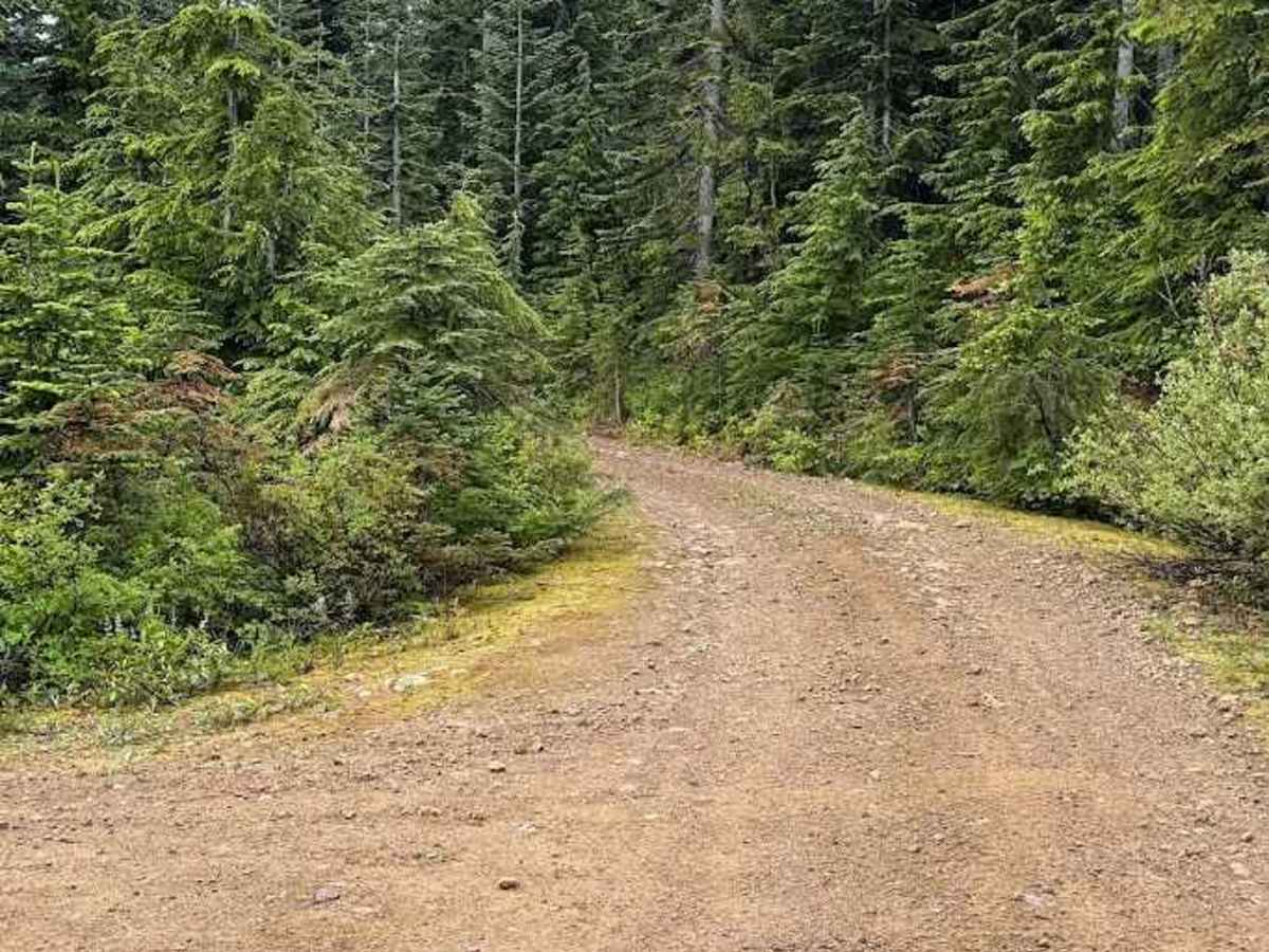
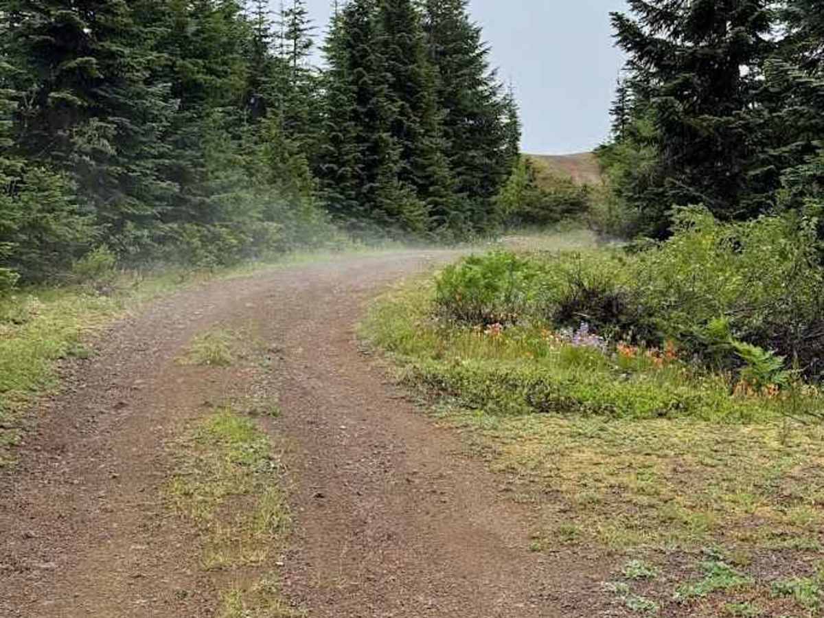
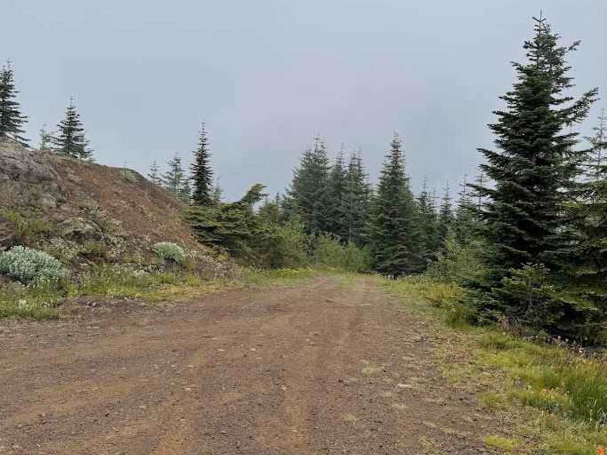
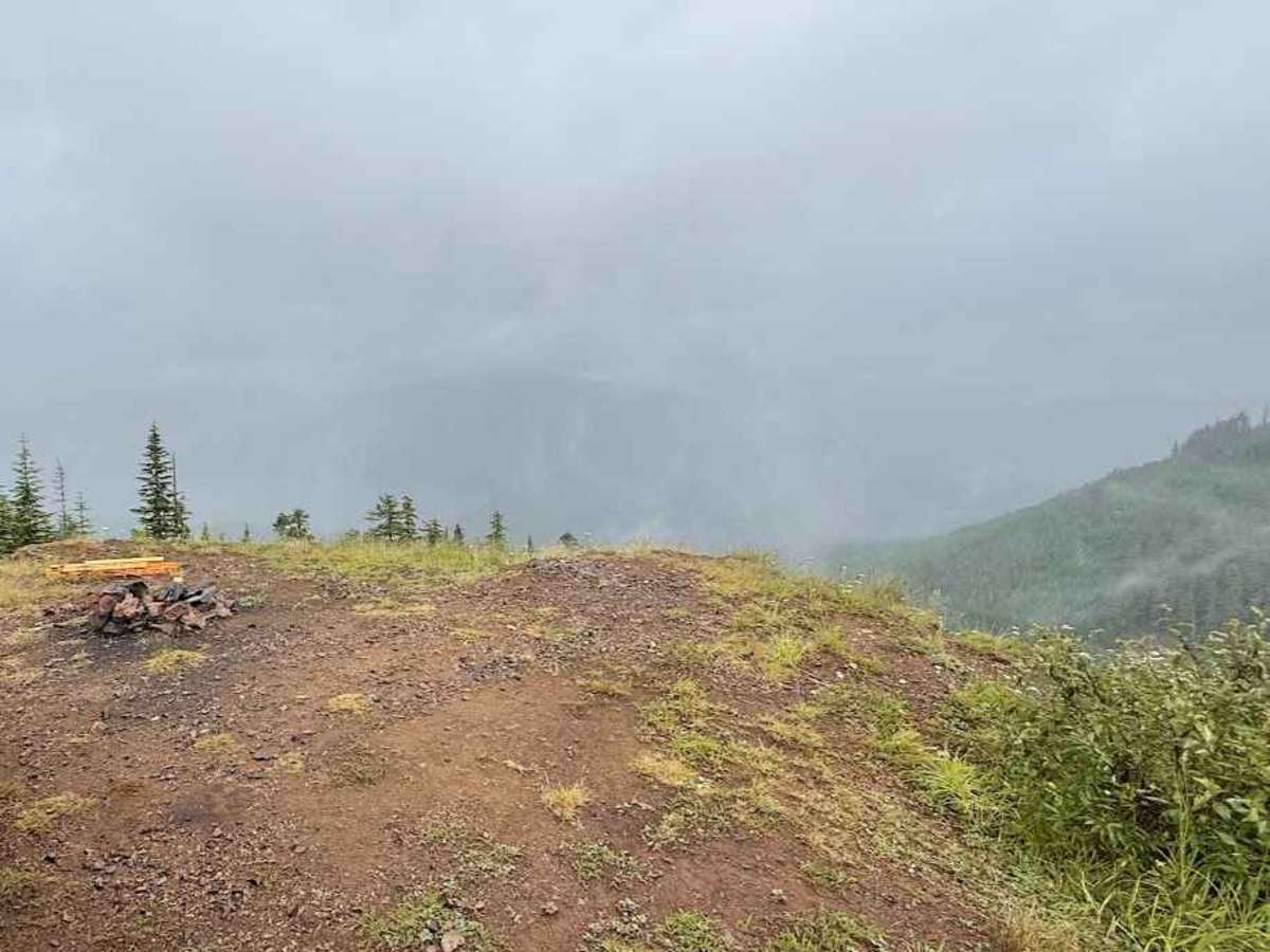
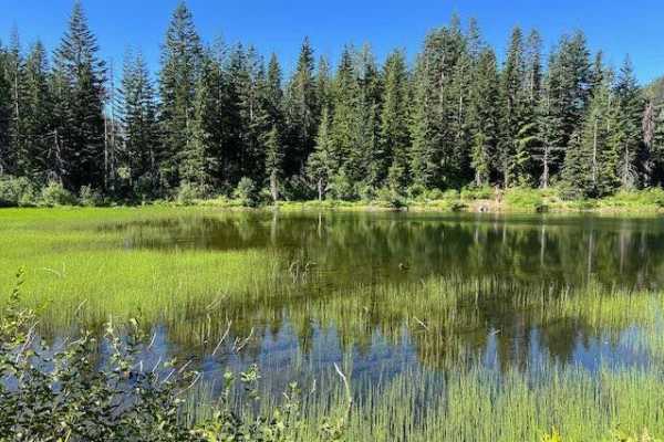
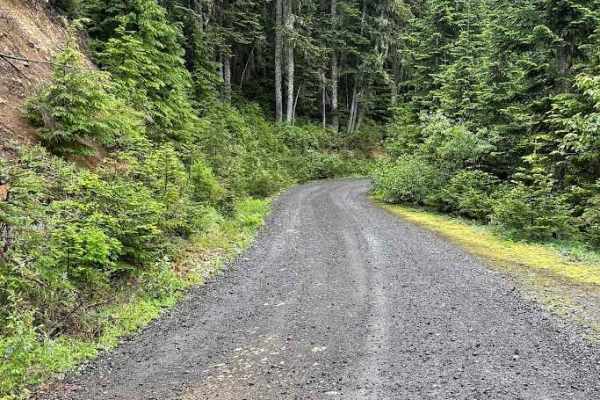
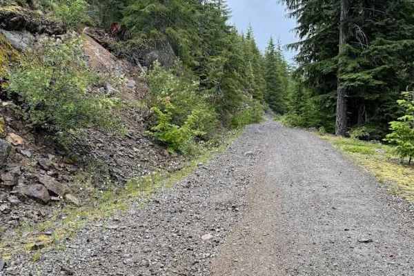
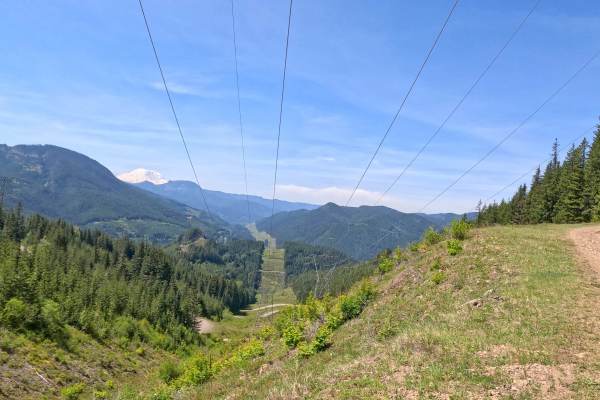
This route is a fun, easy-to-moderate forest road that climbs through the Wenatchee National Forest above Keechelus Lake. The road is mostly packed dirt and gravel with a few rocky sections, shallow ruts, and occasional mud holes after rain or spring snowmelt. Most high-clearance AWD and 4WD vehicles will have no trouble in dry conditions. As you gain elevation, the forest opens to a scenic clearing with sweeping views overlooking Easton, the surrounding Cascade foothills, and the valleys below, making it a perfect place to stop for photos or a quiet lunch. The road also provides access to the Stirrup Lake Trail, which connects to the Pacific Crest Trail.
This area is worth exploring beyond the main route. Several nearby forest roads invite additional adventures, while dispersed camping opportunities can be found throughout the surrounding national forest where permitted. The area is popular during hunting season and offers excellent opportunities for wildlife viewing, with deer, elk, black bear, grouse, and a variety of birds often spotted along the drive, especially during the early morning and evening. Whether you're looking for a relaxing scenic drive, a short hike, or a quiet place to camp, this route makes an enjoyable destination just minutes from I-90.