E352415a

Total Miles3.5
Technical Rating
5Moderate
Best TimeSpring, Summer, Fall
Trail TypeFull-Width Road
Accessible By
Open Trail Map

Trail Overview

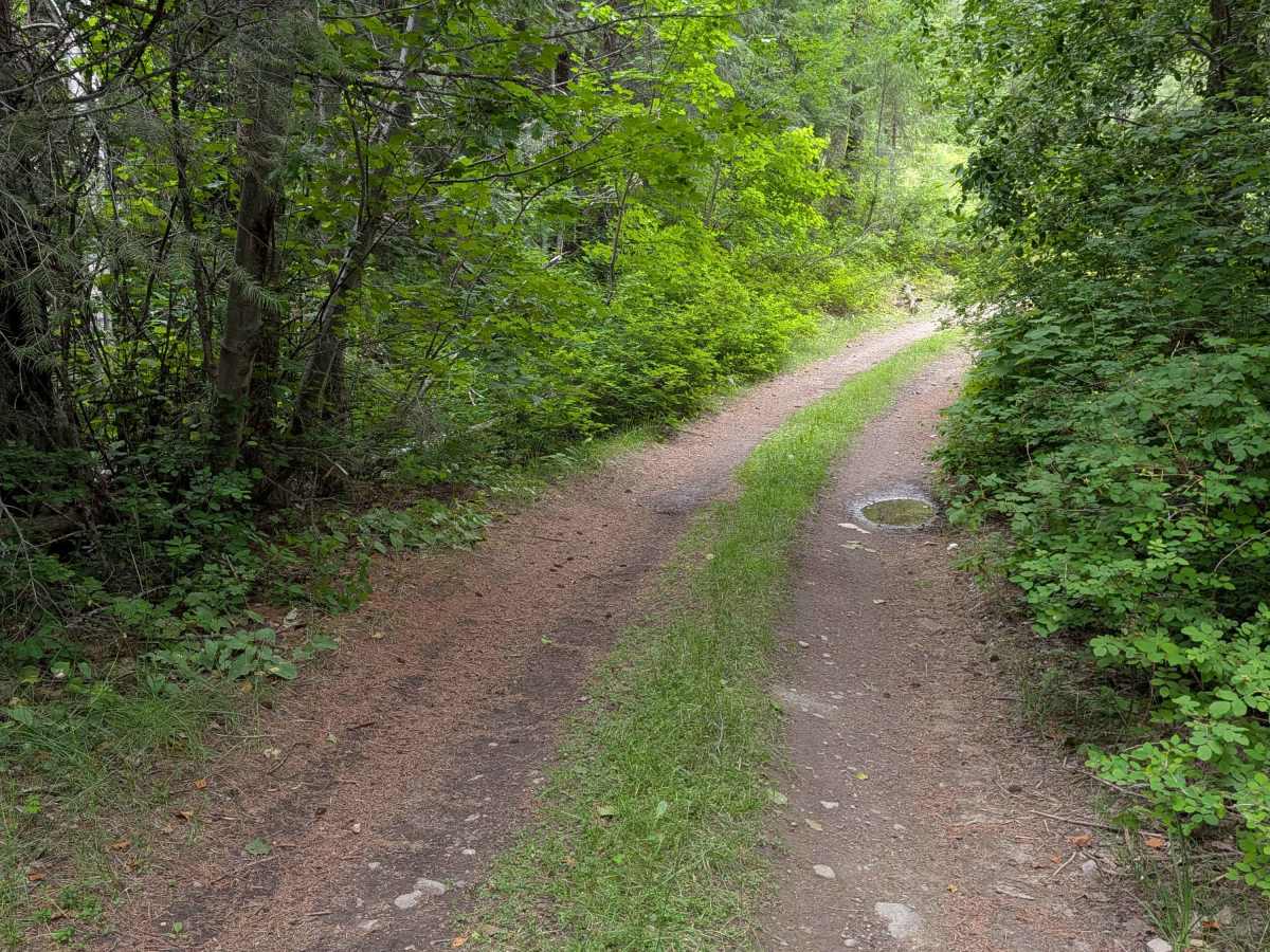
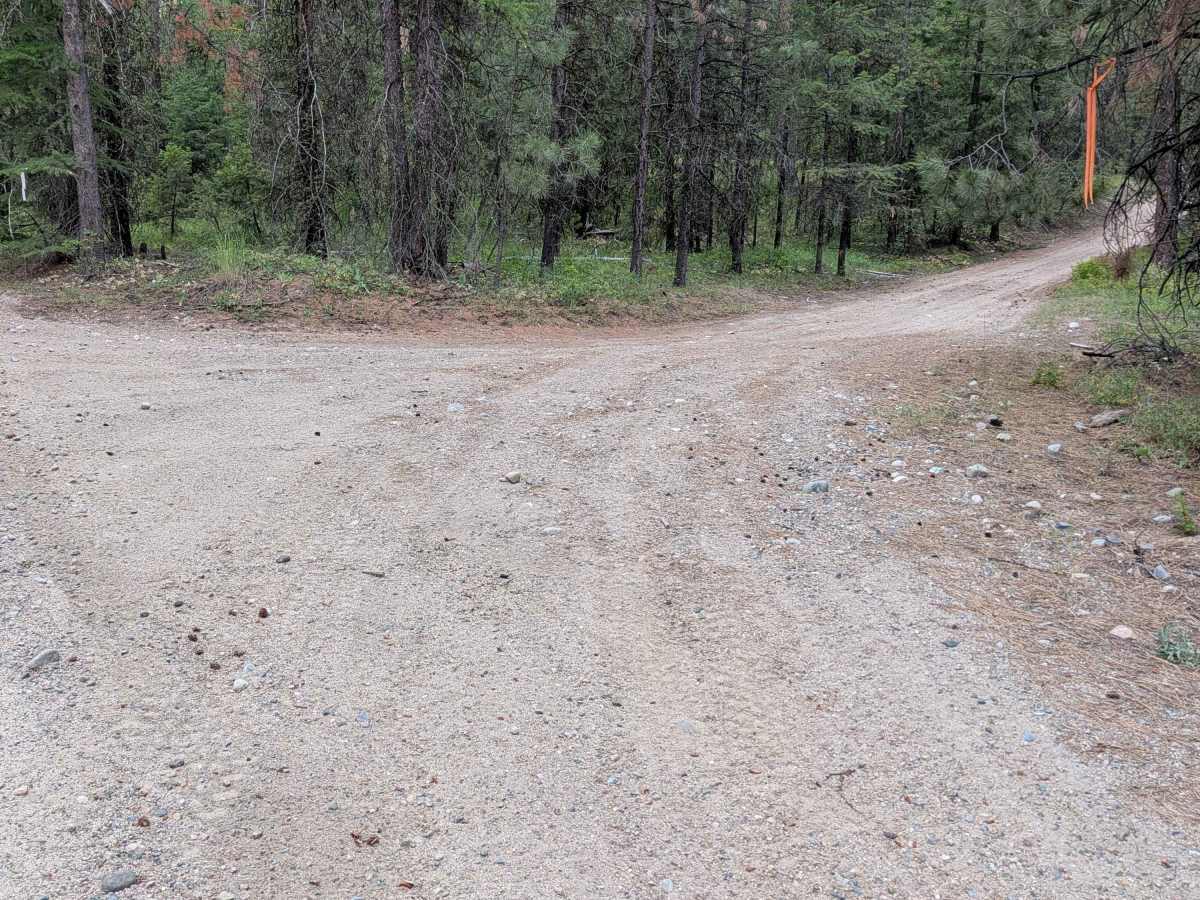
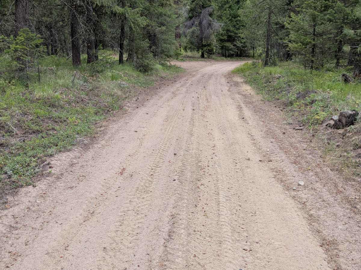
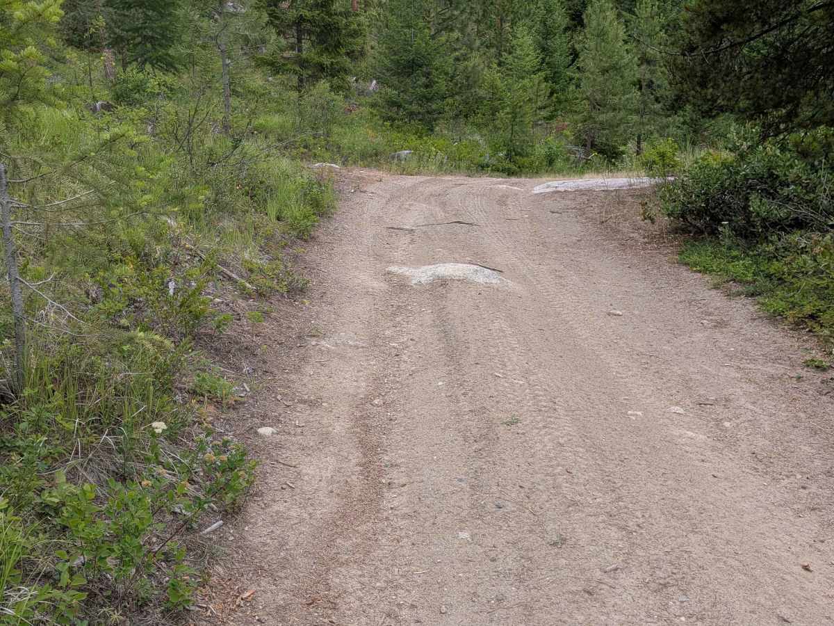
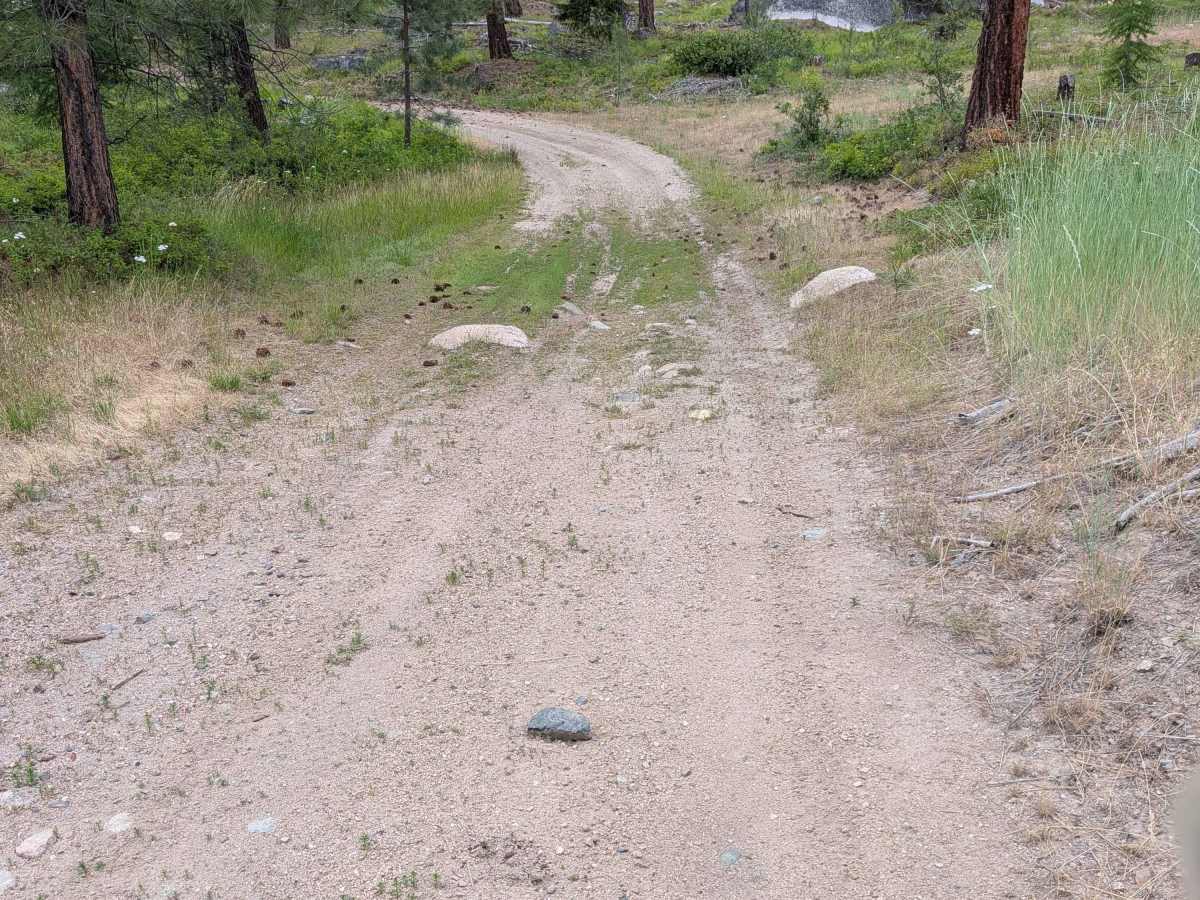
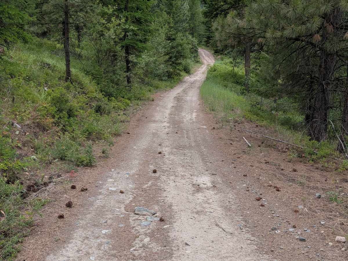
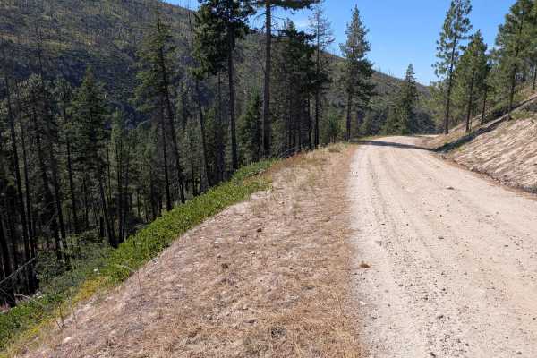
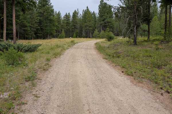
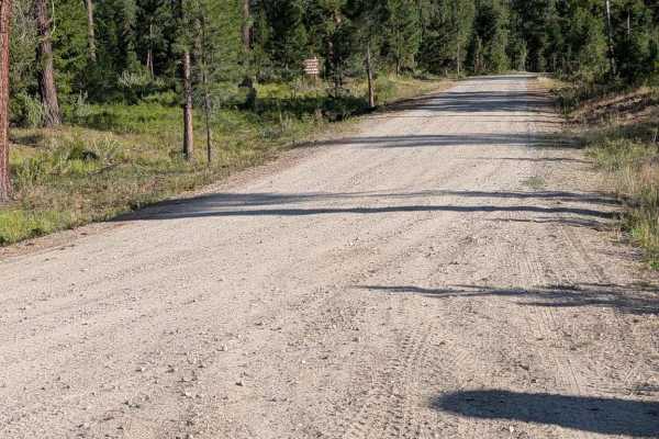
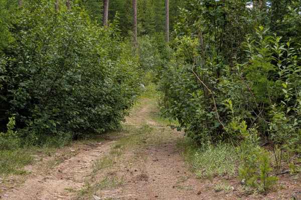
This single-lane dirt road starts from the main FS 41 road and finishes at Conger Creek Road, FS 3700-100. Most of the road is in decent shape, with some erosion ruts and damage. There were embedded rocks around a foot high and loose rocks of similar height. The primary obstacle is a steep and rocky washout crossing at Cedar Creek. The drop-in and climb-out are about 8 feet high. It was shallow when mapped, but will change with seasons. Most of the road was of difficulty 3 to 4.

Photos of E352415a

Difficulty

Most of the road would be rated a 3 to 4 due to road width, large, loose, and embedded rocks about a foot high. The 5 rating is for the steep washout crossing

Technical Rating

5

E352415a Trail can be accessed by the following ride types:

  • Single Track
  • 50 Inch
  • 60 Inch
  • High Clearance
  • Full Width

E352415a Map

The onX Offroad Difference

onX Offroad combines trail photos, descriptions, difficulty ratings, width restrictions, seasonality, and more in a user-friendly interface. Available on all devices, with offline access and full compatibility with CarPlay and Android Auto. Discover what you're missing today!

Open Trail Map