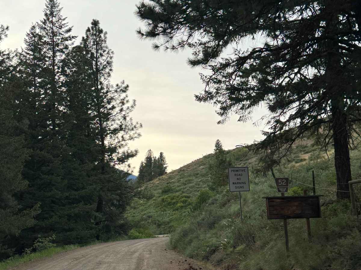
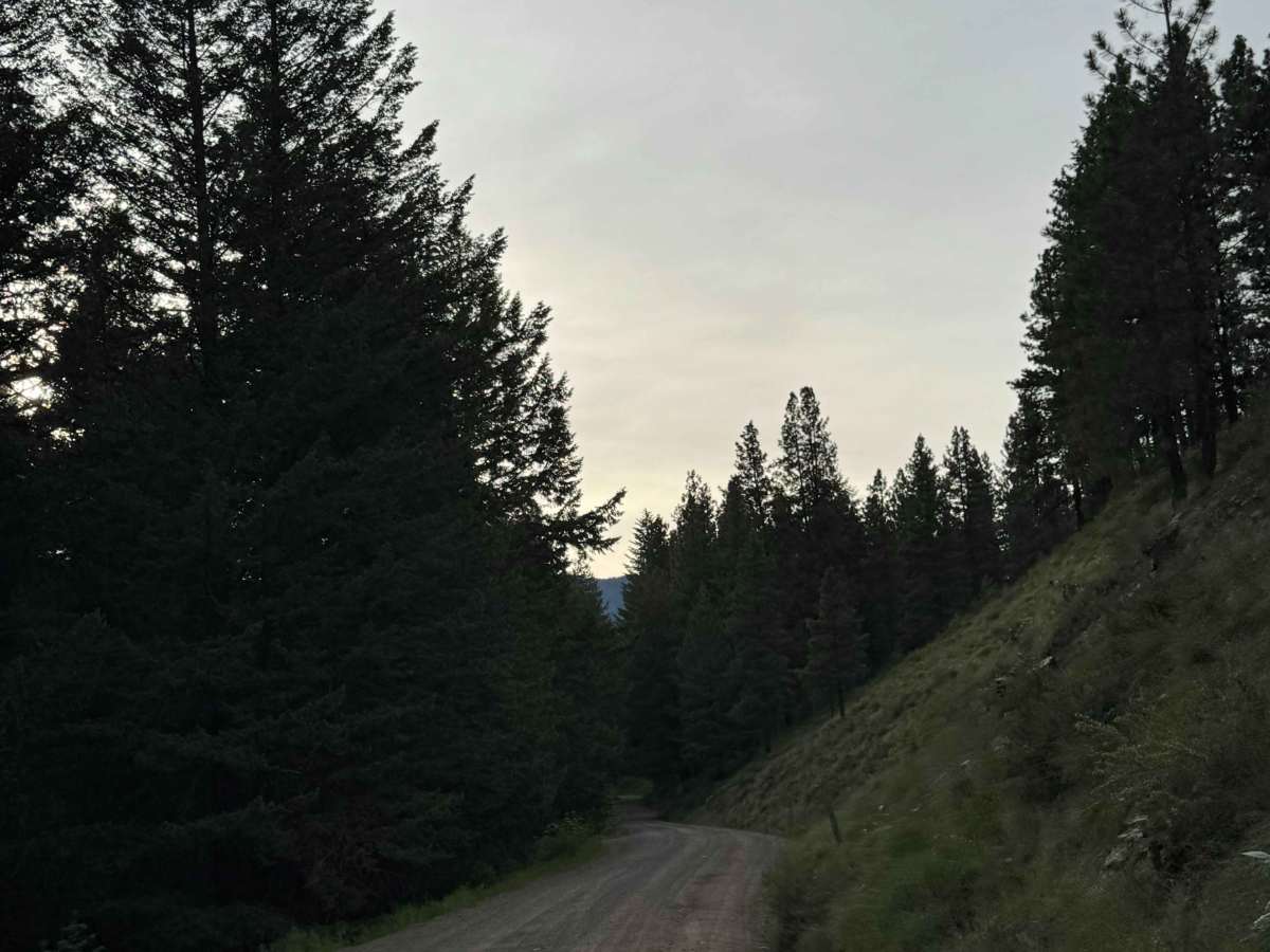
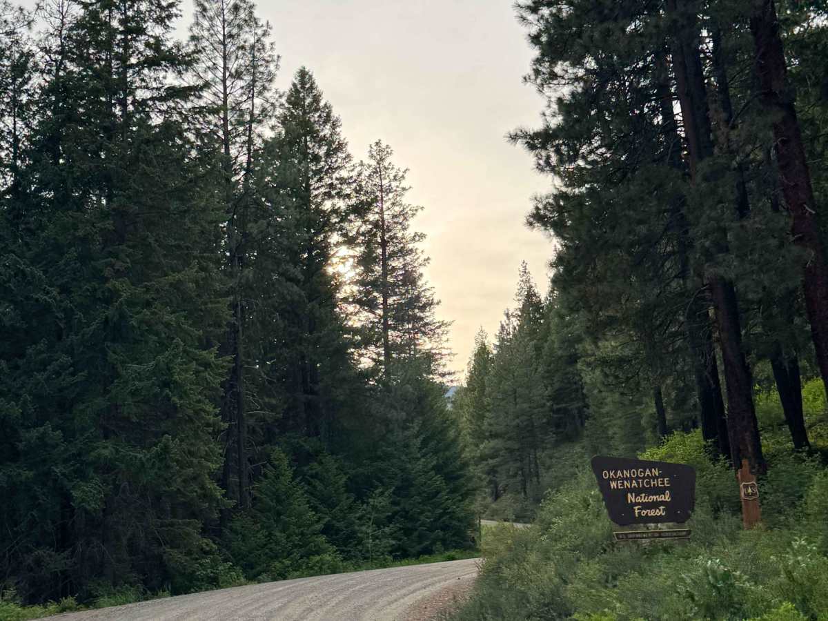
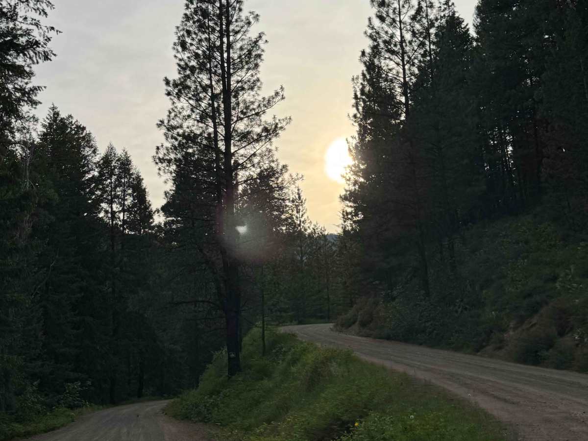
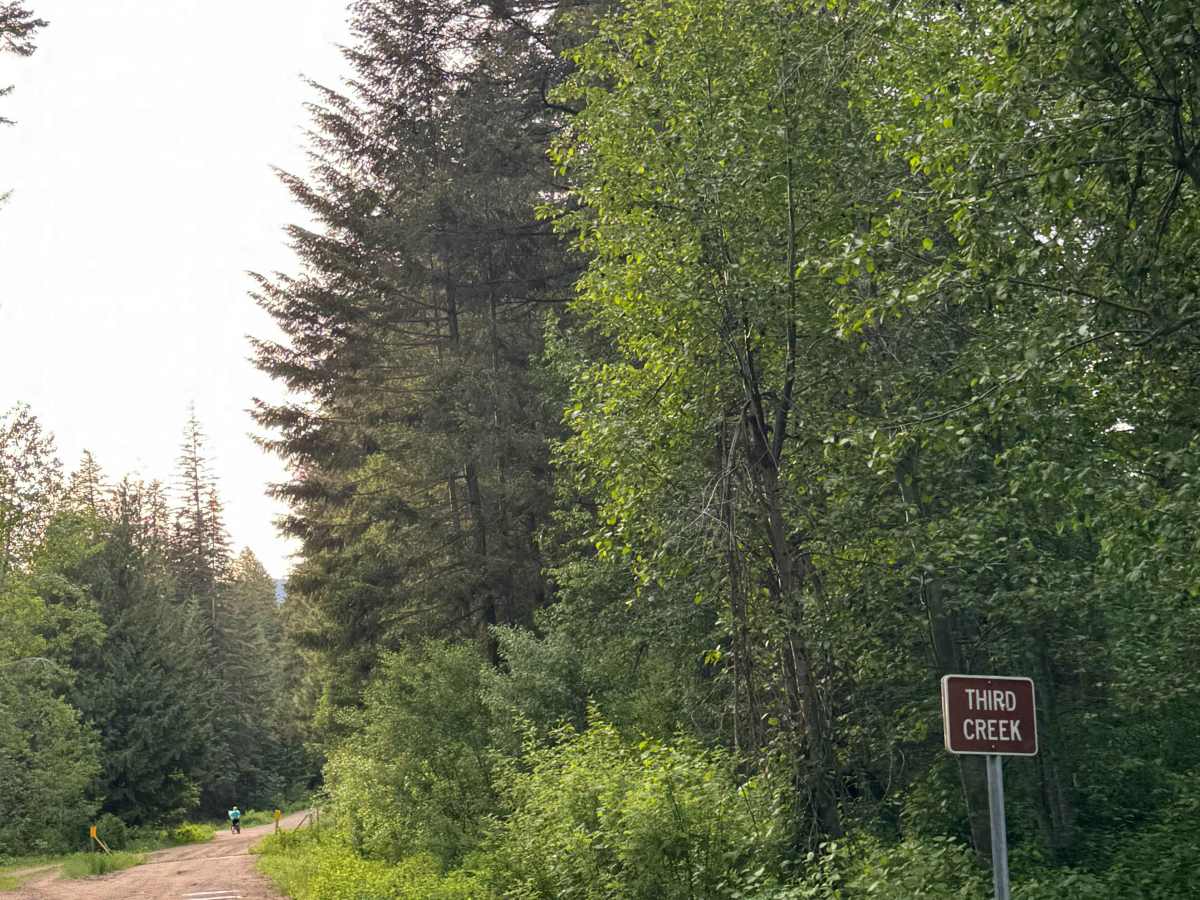
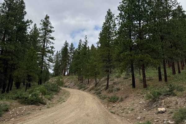
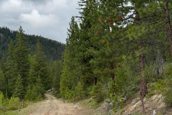
Trail Overview
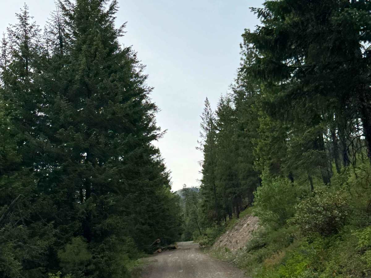
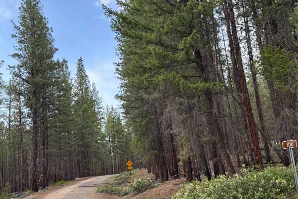
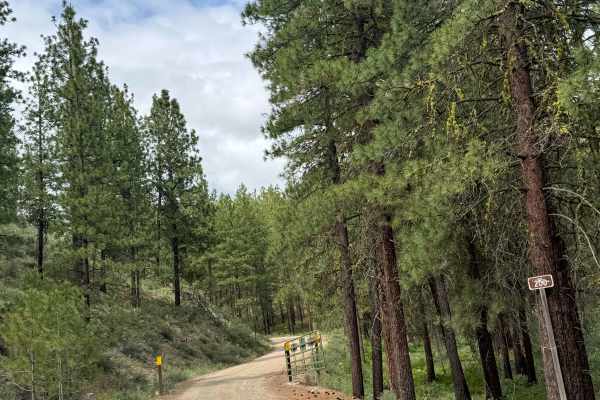
This is a hard-packed, gravel-based forest road that travels around 16 miles. The trail gradually gains over 2,000 feet in elevation to about the 8-mile mark, then loses 1,800 feet. The road is winding and has minor ruts and wash, with only one section of heavy washout that is manageable by any vehicle type. There are a couple of switchbacks and ledges with drop-offs, but the trail is wide with plenty of room for passing. As the trail winds you to the northwest, you will have dense forest views and views of the surrounding peaks, including some snow-capped mountains of the North Cascades. There are several cattle guards along the trail, so watch your speed. Camping is available along this entire trail with many dispersed campsites that have pre-existing fire rings. Cell phone service was weak at times and non existent others, so downloading the offline map could be helpful, especially with the many split-off trails. The closest services will be in Mazama, Washington, approximately 25 minutes northwest, so travel with all needed supplies.
Difficulty
Winding, gravel-based forest road that gradually climbs over 2,000 feet in elevation. There are switchbacks and ledges, as well as minor ruts and wash. This trail is suitable for any vehicle type.